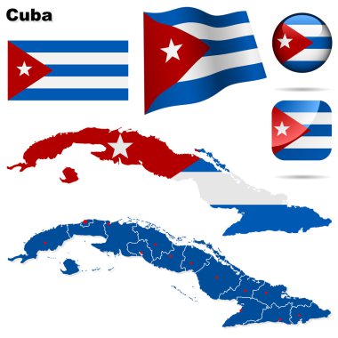
Cuba vector set. Detailed country shape with region borders, flags and icons isolated on white background.

Cuba map

Colorful Cuba map with provinces and capital cities

Map of Cuba as an overview map in green

Cuba travel background with resort and holiday symbols flat vector illustration
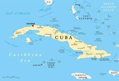
Cuba Political Map with capital Havana, national borders, most important cities and rivers. English labeling and scaling. Illustration.

Vector Cuba Map card paper on blue background, high detailed

Republic of Cuba - vector map
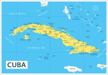
Map of Cuba - Highly Detailed Vector illustration

Cuba map and flag . Waving textile design . Dot world map background . Vector .

Cuba blank detailed outline map set - vector version

Cuba map. Blank vector map of the Country. Borders of Cuba for your infographic. Vector illustration.

Cuba map with its symbols flat poster on blue caribbean sea and atlantic ocean background vector illustration

Cuba map Infographic map design, Vector illustration.

Aerial view Cuba Administrative divisions
Travel stamps set, vector illustration

Vector color map of Cuba country
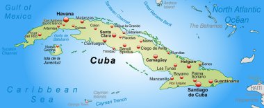
Map of Cuba as an overview map in pastel green

Cuba travel icons, Havana Caribbean tourism, beach resorts and landmark city tours, vector. Welcome to Cuba, map and flag, history and culture travel, sugar and fruits plantations sightseeing

Grunge rubber stamp with the name and map of Cuba
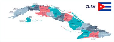
Cuba map and flag - High Detailed Vector Illustration

Map of North Ameraca

Cuba map icon, vector illustration
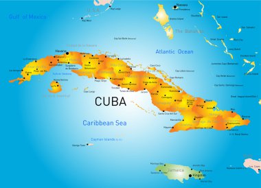
Vector color map of Cuba country

Spectrum Hexagonal Cuba Map. Vector geographic map in bright colors on a white background. Spectrum has horizontal gradient. Color vector pattern of Cuba Map designed of hexagon dots.
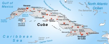
Map of Cuba as an overview map in gray
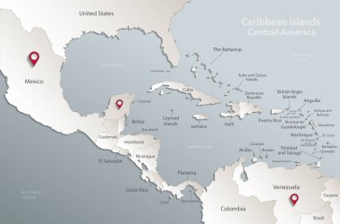
Caribbean islands Central America map, state names, separate states, card blue white 3D vector
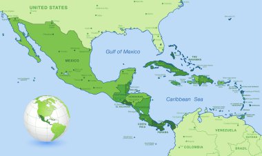
High detail map of Central america, with a 3D Globe centered on these countries.
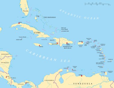
Political map of the Caribbean - Large and Lesser Antilles - with their capitals, national borders, rivers and lakes. Vector illustration with english labeling and scale.
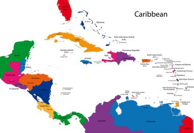
Caribbean map with countries
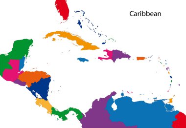
Colorful Caribbean map with countries

Cuba - detailed blue country map with cities, regions. Vector illustration

Greater Antilles political vector map with English labeling
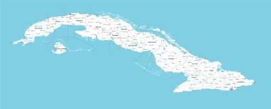
A large and detailed map of Cuba with all provinces, lakes, rivers and main cities.

Central America map - highly detailed vector illustration. Image contains land contours, country and land names, city names, water object names, navigation icons.

Highlighted Cuba on Global Map with 3D Flag Location Pin of Cuba.

Detailed vector map of Cuba and capital city Havana

Cuba map round

Travel stamps set, vector illustration

Cuba map with shadow effect

Cuba high detailed map. Country silhouette icon. Isolated Cuba black map outline. Vector illustration.

A Scribbled Map of the country of Cuba

Cuba map blackboard chalkboard vector

Map of Cuba as an overview map in pastel orange

Three versions of the World Map with the enlarged map of Cuba with flag.

Cuba vector map with infographic elements, pointer marks. Editable template with regions, cities and capital Havana.

Abstract vector color map of Cuba with transparent paint effect. For colorful presentation isolated on white.
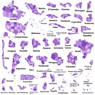
Latin, Caribbean, North and South American country regions' maps

Cuba map infographic vector template with regions and pointer marks

Political map of south and north america

Colorful Cuba map with provinces and capital cities
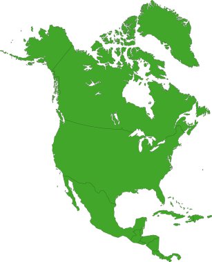
Green North America map with country borders

Cuba Map - Detailed Info Graphic Vector Illustration

Cuba map countries

Layered editable vector illustration country map of Cuba,which contains two versions, colorful country flag version and black silhouette version.

Cuba Map - High Detailed Vector Illustration

Vector illustration of a vintage sticker in form of Cuba

Cuba map with waving flag of country. Vector illustration.

North America map with flags, North America map colored in with their flag. Vector Illustration.

Freehand illustration featuring pirate related sketches. Layered vector set.

Mosaic Cuba map isolated on a white background. Vector geographic abstraction in pink and violet colors. Mosaic of Cuba map combined of random circle points.

Set of hand drawn Cuba icons Cuban sketch illustration Doodle elements Isolated national elements made in vector Travel to Cuba icons for cards and web pages Maracas Cuba Map Flag Rum Cigar

Cuba map card paper 3D natural vector

Cuba map Country icon
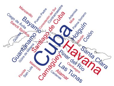
Cuba map and words cloud with larger cities

Map with highlighted Cuba map and flag

Glossy colorful Cuba map application point label symbol hanging over enlightened background

Set of isolated cuba maps. cuba flag overlaid with flag proportions. Maps and traveling around the world

Cuba Map Pin with National Flag on Open World Map.

Cuba Location Highlighted on American Map with Flag Icon.

Flag of cuba. Flag icon. Standard colors. Standard size. Rectangular flag.

Abstract Red Cuba Map with Cities

Isometric Map of Cuba. Simple 3D Map. Vector Illustration - EPS 10 Vector

Travel Cuba Symbol - vector illustration

Cuba travel set with sights and landmarks symbols flat isolated vector illustration

Caribbean -highly detailed map. Vector illustration

Cuban national symbols composition poster with flag guitar rum cocktail and royal palm flat abstract vector illustration

Map Latin America. Poster map of Latin America. Black and white print map of Latin America for t-shirt, poster or geographic themes. Hand-drawn graphic map with countries. Vector Illustration

Low Poly map of Cuba isolated. Vector version

Vintage postcard with flag of Cuba

A Map of the country of Cuba

Blue polygonal North America map

Grunge rubber stamp with the name and map of Cuba, vector illustration

Central America map - highly detailed vector illustration. Image contains land contours, country and land names, city names, water object names, navigation icons.
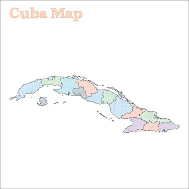
Cuba hand-drawn map. Colourful sketchy country outline. Eminent Cuba map with provinces. Vector illustration.

Political Caribbean and Central America Map vector illustration with different colors for each country. Editable and clearly labeled layers.

Middle America political map with capitals and borders. Mid-latitudes of the Americas region. Mexico, Central America, the Caribbean and northern South America. Illustration. English labeling. Vector.
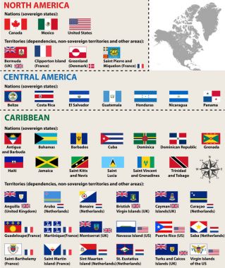
Vector isolated flags of North America(include Central America and Caribbean countries)
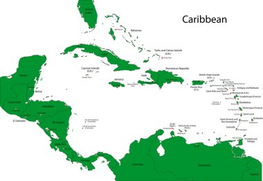
Caribbean map with countries
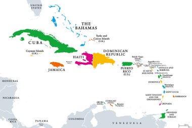
The Caribbean, colored political map. Subregion of the Americas in the Caribbean Sea with its islands and English names. The Greater Antilles and the Lesser Antilles. Isolated illustration over white.

Blue-gray detailed map of Haiti administrative divisions and location on the globe. Vector illustration

Association of the Caribbean States map

Map of Cuba as an overview map in pastel orange

The Caribbean Map - Vintage Detailed Vector Illustration

The Caribbean Map - Detailed Info Graphic Vector Illustration

Caribbean islands Central America map, separate states, card paper 3D natural vector
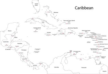
Caribbean map with countries

The Caribbean Map - Detailed Vector Illustration

The Caribbean Map - Vintage Detailed Vector Illustration
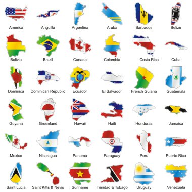
Vector editable isolated american flags in map shape with details