
Czech Republic regions Map grey

Czech Republic isolated map and official flag icons. vector Czech political map 3d illustration. Central Europe geographic banner template. travel and business concept maps

Czech Republic Map. Black silhouette country map isolated on white background. Black outline on white background. Vector file
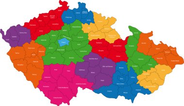
Map of administrative divisions of Czech Republic

Czech Republic map, black and white detailed outline regions of the country. Vector illustration

A large and detailed map of Czech Republic with all areas, chiefdoms and cities.

Map of Czech Republic with shadow

Accurate map of Czech Republic
Czech Republic flag, map and glossy button, vector illustration set.

Czech republic isometric map for travelers with typical national food beer and astronomical clock tower vector illustration

Czech Republic Physical Map - Detailed map of Czech Republic vector illustration - All elements are separated in editable layers clearly labeled.

Map of Czech Republic divided to administrative regions with labels
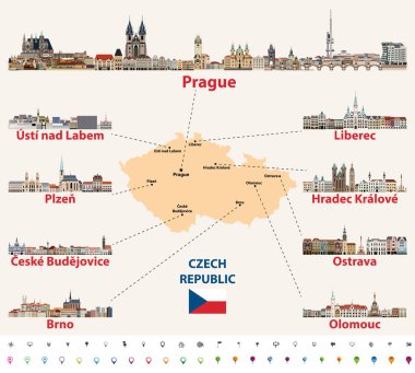
Map of Czech Republic with main cities skylines vector illustration
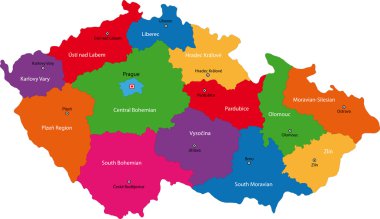
Regions of the Czech Republic with capital cities

Czech Republic vector set. Detailed country shape with region borders, flags and icons isolated on white background.

Map of Czech Republic with flag - vector illustration

Map of Czech Republic as an overview map in pastel green

European country Czech Republic and detailed regions

Czech Republic isolated map and official flag icons. vector Czech political thin line style map. European country geographic banner template. travel and business concept maps

European countries set, maps and flags, part 1

Set of the political Czech Republic maps, markers and symbols for infographic
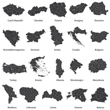
Vector maps of european countries
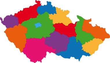
Regions of the Czech Republic

Czech republic administrative and political map with flag.

Flag, buttons and map of czech republic collection - vector

Czech Republic Map White Color - Detailed map of Czech Republic vector illustration - All elements are separated in editable layers clearly labeled.

Czech Republic map icon,vector illustration symbol design

Vector Czech map natural paper 3D

Illustration for web design or infographics. Vector file in eps 10 editable and scalable

Dotted map of Czech Republic for your design, concept Illustration

Czech Republic Physical Map. No text - Detailed map of Czech Republic vector illustration - All elements are separated in editable layers clearly labeled.

A large and detailed map of Czech Republic with all areas, chiefdoms and cities.

Vector map of Czech Republic
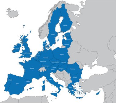
The 27 Member State of the European Union
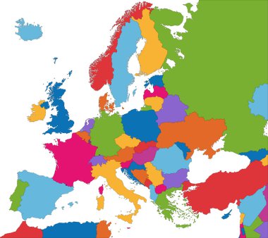
Colorful Europe map with country borders

Detailed vector poster city map Prague

Map of Czech Republic

Czech map isolated on png or transparent background,Symbol of Czech, template for banner,card,advertising, magazine, and business matching country poster, vector illustration

Europe - Highly Detailed Vector Map of the Europe. Ideally for the Print Posters

Europe map cover vector

Map of Czech Republic as an overview map in green

Dotted polka dot particle map of Czech Republic.

Cartoon map of Czech Republic. Travel illustration with landmarks, buildings, food and plants. Funny tourist infographics. National symbols. Famous attractions. Vector illustration
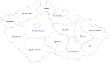
Map of administrative divisions of Czech Republic

Colored Sticker of Hand drawn doodle Czech Republic map. Thick white stroke with shadow. Czech city names lettering and cartoon landmarks, travel, trip comic infographic poster, banner concept design. Praha, Karlovy Vary, zoo, train

Czech Republic flag set in map, oval, circular and heart shape.

Road and administrative map of Czech Rep.

Travel around the world. Czech Republic. Watercolor map

Abstract mash line and point scales on dark background with map of czech Republic. Abstract network vector concept of czech Republic. Internet and connection map background. Triangle, dot ,line Vector.

Czech Republic Physical Map White and Grey - Detailed map of Czech Republic: borders, countries and citiesvector illustration - All elements are separated in editable layers clearly labeled.

Doodle Map of Czech Republic - vector illustration

Czech republic Map flag Vector 3D illustration Eps 10

Vector Maps of Czech Republic Map of Czech - Czech national flag Czech Map On Czech Flag Drawing, grunge And mosaic Flag Czech flag in mosaic The national flag & map of Czech Abstract Mosaic Grunge Czech Flag
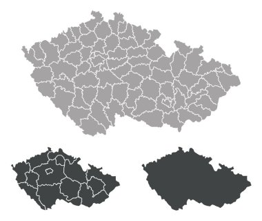
Outline map of Czech Republic

Hand drawn watercolor map of Czech Republic isolated. Vector version

Map of czech republic dot pattern national colors

Map of Czech Republic

Map of Czech Republic with location on european map

Czech Republic map design with 3D style. Blue Czech Republic map and National flag. Simple vector map with contour, shape, outline, on white.

Czech Republic political map with green shades and map pointer.
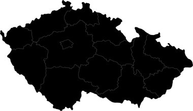
Regions of the Czech Republic

Vector polygonal czech Republic map. Low poly design. map made of triangles on white background. geometric rumpled triangular low poly style gradient graphic, line dots, UI design.

Map of Czech Republic with abstract background in violet

Czech Republic map and flag - High Detailed Vector Illustration

Map of Czech Republic, Vector Icon in blue color

High quality map of Czech Republic with borders of the regions on white background
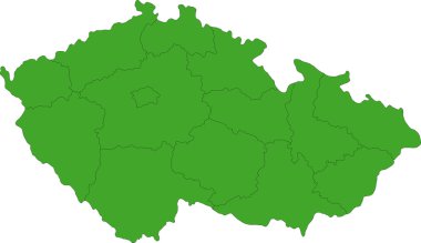
Map of administrative divisions of Czech Republic

Czech Republic isolated map and official flag icons. vector Czech political maps illustration. European country geographic banner template. travel and business concept maps
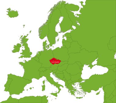
Location of Czech Republic on the Europa continent

Map of Czech Republic as an overview map in pastel green

Czech Republic isolated maps and official flag icon. vector Czech political map icons with general information. Central Europe geographic banner template. travel and business concept map

Vector maps set. High detailed 28 maps of European Union countries (member states) with administrative division and cities. Political map, map of Europe , world map, globe, infographic elements.

Czech republic Map, map of regions - vector
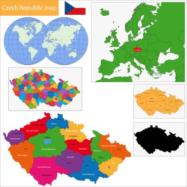
Regions of the Czech Republic with capital cities

Czech Republic map on a world map with flag and map pointer. Vector illustration

Czech Republic Map Retro Colors Isolated On White - Detailed map of Czech Republic vector illustration - All elements are separated in editable layers clearly labeled.

Large and detailed maps of all districts of the Czech Republic.

Czech Republic map, new political detailed map, separate individual regions, with state names, isolated on white background 3D vector

Czech Republic map in dark color, oval map with neighboring countries. Vector map and flag of Czech Republic

Zoom on Czech Republic Map and Flag. World Map

Czech Republic flag travel suitcase on a white background.

Low Poly Czech Republic Map with National Colors - Infographic - Vector Illustration

Eastern europe - vector maps of territories

Seasonal Climate Infographics. Weather, Air and Water Temperature, Sunny Hours and Rainy Days. Spring in Czech Republic. Vector Illustration EPS10

Czech republic map light neon vector

European country Czech Republic and detailed regions

Monochrome vector Czech Republic map

Monochrome contour map with city names

Slovakia Map - Vector Infographic Set. Vector illustration

Czech Republic map and flag - High Detailed Vector Illustration

Czech Republic blank detailed outline map set

Czech republic map and words cloud with larger cities

Detailed map of Europe

Czech Republic map icon vector illustration symbol design

Czech Republic map icon,vector illustration symbol design
Czech Republic map icon,vector illustration symbol design

Highly detailed physical map of the Czech Republic and Slovakia, in vector format,with all the relief forms,regions and big cities.

Czech Republic travel symbols set, vector, illustration
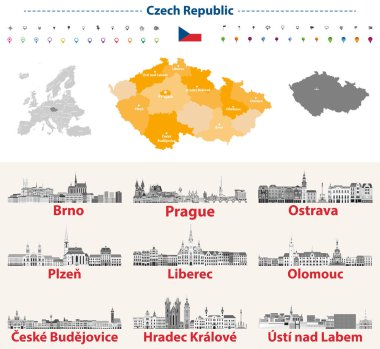
Czech skylines in grayscale color palette. Flag and map of Czech Republic
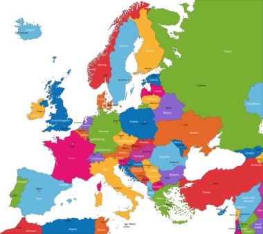
Colorful Europe map with countries and capital cities