10 FREE IMAGES of ShutterstockTry Shutterstock and Get 10 Free Images

dakota map SVG, Vector And Clipart Images

() dakota map SVG Vectors and Transparent background dakota map ClipArts. All Download the royalty free graphic in the form of SVG, PNG, EPS, AI or PSD.

Description:

Usage ideas:

Map of the U.S. state of South Dakota clipart svg vector

Map of the U.S. state of South Dakota
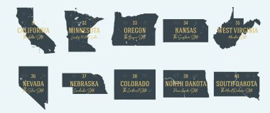
Set 4 of 5 Highly detailed vector silhouettes of USA state maps with names and territory nicknames clipart svg vector

Set 4 of 5 Highly detailed vector silhouettes of USA state maps with names and territory nicknames

High detailed North Dakota road map with labeling. clipart svg vector

High detailed North Dakota road map with labeling.

Road map of the US American State of South Dakota clipart svg vector

Road map of the US American State of South Dakota

Map of the Midwest United States of America clipart svg vector

Map of the Midwest United States of America

North dakota map with capital city clipart svg vector

North dakota map with capital city

South dakota map with capital city clipart svg vector
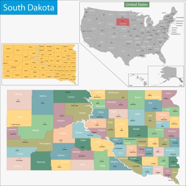
South dakota map with capital city

Map of South Dakota state designed in illustration with the counties and the county seats clipart svg vector
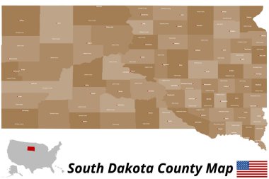
Map of South Dakota state designed in illustration with the counties and the county seats

A large and detailed map of the State of South Dakota with all counties and county seats. clipart svg vector

A large and detailed map of the State of South Dakota with all counties and county seats.

Illustration of State of South Dakota, USA clipart svg vector
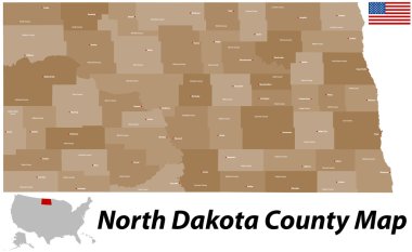
Illustration of State of South Dakota, USA

A large and detailed map of the State of North Dakota with all counties and main cities. clipart svg vector

A large and detailed map of the State of North Dakota with all counties and main cities.

USA map with magnified South Dakota State. South Dakota flag and map. clipart svg vector

USA map with magnified South Dakota State. South Dakota flag and map.

South dakota map sticker clipart svg vector

South dakota map sticker

Map of North Dakota clipart svg vector

Map of North Dakota

Grey map of South Dakota clipart svg vector

Grey map of South Dakota

Flat map of North Dakota in the U.S. for air travel by car and train. Vector illustration clipart svg vector

Flat map of North Dakota in the U.S. for air travel by car and train. Vector illustration

South Dakota blank outline map set clipart svg vector

South Dakota blank outline map set

North Dakota map vector background clipart svg vector

North Dakota map vector background

South Dakota map vector background clipart svg vector

South Dakota map vector background

Great state of South Dakota postal rubber stamp, vector object over white background clipart svg vector

Great state of South Dakota postal rubber stamp, vector object over white background

South Dakota map vector background clipart svg vector

South Dakota map vector background

Map of North Dakota clipart svg vector

Map of North Dakota

Flat design with map South Dakota concept for air travel clipart svg vector

Flat design with map South Dakota concept for air travel

South Dakota state blank vector outline map set clipart svg vector

South Dakota state blank vector outline map set

A Scribbled shape of the State of South Dakota clipart svg vector

A Scribbled shape of the State of South Dakota

Dakota County (Nebraska) blank outline map clipart svg vector

Dakota County (Nebraska) blank outline map

Vector Image - Map on flag button of USA North Dakota State clipart svg vector

Vector Image - Map on flag button of USA North Dakota State

North Dakota, Oklahoma travel stickers with scenic attractions and retro text on vintage suitcase background clipart svg vector

North Dakota, Oklahoma travel stickers with scenic attractions and retro text on vintage suitcase background

Map of the U.S. state of South Dakota clipart svg vector
Map of the U.S. state of South Dakota

Vintage colorful USA map. Vector illustration clipart svg vector
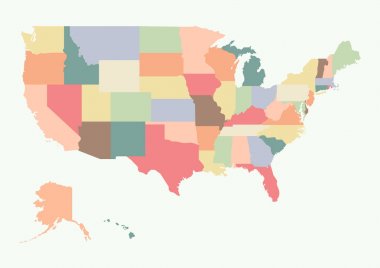
Vintage colorful USA map. Vector illustration

A High Detail vector Map of the United States of America States, with capitals and major cities, a 3D globe centered on USA, USA flag. clipart svg vector

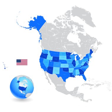
A High Detail vector Map of the United States of America States, with capitals and major cities, a 3D globe centered on USA, USA flag.
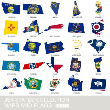
USA state collection, maps and flags, part 2 clipart svg vector

USA state collection, maps and flags, part 2

A large and detailed map of the USA with every single county. clipart svg vector

A large and detailed map of the USA with every single county.

Nice USA map isolated on white background clipart svg vector

Nice USA map isolated on white background

Map of North America. Detailed map of North America with States of the USA and Provinces of Canada. Template. Stock vector. EPS10. clipart svg vector

Map of North America. Detailed map of North America with States of the USA and Provinces of Canada. Template. Stock vector. EPS10.

Political map of United States od America, USA. Simple flat vector map in four shades of grey with white state name labels on white background. clipart svg vector

Political map of United States od America, USA. Simple flat vector map in four shades of grey with white state name labels on white background.

Detailed political map of the USA including Alaska and Hawaii and flat map pointers. clipart svg vector

Detailed political map of the USA including Alaska and Hawaii and flat map pointers.

Vector map of the United States of America. Colorful sketch illustration with all 50 states clipart svg vector

Vector map of the United States of America. Colorful sketch illustration with all 50 states

United States Map Old Color. Highly detailed editable political map. clipart svg vector

United States Map Old Color. Highly detailed editable political map.

USA map with states clipart svg vector

USA map with states

USA map with federal states. Vector illustration clipart svg vector

USA map with federal states. Vector illustration

Blank similar USA map isolated on white background. United States of America country. Vector template for website, design, cover, infographics. Graph illustration clipart svg vector

Blank similar USA map isolated on white background. United States of America country. Vector template for website, design, cover, infographics. Graph illustration
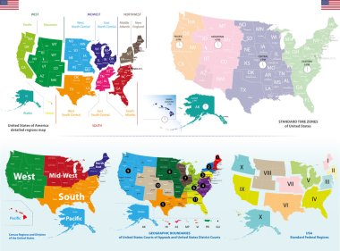
Vector maps of United States including regions and time zones maps clipart svg vector

Vector maps of United States including regions and time zones maps

United states of America political map with drop shadow on white background clipart svg vector

United states of America political map with drop shadow on white background

Map of USA with name of stateson white background clipart svg vector
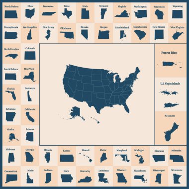
Map of USA with name of stateson white background

Outline map of the United States of America. 50 States of the USA. US map with state borders. Silhouettes of the USA and Guam, Puerto Rico, US Virgin Islands. Vector illustration. clipart svg vector

Outline map of the United States of America. 50 States of the USA. US map with state borders. Silhouettes of the USA and Guam, Puerto Rico, US Virgin Islands. Vector illustration.

Political map of United States od America, USA. Simple flat black outline vector map with black state name labels on white background. clipart svg vector

Political map of United States od America, USA. Simple flat black outline vector map with black state name labels on white background.

USA map with name of states. Vector illustration clipart svg vector
USA map with name of states. Vector illustration

USA, Map of United States Of America with name of states, American map in black and white clipart svg vector

USA, Map of United States Of America with name of states, American map in black and white

Benson County, North Dakota State (U.S. county, United States of America, USA, U.S., US) map vector illustration, scribble sketch Benson map clipart svg vector

Benson County, North Dakota State (U.S. county, United States of America, USA, U.S., US) map vector illustration, scribble sketch Benson map
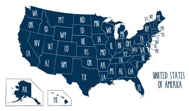
Hand drawn vector map of the United States of America. Sketch illustration with all 50 states clipart svg vector
Hand drawn vector map of the United States of America. Sketch illustration with all 50 states

High detailed USA map with federal states. Vector illustration United states of America. clipart svg vector
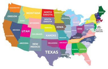
High detailed USA map with federal states. Vector illustration United states of America.

USA map with states clipart svg vector
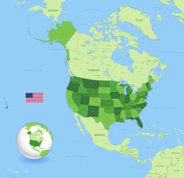
USA map with states

A High Detail vector Map of the United States of America States with capitals and major cities a 3D globe centered on USA; USA flag. clipart svg vector

A High Detail vector Map of the United States of America States with capitals and major cities a 3D globe centered on USA; USA flag.

Highly detailed vector silhouettes of US state maps, Division United States into counties, political and geographic subdivisions of a states, West North Central - North Dakota, South Dakota, Nebraska - set 7 of 17 clipart svg vector

Highly detailed vector silhouettes of US state maps, Division United States into counties, political and geographic subdivisions of a states, West North Central - North Dakota, South Dakota, Nebraska - set 7 of 17

Highly detailed political map of the USA including Alaska and Hawaii. clipart svg vector

Highly detailed political map of the USA including Alaska and Hawaii.

USA on North America map vector clipart svg vector

USA on North America map vector

USA map in four versions isolated on white and black background clipart svg vector

USA map in four versions isolated on white and black background

The detailed map of the USA with regions or states and cities, capital. United States of America clipart svg vector

The detailed map of the USA with regions or states and cities, capital. United States of America

United States of America. 50 States. Vector illustration clipart svg vector
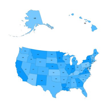
United States of America. 50 States. Vector illustration

Detailed map of the United States, including Alaska and Hawaii. United States with each state abbreviation clipart svg vector

Detailed map of the United States, including Alaska and Hawaii. United States with each state abbreviation

Usa map from dots isolated on the white background clipart svg vector

Usa map from dots isolated on the white background

Set of US states in the map of America on a white background clipart svg vector
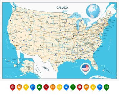
Set of US states in the map of America on a white background

Highly Detailed Map of United States. With cities, roads, lakes, rivers, states, Alaska and Hawaii. clipart svg vector

Highly Detailed Map of United States. With cities, roads, lakes, rivers, states, Alaska and Hawaii.

Highly detailed USA map isolated on white. Blue colors. Highly detailed editable political map. clipart svg vector

Highly detailed USA map isolated on white. Blue colors. Highly detailed editable political map.

United states of america map illustration isolated on white background clipart svg vector

United states of america map illustration isolated on white background

High detailed USA map with federal states. Vector illustration United states of America on black background. clipart svg vector

High detailed USA map with federal states. Vector illustration United states of America on black background.

Highway and Population Map clipart svg vector

Highway and Population Map

Political map of United States od America, USA. Simple flat black outline vector map with black state name labels on white background. clipart svg vector

Political map of United States od America, USA. Simple flat black outline vector map with black state name labels on white background.

Political map of United States od America, USA. Simple flat black outline vector map with black state name labels on white background. clipart svg vector

Political map of United States od America, USA. Simple flat black outline vector map with black state name labels on white background.

Hand drawn vector map of the United States of America. Sketch illustration with all 50 states clipart svg vector

Hand drawn vector map of the United States of America. Sketch illustration with all 50 states

Nice USA map isolated on the white background clipart svg vector
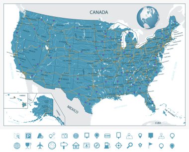
Nice USA map isolated on the white background

Highly Detailed Map of United States. With cities, roads, lakes, rivers, states, Alaska and Hawaii. clipart svg vector

Highly Detailed Map of United States. With cities, roads, lakes, rivers, states, Alaska and Hawaii.

USA maps collection large navigation set and World map clipart svg vector

USA maps collection large navigation set and World map

North Dakota State on USA Map. North Dakota flag and map. US States. clipart svg vector
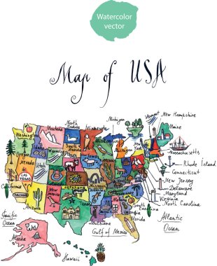
North Dakota State on USA Map. North Dakota flag and map. US States.

Map of attractions of United States of America, watercolor, hand drawn - vector Illustration clipart svg vector

Map of attractions of United States of America, watercolor, hand drawn - vector Illustration

Map of the United States cut paper vector illustration clipart svg vector

Map of the United States cut paper vector illustration

Vector map of the United States of America. Colorful sketch illustration with all 50 states clipart svg vector
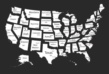
Vector map of the United States of America. Colorful sketch illustration with all 50 states

Usa states clipart svg vector

Usa states

USA 50 States with State Names and Capital vector eps10 clipart svg vector

USA 50 States with State Names and Capital vector eps10

Vector map of the United States of America. Colorful sketch illustration with all 50 states clipart svg vector
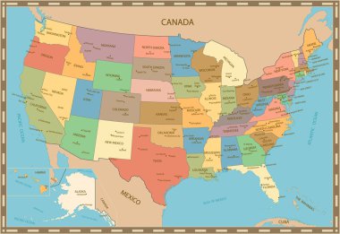
Vector map of the United States of America. Colorful sketch illustration with all 50 states

Highly detailed vintage color map of United States.Vector illustration. clipart svg vector

Highly detailed vintage color map of United States.Vector illustration.

Colorful USA map with name of states. Vector illustration clipart svg vector

Colorful USA map with name of states. Vector illustration

US State Maps with flag collection, nine USA map contour with flag of Oregon, Pennsylvania, Rhode Island, South Carolina, South Dakota, Tennessee, Texas, Utah, Vermont clipart svg vector

US State Maps with flag collection, nine USA map contour with flag of Oregon, Pennsylvania, Rhode Island, South Carolina, South Dakota, Tennessee, Texas, Utah, Vermont

Blank similar USA map isolated on white background. United States of America country. Vector template for website, design, cover, infographics. Graph illustration clipart svg vector

Blank similar USA map isolated on white background. United States of America country. Vector template for website, design, cover, infographics. Graph illustration

USA map with state names. olor map clipart svg vector

USA map with state names. olor map

USA Pictures with federal states map vector illustration EPS10. clipart svg vector
USA Pictures with federal states map vector illustration EPS10.

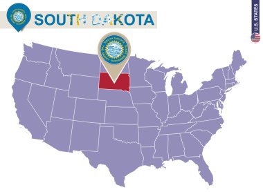
South Dakota State on USA Map. South Dakota flag and map. US States. clipart svg vector

South Dakota State on USA Map. South Dakota flag and map. US States.

Road map of the US American State of Minnesota clipart svg vector

Road map of the US American State of Minnesota

Map of the Tornado Alley area in the United States clipart svg vector

Map of the Tornado Alley area in the United States

Highly detailed map of the United States. All states are separate elements and layered in alphabetic order clipart svg vector

Highly detailed map of the United States. All states are separate elements and layered in alphabetic order

Antique Map of  United States of America - vector clipart svg vector

Antique Map of United States of America - vector

South Dakota road and highway map. Vector illustration. clipart svg vector

South Dakota road and highway map. Vector illustration.

Every state is in its own shape. clipart svg vector

Every state is in its own shape.

South Dakota network map. Abstract polygonal US state map design. Internet connections vector illustration. clipart svg vector

South Dakota network map. Abstract polygonal US state map design. Internet connections vector illustration.

US map with flags of states, on blue background clipart svg vector
US map with flags of states, on blue background

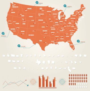
Infographic vector illustration with Map of United States of America clipart svg vector

Infographic vector illustration with Map of United States of America

Map of America. United States Political map. US blueprint with the titles of states and regions. All countries are named in the layer panel clipart svg vector

Map of America. United States Political map. US blueprint with the titles of states and regions. All countries are named in the layer panel

The detailed map of the USA including Alaska and Hawaii. The United States of America clipart svg vector

The detailed map of the USA including Alaska and Hawaii. The United States of America

Road map of the US American State of Montana clipart svg vector

Road map of the US American State of Montana