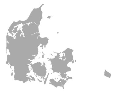
Map of Denmark
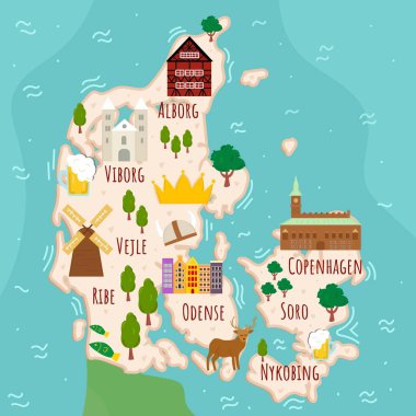
Stylized map of Denmark. Cartoon map with travel illustration. Famous landmarks, buildings, food and plants. Funny tourist infographics. National symbols. attractions. Vector illustration.

Denmark blank detailed outline map set

Denmark - highly detailed map. Vector illustration

Blank map of Denmark in gray. Map of administrative divisions of Denmark. High detailed vector map Kingdom of Denmark on transparent background for your web site design, logo, app, UI. EPS10.
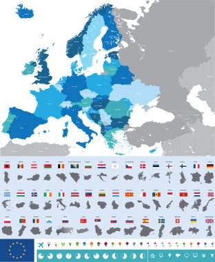
Vector high detailed map of Europe with flags

Denmark state, simply vector illustration
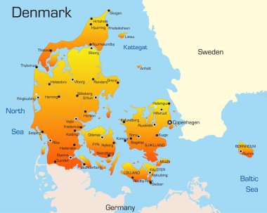
Denmark map
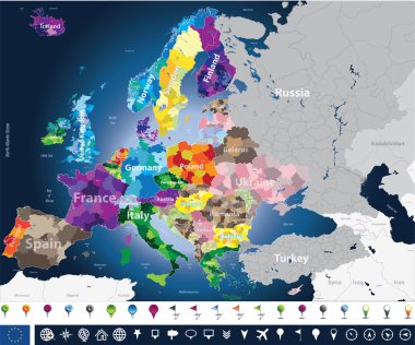
High detailed Europe map with coutries names and region borders
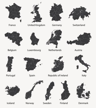
Vector set of european maps with region borders
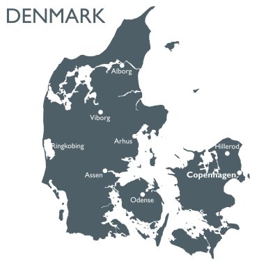
Monochrome vector Denmark map
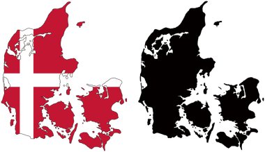
Layered editable vector illustration country map of Denmark,which contains two versions, colorful country flag version and black silhouette version.

Outline Sketch Map of Denmark With States and Cities

Detailed map of Europe

Map of administrative divisions of Denmark

Denmark map silhouette with country name and description, color vector detailed poster

Vector map of Denmark. High detailed country map with division, cities and capital Copenhagen. Political map, world map, infographic elements.
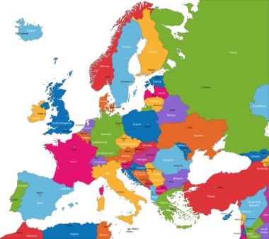
Colorful Europe map with countries and capital cities

Denmark vector map with infographic elements, pointer marks. Editable template with regions, cities and capital Copenhagen.

Denmark Map - Detailed Vector Illustration

Black Denmark map on light grey background. Black Denmark map - vector illustration.

Europe, map. Poster map of the Europe with country names. Print map of Europe for web and polygraphy on business, economic, political, geography themes. Vector Illustration

High quality colorful labeled map of Denmark with borders of the regions

Symbols of Denmark in vintage style. Retro sketch with traditional signs. Scandinavian culture, national entertainment in European country. Homes, drinks, mermaid and ship, animals and sea creatures

Vintage Amazing Denmark travel stamp with map outline. Denmark travel grunge round sticker.

Europe and European Union map with indication of Denmark

Pen hand drawn Europe map vector on paper illustration

Denmark vector map. Editable template with regions, cities, red pins and blue surface on white background.

Map of Denmark with highways

Denmark map with shapes of regions. Blank vector map of the Country with regions. Borders of the country for your infographic. Vector illustration.
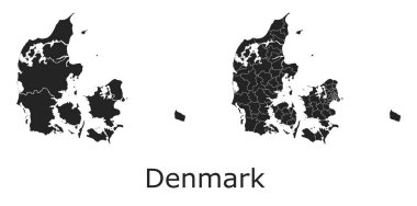
Denmark vector maps with administrative regions, municipalities, departments, borders

Scandinavia maps
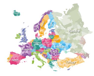
Colored political map of Europe with countries' regions. Vector illustration

Denmark vintage map and flag - vector illustration

Low Poly map of Denmark. Denmark geometric polygonal, mosaic style map.

Denmark map - high details vector illustration

Denmark map vector using black border lines on dark background

High detailed colored political map of Europe with countries' regions. Vector

Danish low poly regions. Polygonal map of Denmark with regions. Geometric maps for your design. Attractive vector illustration.

Vector European map combined with flags
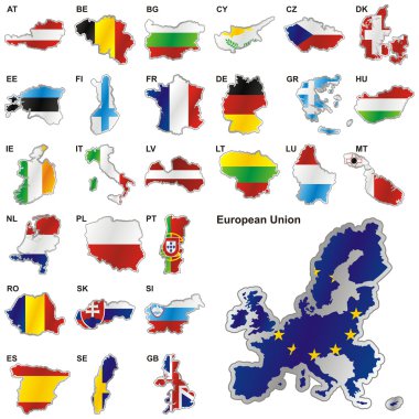
Fully editable vector illustration of all twenty-seven Member States of the European Union in map shape

Denmark map. Map of the country with beautiful geometric waves in red blue colors. Vivid Denmark shape. Vector illustration.

3d isometric Map of Denmark with national flag. Vector Illustration.
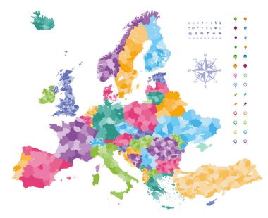
Europe map colored by countries with regions borders. Navigation, location and travel icons collection.

The set of national profile of the cartoon state of the world isolated on the background. Hand drawing decorative elements of the state and simple design of the country.

Vector map of Denmark with regions

Denmark, Greenland not for sale. Greenland flag. Country flags. vector icon or pictogram. Green land world map. Not for sale. America USA or VS want to buy it.
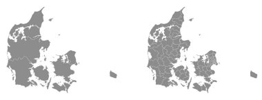
Two detailed vector maps of Danish administrative regions and areas in grey color

Europe Political Map

Colorful Europe map

Arctic Map - Vintage Detailed Vector Illustration

Europe map - highly detailed vector illustration.

Europe Physical Map. Detailed vector illustration of Europe Physical Map.
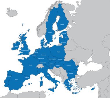
The 27 Member State of the European Union

Outline Europe map with countries

Scandinavia map in white background, scandinavia map vector, map vector
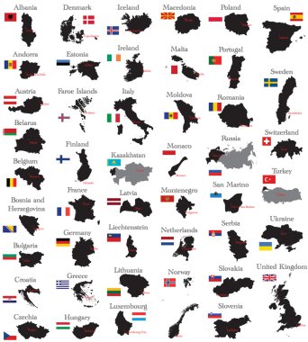
Countries of Europe
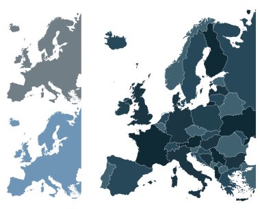
Set of Europe vector highly detailed maps

The European Union map and flags

Map of Europe - Highly Detailed Vector illustration
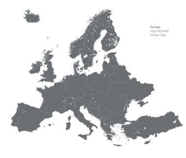
Vector high detailed map of Europe
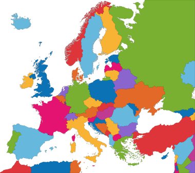
Colorful Europe map with country borders

European Union map

Europa-highly detailed map. Vector illustration
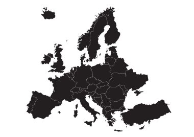
Vector map of Europe
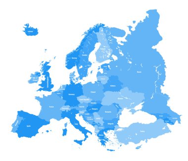
European political map. All layers detachable and labeled

The European Union highly detailed vector map
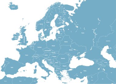
Europe high detailed political map. All elements detachable and labeled. Vector
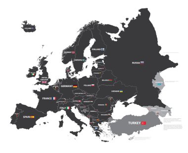
European map with country names and flags

Black Denmark map on light grey background. Black Denmark map - vector illustration.
Europe map cover vector
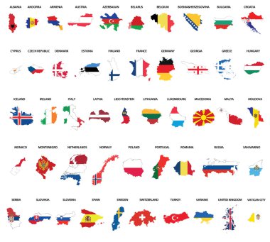
Europe country maps combinated vith flags

Denmark map flag glass water card paper 3D vector

World geographical and political map

Detailed World Map in colors of brown. All elements are separated in editable layers clearly labeled.
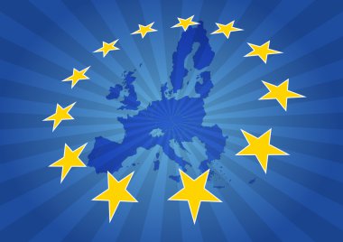
Illustration of europe map with yellow stars

Set of stamps and labels with the text made in Denmark written inside on retro background, vector illustration

Stylized map of Denmark. Isometric 3D green map with cities, borders, capital Copenhagen, regions. Vector illustration. Editable layers clearly labeled. English language

Vector high detailed political world map

Europe map combined with country flags. All elements separated in detachable layers. Vector

Vector set of Denmark country. Isometric 3d map, Denmark map, Europe map - with region, state names and city names.

Denmark outline map vector with administrative borders, regions, municipalities, departments in black white colors
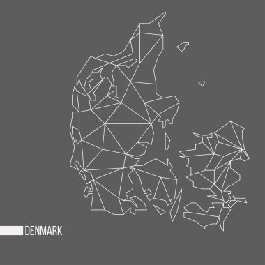
Abstract polygonal geometric Denmark minimalistic vector map isolated on grey background

Map of Europe colored by countries with regions borders. Flags of all european countries. Navigation, location and travel icons. All elements separated in labeled and detached layers. Vector

European Union map with stars of the European Union

Denmark - highly detailed map. Vector illustration

Europe map colored by countries with regions borders. Navigation, location and travel icons collection. All elements separated in labeled and detachable layers. Vector

Black map of Denmark

Europe map isolated on white background. Vector illustration. Eps 10.

Denmark map and flag - vector illustration

Vector illustration of a green scandinavia map

Map of administrative divisions of Denmark

Highly Detailed Europe Map Silhouette.

Symbols of Denmark in vintage style. Retro sketch with traditional signs. Scandinavian culture, national entertainment in European country. Homes, drinks, mermaid and ship, animals and sea creatures

Denmark-highly detailed map. Vector illustration

Illustration of Europe city and communication lights map

Baltic Sea Area Map - Detailed Vector Illustration

Denmark map and flag - vector illustration

Europe hand drawn flat map. Vector illustration.

Europe hand drawn flat map. Vector illustration.