Description:
This Verona map vector SVG provides a detailed representation of the city's layout, showcasing streets, landmarks, and key areas of interest. The design is created in a scalable vector format, ensuring it retains quality across all sizes. It features a clean layout with clear lines, making it suitable for various applications. The visual style can adapt to outline or filled formats based on user preference. As a digital asset, it is versatile for both print and on-screen use. The map is designed to assist with navigation and exploration.
Usage ideas:
This Verona map can be effectively utilized in travel guides, educational materials, or city planning presentations. Businesses in tourism can incorporate the map into brochures or websites, helping potential visitors understand key locations and attractions. Schools can use it to teach students about the geographical and historical significance of Verona. Additionally, real estate agencies may find this map beneficial for illustrating property locations within the city. It is also valuable for digital applications such as mobile city guides or interactive web maps.

Verona province (Italy, Italian Republic, Veneto or Venetia region) map vector illustration, scribble sketch Province of Verona map
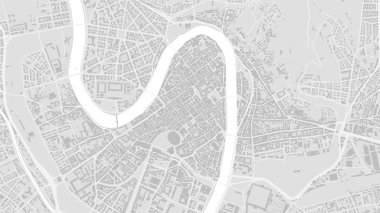
White and light grey Verona City area vector background map, streets and water cartography illustration. Widescreen proportion, digital flat design streetmap.

Verona Italy City Map in Retro Style. Outline Map. Vector Illustration.

Verona (Virginia) blank outline map
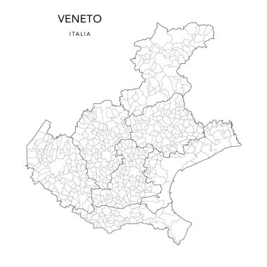
Vector Map of the Geopolitical Subdivisions of the Region of the Veneto or Venetia with Provinces and Municipalities (Comuni) as of 2022 - Italy

Editable colorful vector map of Italy. Vector map of Italy isolated on background. High detailed. Autonomous communities of Italy. Administrative divisions of Italy, separated provinces. outline map.
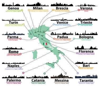
Italy map with largest italian cities skylines silhouettes vector set
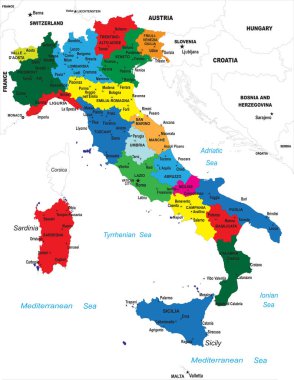
Highly detailed map of Italy with all different regions selectable individual.

Italian map with main cities skylines. Vector illustration

Veneto administrative and political map with flag

Italy vector cities skylines

Word cloud in a shape of Italy contains large cities. White text on black background, vector illustration

Vector illustration of Italy map with main italian cities skylines

Colorful map of Italy vector silhouette illustration isolated on white background. Autonomous communities of Italy. Detailed Italian regions administrative divisions, separated provinces. outline map.

Italy in heart and words cloud with larger cities

Satellite map of Verona, Veneto, Italy, city streets. Street map, city center.

Grunge rubber stamp set with names of Italy cities, vector illustration

3d map of cities and roads in Europe. Countries and their neighbors.

Italian cities skylines isolated high detailed icons in tints of blue color palette. Vector illustration

Italy vector map with city names
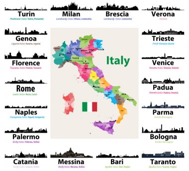
Map of Italy with largest italian cities skylines silhouettes

Italy, Verona flat landmarks vector illustration. Italy, Verona line city with famous travel sights, design skyline.
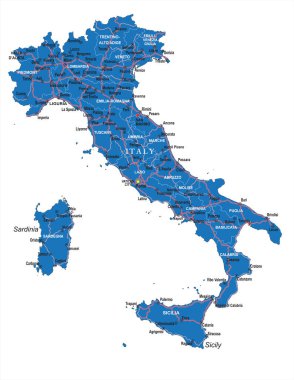
Highly detailed political road map of Italy .

Italy vector map with city names

Grunge rubber stamp set with names of Italian cities (part two), vector illustration

Welcome to Verona, City of love grunge rubber stamp on white, vector illustration
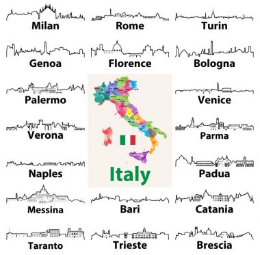
Vector outline icons of Italian cities skylines with map and flag of Italy

Verona silhouette skyline. Italy - Verona vector city, italian linear architecture, buildings. Verona line travel illustration, landmarks. Italy flat icon, italian outline design banner

Castle building on the hill Hand drawn sketch vector illustration.Graphic drawing.Italy.Verona.

Veneto official regional flag and map, Italy, vector illustration

Map of Italy for your design, concept Illustration.

The Veneto region map divided in provinces with labels, Italy

Veneto regional coat of arms and map, Italy, vector illustration

Vector outline icons of Italy cities skylines