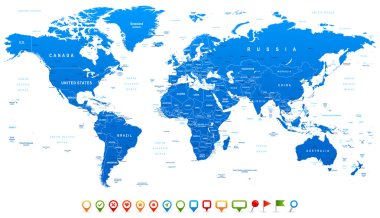
Highly detailed world map: countries, cities, water objects
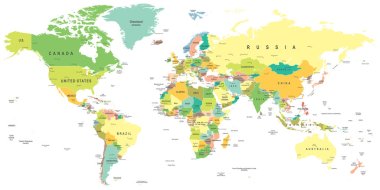
World map - highly detailed vector illustration.

World map in grey color on white background. High detail blank political map. Vector illustration with labeled compound path of each country.
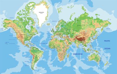
Highly detailed World map with labeling. Vector illustration.
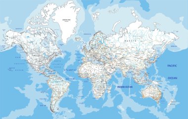
Highly detailed World road map with labeling. Vector illustration.

World Map Color Political - Vector Detailed Illustration
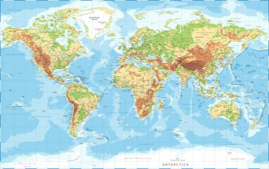
World Map Physical Topographic - Vector Detailed Illustration

Colorful World political map with clearly labeled, separated layers. Vector illustration.
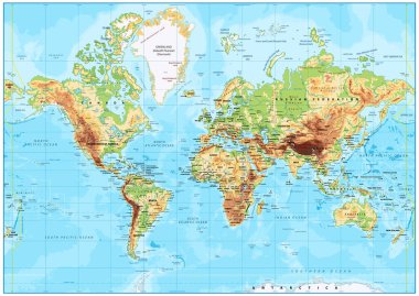
Detailed Physical World Map with labeling. Vector illustration.

Layered editable vector illustration outline of Manchester,Brita

World Map vector. Gray similar world map blank vector on transparent background. Gray similar world map with borders of all countries and States of USA map, States of Australia and Countries of the UK. Quality world map.

Vintage color political World Map.All elements are separated in editable layers clearly labeled.
Light gray detailed world map on white background

Detailed Vintage Cartoon World Map - vector illustration
World map on white background

Vector illustration of navigation concept with detailed blue compass and city map
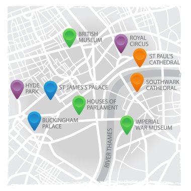
Vector eps10 illustration of London's map with pins and places

Blue World map with color points

North American country set with map pointers

Cambodia Detailed Map With Regions

Africa map - highly detailed vector illustration.

Uzbekistan map with location pointer marks. Infographic vector template, isolated on white background.

Colored political world map with black labels of sovereign countries and larger dependent territories. Simplified map. South Sudan included
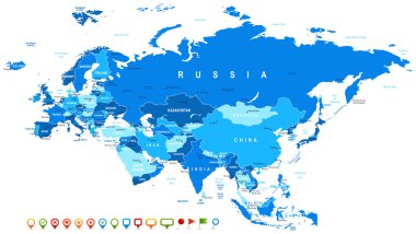
Eurasia map - highly detailed vector illustration. Image contains land contours, country and land names, city names, water object names, navigation icons.

Doodle Map of Poland With States

The detailed map of China with regions or states and cities, capitals. With map pins or pointers. Place location markers or signs

The Sao Paulo State microregions map with labels

USA map with Alaska and Hawaii map, new political detailed map, separate individual states, with state names, isolated on white background 3D vector

Hand Drawn Latin America Map Illustration

Prayagraj District Highlighted in Uttar Pradesh State Map of India

Brazil map and flag - highly detailed vector illustration

Israel map with location pointer marks. Infographic vector template, isolated on white background.

Mexico Divided Map With States
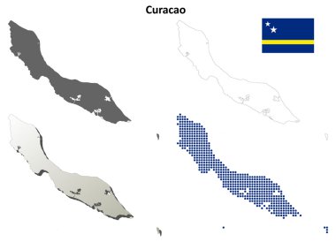
Curacao blank detailed outline map set - vector version

Outline Sketch Map of Mexico With States and Cities

Ukraine is a sovereign state in Eastern Europe.

Doodle Map of Vanuatu With States

Doodle Map of Europe With Countries

Hand Drawn Africa Map Illustration

Canada blank detailed outline map set - vector version

Turkey blank detailed outline map set
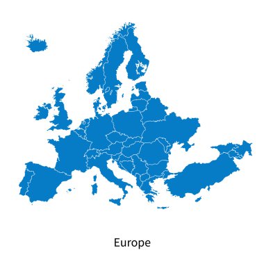
Detailed vector map of Europe Political map with borders
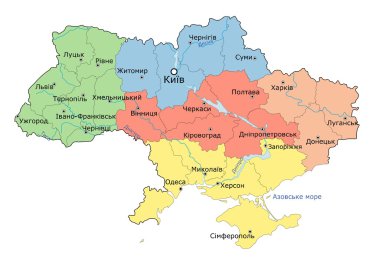
Regional map of Ukraine. Vector

Vintage World Map and Markers - Detailed Vector Illustration

Asia - Highly detailed editable political map with separated layers.

Guatemala blank detailed outline map set - vector version
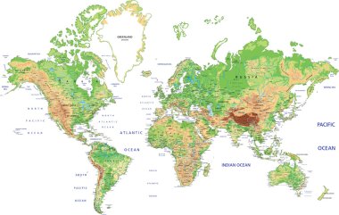
Highly detailed World map with labeling. Vector illustration.

Detailed vector map poster of Dnipro city administrative area. Blue skyline panorama. Decorative graphic tourist map of Dnipro territory. Royalty free vector illustration.

Northern Ireland blank detailed outline map set

Japan blank detailed outline map set

Detailed Map of Brazil With States and Cities
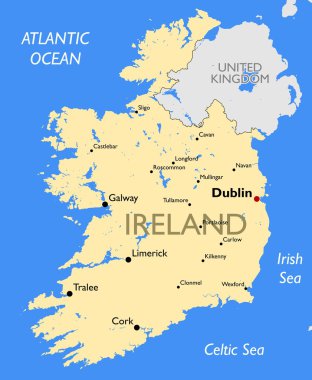
Vector detailed color Ireland map

Africa map - highly detailed vector illustration.

Kannauj District Highlighted in Uttar Pradesh State Map of India

Colorful map of countries of United Kingdom with indication of capital cities

Europe detailed map. Vector illustration

Map of California State and Colored Map Icons - Highly Detailed Map of California State vector illustration - All elements are separated in editable layers clearly labeled.

Vector Great Britain Pictogram isolated on white background

Indonesia Detailed Map With Regions

Political World Map Pacific Centered - vector

Doodle Map of Italy With States
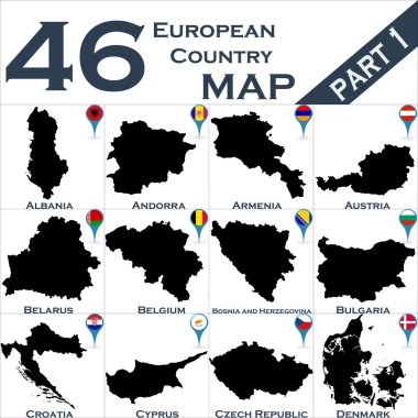
European country set with map pointers
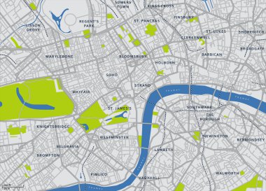
Central London Vector Map
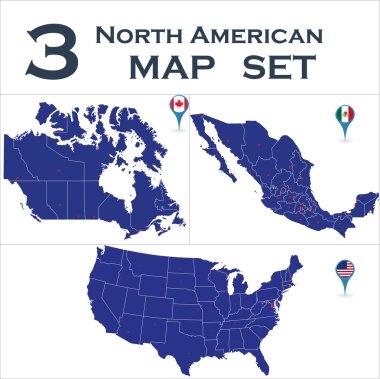
North American country set with map pointers

Vietnam blank detailed outline map set

Doodle Map of the World Detailed Map
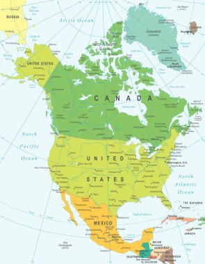
North America map - highly detailed vector illustration.

Wroclaw map. Detailed vector map of Wroclaw city administrative area. Dark poster with streets on white background.

Vector detailed map Berlin

Caribbean islands Central America map, new political detailed map, separate individual states, with state names, isolated on white background 3D vector

Vector map of south east asian countries mixed with their national flags

Pakistan map with location pointer marks. Infographic vector template, isolated on white background.

Map of the Antilles island in the French overseas territories of Saint-Barthelemy

Shravasti District Highlighted in Uttar Pradesh State Map of India

Political world map on ocean blue background, with every state labeled and selectable (labeled in Layers panel also). Versatile file, turn on an off visibility and color of each country in one click.

Hawaii blank outline map set

Toronto map. Detailed map of Toronto city administrative area. Airview cityscape panorama. Royalty free vector illustration.

Highway and Population Map
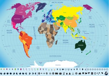
High detailed world map

Argentina blank detailed outline map set

Detailed Map of United States With States and Cities

Italy Road Map and Colored Map Pointers - Highly Detailed Vector Illustration of Italy Map - Image contains layers with map outline, land names, city names, water objects and it's names, highways and roads.

Amsterdam city plan, detailed vector map detailed plan of the city, rivers and streets
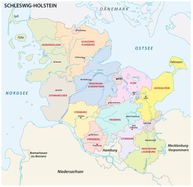
Schleswig-Holstein administrative and political map in german language

Kazakhstan blank detailed outline map set
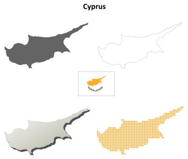
Cyprus blank detailed outline map set

French Guiana blank detailed outline map set - vector version
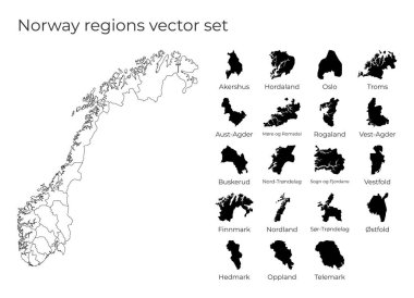
Norway map with shapes of regions. Blank vector map of the Country with regions. Borders of the country for your infographic. Vector illustration.

Italy Detailed Map With States

Central America map - highly detailed vector illustration. Image contains land contours, country and land names, city names, water object names, navigation icons.
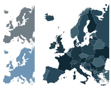
Set of Europe vector highly detailed maps

Cameroon map with location pointer marks. Infographic vector template, isolated on white background.
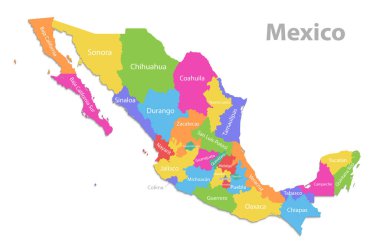
Mexico map, new political detailed map, separate individual states, with state names, isolated on white background 3D vector

Abstract New Zealand Silhouette Detailed Map

Poland Physical Map Isolated On White. Highly detailed map vector illustration. Image contains layers with shaded contours, land names, city names, water objects and it's names, highways.

Syria blank detailed outline map set

Detailed Map of Romania With States and Cities

Netherlands Detailed Map With States

Road and administrative vector map of Botswana

New Zealand blank detailed outline map set