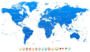
Highly detailed world map: countries, cities, water objects
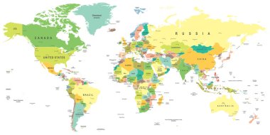
World map - highly detailed vector illustration.
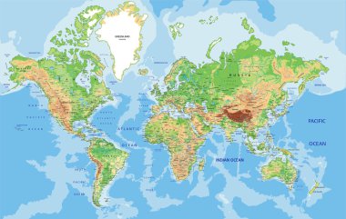
Highly detailed World map with labeling. Vector illustration.
Light gray detailed world map on white background
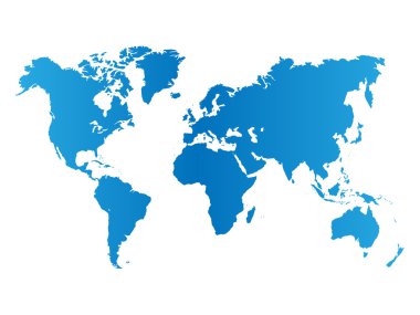
World map on white background
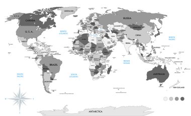
Political world map on white background, with every state labeled and selectable (labeled in Layers panel also). Versatile file, turn on an off visibility and color of each country in one click.

Highly detailed World Map with vintage color.
World map background with pionts
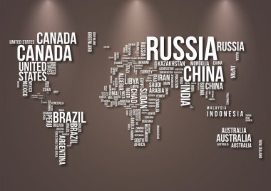
Detailed World Map with all Names of Countries

World Map Vintage Political - Vector Illustration
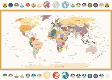
Political World Map with flat icons and globes.Vintage colors.Highly detailed political World Map with flat icons and globes.All elements are separated in editable layers clearly labeled.

Physical World Map Retro Colors with labeling. Vector illustration.

Blue World map with color points
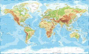
World Map Physical Topographic - Vector Detailed Illustration

World Map and Flags - borders, countries and cities - vintage vector illustration

World map in grey color on white background. High detail blank political map. Vector illustration with labeled compound path of each country.

World Map vector. Gray similar world map blank vector on transparent background. Gray similar world map with borders of all countries and States of USA map, States of Australia and Countries of the UK. Quality world map.
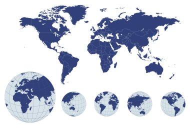
World map with earth globes, editable vector.

Grey world map vector illustration flat design
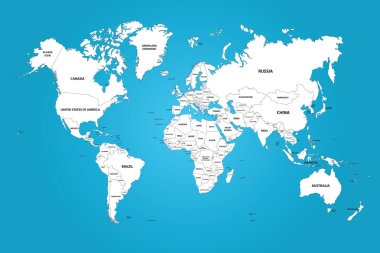
The world map with the frontiers and country names. The vector image has the grouped layers for each country. All of the countries groups ordered by the alphabet.

Political world map isolated on white background, vector illustration.

Highly detailed World map. Vector illustration.

Grey vector world map with borders of all countries

Highly detailed world map: countries, cities, water objects.

Political world map implement in the tints of blue
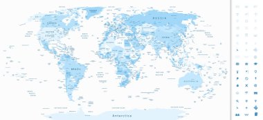
Highly detailed World Map in shades of soft blue colors and navigation icons.

Blue world map on a white background

World map design vector on transparent background

Vintage World Map - Detailed Vector Illustration

Highly detailed political world map with capitals, rivers, separated layers. Vector illustration.
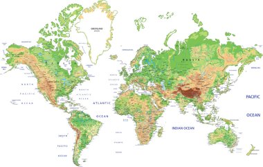
Highly detailed World map with labeling. Vector illustration.
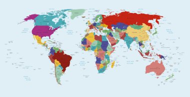
Vector political map of the world

World map with colored countries
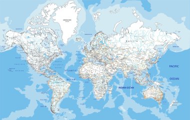
Highly detailed World road map with labeling. Vector illustration.

Political map of the world with all continents separated by color

Highly detailed Political World Map with navigation icons.All elements are separated in editable layers clearly labeled.
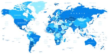
Highly detailed vector illustration of world map.

High detailed world map. Vector eps8. Separate layers

World map concept
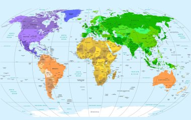
Detailed Vector World Map

Detailed World Map in colors of brown and glossy pin icons. All elements are separated in editable layers clearly labeled.

Abstract polygonal world map with hot points, network connections

Map of World. Mercator projection. High detailed political map of countries and dependent territories. Simple flat vector illustration
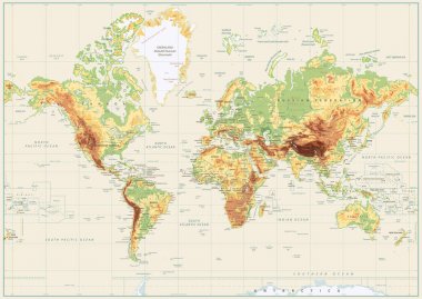
Detailed Physical World Map Isolated on Retro White Color. Vector illustration.
World map background with pionts

Colorful World political map with clearly labeled, separated layers. Vector illustration.

Highly detailed political world map with a 3D globes and navigation icons
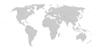
Detailed gray world map on white. Vector illustration.

World map on white background
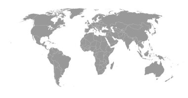
Detailed gray world map. Vector illustration.

Detailed Vintage Cartoon World Map - vector illustration

World map background with pionts

Colorful map of World. High detail political map with country names. Vector illustration.

World Map and Flags - borders, countries and cities - vintage vector illustration

World Map and Flags - borders, countries and cities - vintage vector illustration

World map on white background. World map template with continents, North and South America, Europe and Asia, Africa and Australia. Vector illustration

World maps with different specification. 1 - highly detailed: countries, cities, water objects 2 - country contours 3 - world contours

World Map and Flags - borders, countries and cities -vector illustration
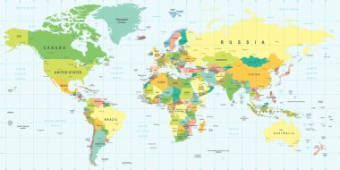
World Map - highly detailed vector illustration.

Blue World map with color points

Highly detailed map of the world with countries, big cities and other labels,updated with South Sudan,Kosovo and North Macedonia

Vector world map. Colorful world map with countries borders. Detailed map for business, travel, medicine and education

Vintage World Map - Detailed Vector Illustration

World map continents in colors of blue and glossy globes with map pointers

World map. 3D globe world map. Vector Illustration
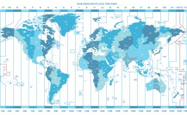
Soft tints of blue worldwide map of local time zones

Detailed World map blue colors isolated on white. Vector illustration.

World map. 3D globe world map. Vector Illustration

World Map and Flags - borders, countries and cities -vector illustration
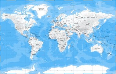
World Map Physical White - vector illustration

World map background with points

Vector illustration of a detailed Political World map with all Country names

Highly detailed political World map with labeling. Vector illustration.

Higly detailed World Map of blue color with a square 3D pin icons.

Highly detailed world map: countries, cities, water objects

Vintage World Map - Detailed Vector Illustration

Black World Map and map pointers collection. Names, town marks and national borders are in separate layers.

A detailed blue world map vector illustration on a clean white background. Perfect for educational, business, or design use.

Vintage World Map - Detailed Vector Illustration

Large detailed World Map and continents in colors of blue. Highly detailed vector illustration of World Map.

Detailed world map with counties and borders. Each country in a separate layer
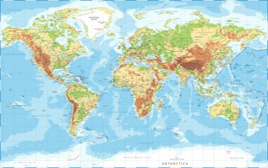
World Map Physical Topographic - Vector Detailed Illustration

Blue circles world map background

Highly detailed world map: countries, cities, water objects.

World map illustration. Gray silhouette isolated on white background

Political map of world with in grey. EPS10 vector illustration.

Vintage World Map - Detailed Vector Illustration

Dark grayscale vector illustration.

Danger warning terrorism background

Vector illustration. Detailed world map in blue tones with dust texture.

Blue world map with labeling

Detailed World Map with Names of Continents and Countries, vector isolated by group

Highly detailed world map. Vector illustration, template
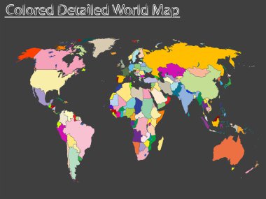
Colored detailed world map, abstract vector art illustration

Gray world map, with all country borders in dark grey color

World map. Vector illustration

Orange detailed world map with Earth globes

Orange detailed world map with Earth globes

Infographic vector illustration with Map of the World - political map

World map in four shades of grey on white background. High detail blank political map. Vector illustration with labeled compound path of each country.