3d isometric map of East Java is a province of Indonesia, vector illustration

East Java blank outline map set

South East Asia political map. Black outline on white background. Simple flat vector illustration.

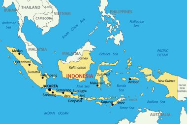
Republic of Indonesia - vector map

South East Asia political map. Black outline on white background with black country name labels. Simple flat vector illustration.

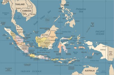
Indonesia Map - Vintage Detailed Vector Illustration

Indonesia country vector color map

Indonesia Map - Vintage Detailed Vector Illustration

Indonesia Map - Detailed Info Graphic Vector Illustration

Indonesia Map - Detailed Vector Illustration

Indonesia Map - Vintage Detailed Vector Illustration

Map of the Lesser Sunda Islands in the Malay Archipelago

Indonesia Map - Vintage Detailed Vector Illustration

Administrative and political vector map of Indonesia's districts on the island Borneo/ Kalimantan

Vector road map of island Borneo, Kalimantan

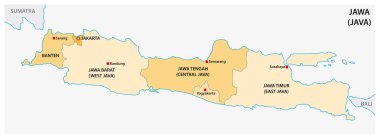
Simple administrative and political vector map of indonesian island java

Vector road map of Iseland Borneo / Kalimantan

Isolated polygon illustration of Indonesia, geography, infographics, travel, and location-based design projects.

Indonesia Map - Vintage Detailed Vector Illustration

Abstract background illustration featuring a subtle map of Indonesia, combined with the colors of the Indonesian flag in a modern and elegant style. Perfect for presentations, posters, or design projects with a national theme.