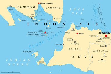
Sunda Strait, Indonesia, political map. Strait between the Indonesian islands Java and Sumatra, connecting Java Sea with the Indian Ocean. With Krakatau Archipelago and active volcano Anak Krakatau.
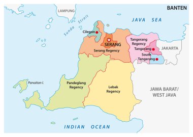
Banten administrative and political vector map, Indonesia
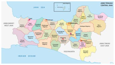
Jawa Tengah, Central Java administrative and political vector map, Indonesia

Silhouette map of the island of kalimantan in indonesia
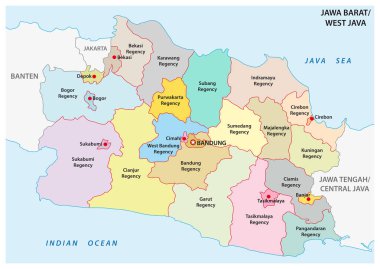
Jawa Barat, West Java administrative and political vector map, Indonesia
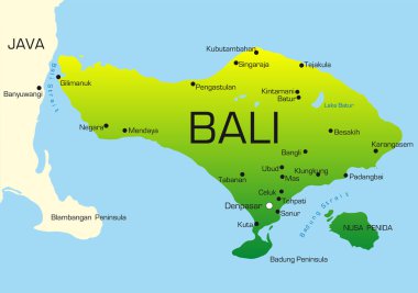
Vector map of Bali country colored by national flag

South East Asia political map. Black outline on white background. Simple flat vector illustration.

South East Asia political map. Black outline on white background with black country name labels. Simple flat vector illustration.
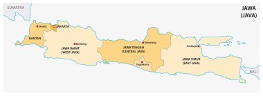
Simple administrative and political vector map of indonesian island java

Map of attractions of Indonesia, watercolor hand drawn, vector illustration

Indonesia Map for App, Art Illustration, Website, Pictogram, Infographic or Graphic Design Element. Vector Illustration

Map of Bali country

Jawa Barat, Jawa Tengah, Jawa Timur, Kalimantan Barat outline maps