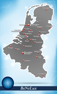
Map of Benelux with abstract background in blue

A large and detailed map of the Netherlands with all counties and main cities.

Map of Netherlands as an overview map in pastel green

Urban vector city map of Enschede, The Netherlands

Map of Netherlands with highways in pastel green

Map of Netherlands with borders in blue

Map of Netherlands with highways

Map of Netherlands with borders in green

Map of Netherlands as an overview map in green

Map of Netherlands with borders in violet

Map of Benelux with borders in chrome

Map of Netherlands with highways in pastel orange

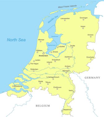
Political map of Netherlands with national borders, cities and rivers

Highly detailed vector map of Netherlands with administrative regions,main cities and roads.

Map of Netherlands with highways in pastel orange

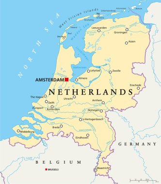
Netherlands Political Map with capital Amsterdam, national borders, most important cities, rivers and lakes. English labeling and scaling. Illustration.

Map of Netherlands as an overview map in green

Holland map and words cloud with larger cities

Map of Netherlands as an overview map in gray

Urban vector city map of Enschede, The Netherlands

Location of Overijssel on map Netherlands. 3d location sign similar to the flag of Overijssel. Quality map with provinces of Netherlands for your design. EPS10.

Map of Netherlands with borders in violet

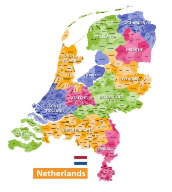
Netherlands high detailed local municipalities map colored by provinces. All elements are separated in detachable and labeled layers. Vector

Map of Netherlands with highways in pastel green

Urban vector city map of Enschede, The Netherlands

Map of Benelux with abstract background in violet

Map of Netherlands with highways