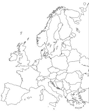
Europe vector map - Outline Contour Vector map
An Outline on clean background of the continent of Europe
Europe map illustration. Vector design.
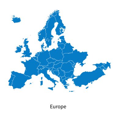
Detailed vector map of Europe Political map with borders
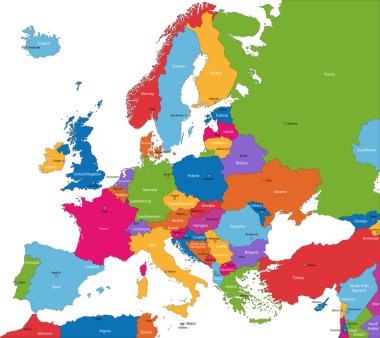
Colorful Europe map with countries and capital cities

Europe map blue white card paper 3D vector infographics
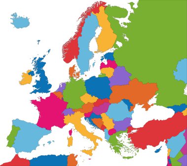
Colorful Europe map with country borders
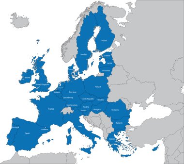
The 27 Member State of the European Union

Blue europe map on a white background in flat
Vector Europe map card paper 3D natural
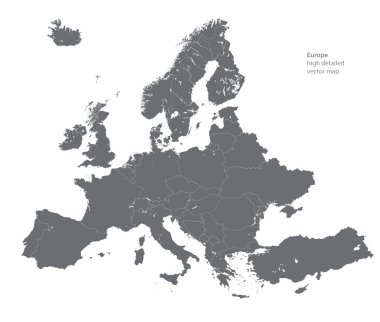
Vector high detailed map of Europe

Famous landmarks in Europe. Outline Vector illustration. Business travel and tourism concept with place for text. Image for presentation, banner, placard and web site

Blank outline map of Europe. Simplified wireframe map of black lined borders. EPS10 vector illustration.

Flag Map of Europe . Europe Flag Map
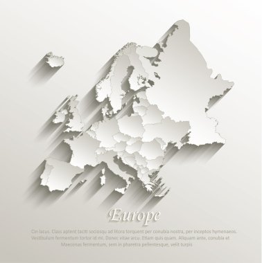
Europe political map card paper 3D natural vector individual states separate

Outline Famous Landmarks in Europe. Vector Illustration. Business Travel and Tourism Concept. Image for Presentation, Banner, Placard and Web Site

Europe map on a white background. Vector illustration.

Europe map. Europe map isolated on white background. High detailed. Europe map with separated countries. Infographic template. Vector illustration

Map of administrative divisions of Principality of Andorra

Outline Europe map with countries

Europe with parts of Asia, detailed map, individual states and islands and sea with names, white blue card paper 3D vector

Vintage distressed style European vacation stamp.

Map of Spain vector

Circle icon colosseum. vector illustration
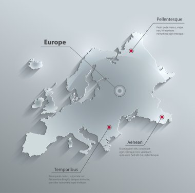
Vector Europe map glass card paper 3D

European Union countries. Political map with borders. All 28 EU members colored in blue. Political and economic union in Europe. Isolated illustration on white background. Vector.

Map of europe. map concept

France Icons Set.France Illustration.France Flat Symbols.Paris Design Set. Paris Elements Collection

Map of administrative divisions of Republic of Belarus

Map of administrative divisions of Ireland

Poland map outline vector with administrative borders, regions, municipalities, departments in black white colors. Infographic design template map.

Map of administrative divisions of Republic of Estonia

Map of Europe with names of sovereign countries, ministates and Kosovo included. Simplified vector map in four colors theme on white background.

Symbols of the country. isolated vector illustration.
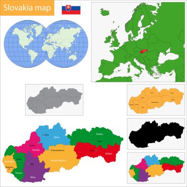
Administrative division of the Slovak Republic

Administrative division of the Portuguese Republic

Colorful Belgium map with provinces and main cities

Administrative division of the Kingdom of Norway

Administrative division of the Kingdom of Sweden

Colorful Austria map with states and main cities

Administrative division of the Kingdom of Spain
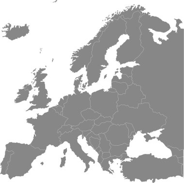
Europe vector political map

Simple Set of Landmarks Related Vector Line Icons. Contains such Icons as Christ the Redeemer, Statue of Liberty, Kremlin and more. Editable Stroke. 48x48 Pixel Perfect.

Detailed vector map of Europe

Simple all european union countries in one outline map eps10
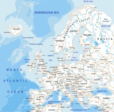
High detailed Europe road map with labeling.

Europe - Highly detailed editable political map with separated layers.

Detailed vector map of Europe

Detailed illustrations of different european cities

European landmarks and transports. Vector illustration with travel elements. Landmarks of european countries France, Germany, GB, Italy, Spain, Greece, Portugal, Czech

Vector Europe Map card paper on blue background, high detailed
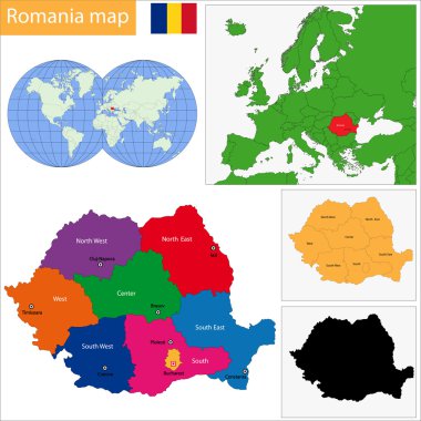
Administrative division of the Romania
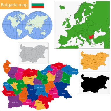
Map of administrative divisions of Bulgaria

Administrative divisions of Ukraine

Map of World. Detailed thin black outline political map with country names. Vector map.

Blank outline map of World. Worksheet for geography teachers usable as geographical test in school lessons.

Satellite map of province of Cremona, towns and roads, buildings and connecting roads of surrounding areas. Lombardy, Italy. Map roads, ring roads

Map of World. Detailed thin black outline political map with country, sea and ocean names. Vector map.

Simplified schematic map of World. Political map of countries with name labels. Generalized and smoothed borders. Simple flat thin black outline vector illustration

World map - Asia, Australia and Pacific Ocean centered. High detailed political map of World with country, capital, ocean and sea names labeling.

Black outline map of World. Simple vector illustration.

Satellite map of Province of Campobasso towns and roads, buildings and connecting roads of surrounding areas. Molise region, Italy. Map roads, ring roads
Contour map of the world.

Political map of World with capital cities of countries. Handdrawn style. Vector illustration.

Vector political map of world. Black outline on white background with country name labels.

Simplified schematic map of World. Political blank map of countries. Generalized and smoothed borders. Simple flat thin black outline vector illustration

Berlin Germany Vector Map Monochrome Artprint, Outline Version for Infographic Background, Black Streets and Waterways

Blank map of World with thin black smooth country borders on white background. Simplified flat vector illustation.

World map outline - vector illustration of earth map on white background

Worldwide outline map vector design

Outline map of World. Simple flat vector illustration.

Black outline of Denmark map- vector illustration

Blank outline map of Europe. Simplified vector map made of black outline on white background.

Satellite map of Milan and surrounding areas. Lombardy, Italy. Map roads, ring roads and highways, rivers, railway lines
Vector illustration of world map, white color with black outline, isolated

High quality Outlined vector map of the world with only straight lines

Outline map of the world in gray on a white background.

Map of World. Detailed thin black outline political map with country names. Vector map.

World map outline - vector illustration of earth map on white background

World map with country borders, thin black outline on white background
Black CMYK national map of MALTA inside detailed gray blank political map of European continent on transparent background using Mercator projection

Vector political map of world. Black outline on white background with country name labels.
Drawing of map on squared paper
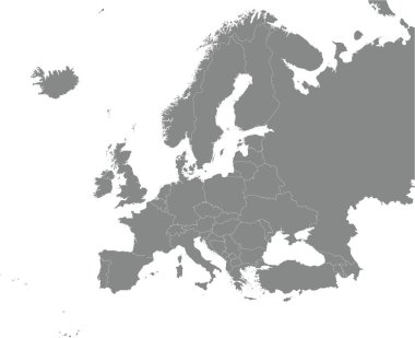
Black CMYK national map of ANDORRA inside detailed gray blank political map of European continent on transparent background using Mercator projection

Bucharest colored vector map

Satellite map of Verona, Veneto, Italy, city streets. Street map, city center.

World map with country borders, thin black outline on white background. Simple high detail line vector wireframe.

World map with smoothed country borders. Thin black outline on white background

Map of Russia - Vector Outline Illustration

Simple contour map of Germany. Black outline vector map isolated on white background.

World Map Outline Contour Silhouette - Asia in Center

Black abstract map of Germany

Grey Map of Municipalities of Sweden

Blank map of Spain. Provinces of Spain map. High detailed gray vector map Kingdom of Spain on transparent background for your web site design, logo, app, UI. Stock vector. EPS10.
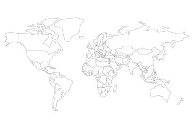
Political map of World. Blank map for school quiz. Simplified black thin outline on white background.

Blank outline map of Europe with Caucasian region. Simplified wireframe map of black lined borders. Vector illustration.

Madrid colored vector map

High detailed outline of world map with Antarctica. Simple thin black vector stroke on white background.

World Map Outline Illustration

Map of Ukraine - simple hand drawn sketch style black line outline contour map. Vector illustration isolated on white. Ukrainian border silhouette drawing