
Germany map outline - smooth country shape map vector.
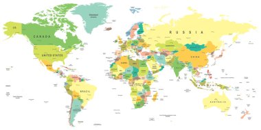
World map - highly detailed vector illustration.
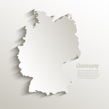
Germany map card paper 3D natural vector

Grey map of Germany
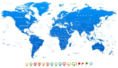
Highly detailed world map: countries, cities, water objects

Brush flag germany vector transparent background file format eps, germany flag brush stroke watercolour design template element, national flag of germany

Highly detailed vector map of Germany with administrative regions,main cities and roads.

Germany vector map illustration

Energy industry and ecology of Germany vector map with power stations infographic.
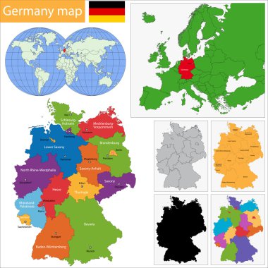
Germany map with regions and main cities
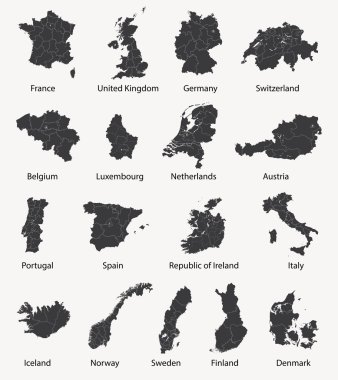
Vector set of european maps with region borders

Map of Germany Vector Illustration
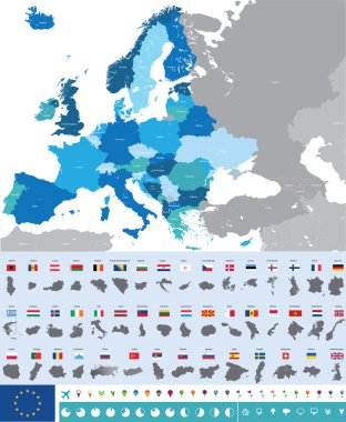
Vector high detailed map of Europe with flags
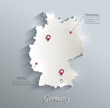
Germany map blue white card paper 3D vector

Germany map glass card paper 3D vector

An high quality world map in tones of grey with a cool flat shaded Shadow.

Vector line art Doodle set of cartoon characters and objects on Germany.

World maps with different specification. 1 - highly detailed: countries, cities, water objects 2 - country contours 3 - world contours
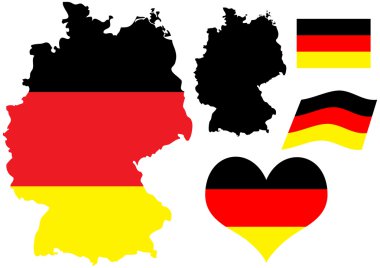
Vector illustration of Germany map with flag and heart in national colors
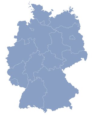
Vector map of Germany each division can be edited

Highly detailed world map: countries, cities, water objects.

Vintage World Map - Detailed Vector Illustration

Berlin map. Detailed vector map of Berlin city administrative area. Poster with streets and water on white background.
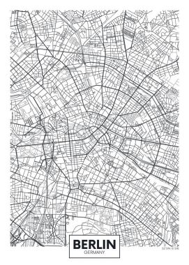
Detailed vector poster city map Berlin
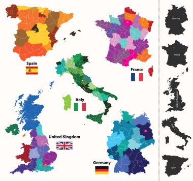
European regions map
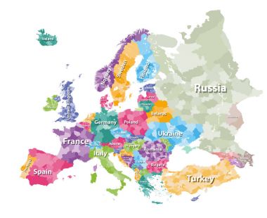
Colored political map of Europe with countries' regions. Vector illustration

Simple contour map of Germany. Black outline vector map isolated on white background.

High detailed colored political map of Europe with countries' regions. Vector

Three detailed vector maps of German states, governmental districts and municipalities in white color
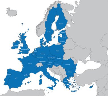
The 27 Member State of the European Union

High detailed Netherlands physical map with labeling.
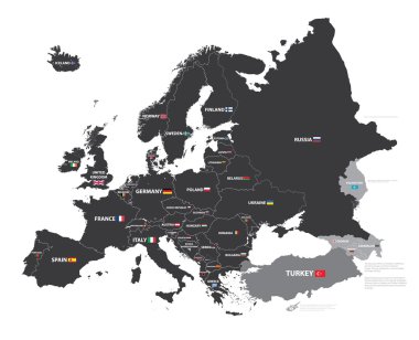
European map with country names and flags
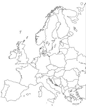
Europe vector map - Outline Contour Vector map
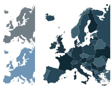
Set of Europe vector highly detailed maps
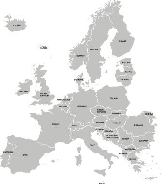
Nice europe map isolated on white background
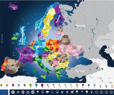
High detailed Europe map with coutries names and region borders

France map

Berchtesgadener Land (Bayern) blank outline map set
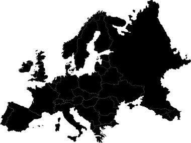
Abstract europe vector map on white
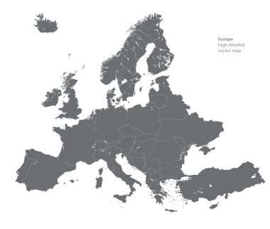
Vector high detailed map of Europe
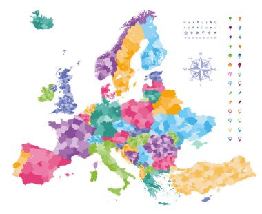
Europe map colored by countries with regions borders. Navigation, location and travel icons collection.

Black abstract map of Germany

Europe with parts of Asia classic color detailed map, individual states and islands and sea with names vector

Munich, Germany printable street map in classic style colors with all relevant motorways, roads and railways. Use this map for any kind of digital info graphics and print publication.

Germany vector map with infographic elements, pointer marks. Editable template with regions, cities and capital Berlin.
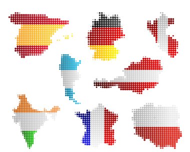
Maps and flags

Europa-highly detailed map. Vector illustration

Germany map divided on West and East Germany with regions, card paper 3D natural vector
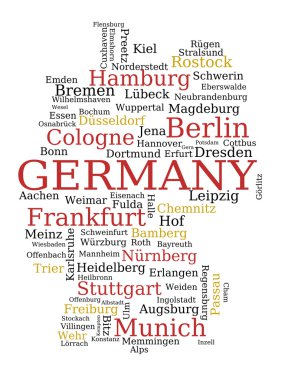
Germany - outline map made of city names. German concept.
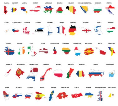
Europe country maps combinated vith flags

Berlin city plan, detailed vector map

Munich map. Detailed vector map of Munich city administrative area. Poster with streets and water on grey background.

Vector detailed map Berlin
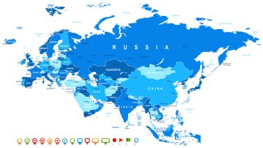
Eurasia map - highly detailed vector illustration. Image contains land contours, country and land names, city names, water object names, navigation icons.

Hamburg city plan, detailed vector map

Frankfurt am Main city plan, detailed vector map
Blue similar Eurasia map. Eurasia map blank. Eurasia map vector. Eurasia map flat. Eurasia map template. Eurasia map object. Eurasia map eps. Eurasia map infographic. Eurasia map clean. Eurasia map.

World Map old colors illustration: countries, cities, water objects. All elements are separated in editable layers clearly labeled.

Retro color political World Map and map pointers.All elements are separated in editable layers clearly labeled.

Vector map of Berlin, Germany in black and white, city map simple style

Krefeld city map, detailed administrative area, black and white.

River map vector illustration. Elbe river map, Dresden city, Germany. Watercourse, water flow, blue on grey background road map. Detailed silhouette.

Vector illustration of Germany high detailed map with largest cities skylines icons. All layers are labelled, editable and well organized

Germany line map isolated on white background - Simple hand made line vector drawing of the German borders
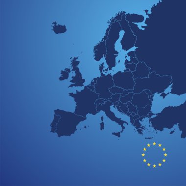
Europe map cover vector

Germany map and flag of Germany. City names - land contours. Vector illustration.

Travel to Germany, Berlin Poster skyline. Reichstag, Brandenburg Gate. Vector illustration

Germany outline map set
Illustration of euro currency symbol with europe maps
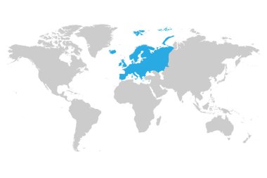
Europe continent blue marked in grey silhouette of World map. Simple flat vector illustration.

Printable map of Fulda, Germany with main and secondary roads and larger railways. This map is carefully designed for routing and placing individual data.

Vector set of Germany country. Isometric 3d map, Germany map, Europe map - with region, state names and city names.

Vector map of the city of Bonn, Germany, North Rhine-Westphalia, Cologne

Europe detailed political map. D.I.Y.infographic set.All elements are separated in editable layers clearly labeled. All layers are subscribed.

Europe detailed map.Vintage colors.All elements are separated in editable layers clearly labeled. All layers are subscribed.

Vector map of Germany, each state is the individual isolated object.

Vector map of the city of Berlin, Germany

G-20 or Group of major economies in the world. Highlighted by orange in blank world political map

Vector map of the city of Essen, Germany

G-20 or Group of major economies in the world. Highlighted by orange in blank world political map

Germany country map collection with seperated federal state silhouettes, high detailed,

G-20 or Group of major economies in the world. Highlighted by red in blank world political map

Vector map of the city of Essen, Germany

28 NATO member countries highlighted by blue in blank world political map

Vector map of the city of Munich, Bavaria, Germany

Vector map of the city of Berlin, Germany

Vector map of the city of Nuremberg, Germany

Vector map of the city of Berlin, Germany

The Map Of Europe. Political vector map of Europe with national borders.

Polygonal blue map of Germany

Isometric 3D Germany map. Stylized vector map illustration with cities, borders, capital, administrative divisions and pointer marks; gradient background with grid.
Abstract europe color vector map on white

Vector map of the city of Frankfurt am Main, Hesse, Germany

Vector map of the city of Berlin. Roads. Vector

Motorway vector map of Germany and the Benelux states

Political map of Europe in four shades of orange on white background. Vector illustration.