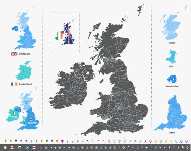
Vector map of British Isles with administrative divisions
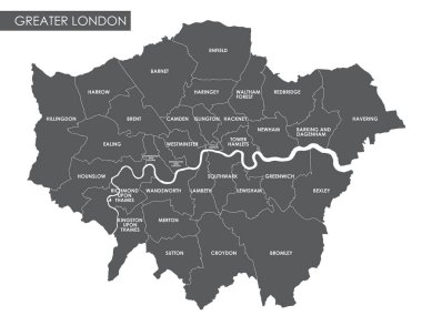
Vector Greater London administrative map

Administrative and political map of inner London, Statistical definition
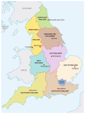
Outline map of the nine regions of England

Croydon, Greater London, United Kingdom high detail vector map

Greater London ENGLAND UK region map with Coronavirus warning illustration
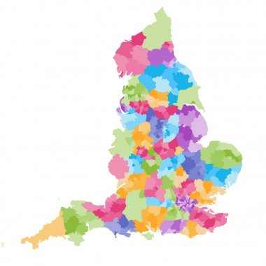
England ceremonial counties and their districts vector map. Each county distinctions between each other by different color palette
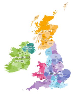
British Isles map colored by countries and regions
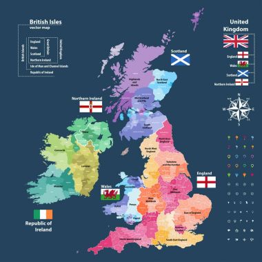
Vector map of British Isles administrative divisions colored by countries and regions. Districts and counties maps and flags of United Kingdom,Northern Ireland, Wales, Scotland and Republic of Ireland

High quality colorful labeled map of England with borders of the counties
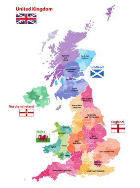
Vector map of United Kingdom colored by countries, counties and regions

United Kingdom administrative districts high detailed vector map colored by regions with editable and labelled layers
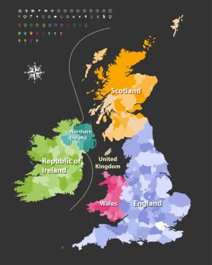
British Isles map colored by countries. Vector
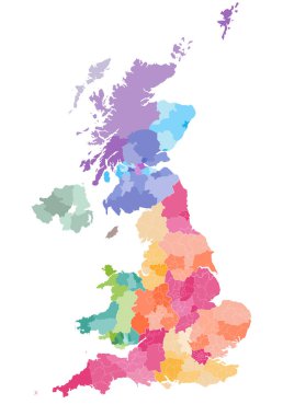
Vector map of United Kingdom administrative divisions colored by countries and regions. Districts and counties map of England, Wales, Scotland and Northern Ireland

England ceremonial counties vector map colored by regions
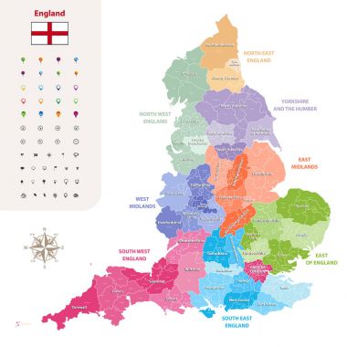
England ceremonial counties vector map colored by regions
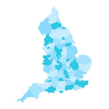
England administrative divisions map. Metropolitan and non-metropolitan counties and unitary authorities. Blue vector map with labels.
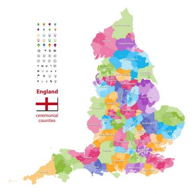
Vector map of England ceremonial counties. Flag of England. Navigation and location icons
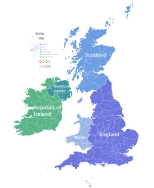
Vector map of British Isles
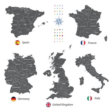
High detailed vector maps of United Kingdom, Italy, Germany, France and Spain

Map of the subdivisions of England with the Greater London that is one of nine official regions
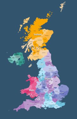
United Kingdom high detailed vector map with administrative divisions borders
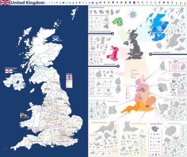
High-detailed administrative units map of United Kingdom. All elements entitled and easy-to-use
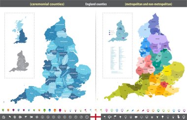
England counties vector map

United Kingdom administrative districts vector high detailed map colored by regions and counties

High detailed vector maps of United Kingdom, Italy, Germany, France and Spain

High detailed vector maps of United Kingdom, Italy, Germany, France and Spain
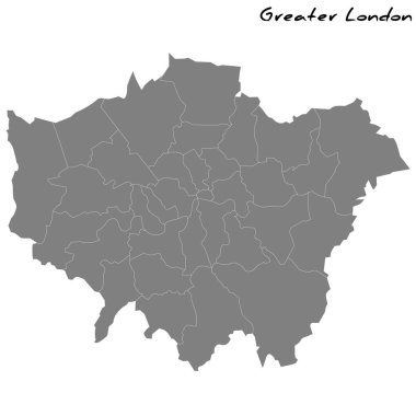
High Quality map of Greater London is a metropolitan county of England, with borders of the counties

Colville (Washington) blank outline map

Cleveland (Wisconsin) blank outline map

Cavendish (Washington) blank outline map

Kings Park (Virginia) blank outline map

Victoria (Virginia) blank outline map

Hyde Park (Utah) blank outline map

Coomalie, Darwin, East Arnhem, Katherine outline maps

Stanley (Wisconsin) blank outline map

Springfield (Vermont) blank outline map

Springfield (Washington) blank outline map

Bassendean, Bayswater, Belmont, Beverley outline maps

Coorow, Corrigin, Cottesloe, Cranbrook outline maps

Northfield (Vermont) blank outline map

United Kingdom of Great Britain and Northern Ireland political map of administrative divisions - counties, unitary authorities and Greater London in England. Grey blank map

Marlborough region blank outline map

Abingdon (Virginia) blank outline map

Bedford (Virginia) blank outline map

Cavendish (Vermont) blank outline map

Essex, Gateshead, Gloucestershire, Greater London outline maps
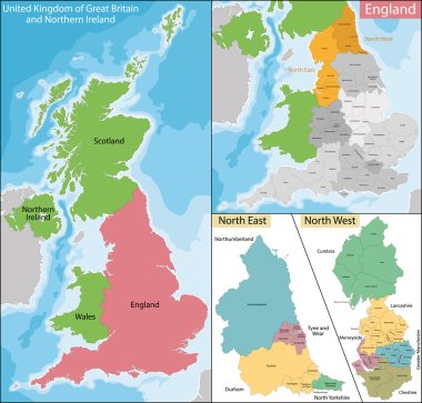
Map of the subdivisions of England with the North East and the North West

Administrative and political map of inner London, Statutory definition

Travel poster, urban street plan city map London and Birmingham, vector illustration

Blue map of London

United Kingdom countries, UK regions and London vector map

The Greater London administrative map with labels isolated on white background
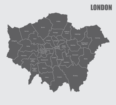
A London map divided into regions with labels

Outline vector map of the six metropolitan counties of England, United Kingdom
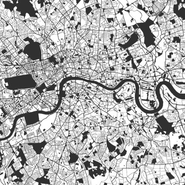
London Monochrome Map Artprint, Vector Outline Version, ready for color change, Separated On White

London Colorful map. Vintage map series.

London Compass Design Map Artprint, Vector Outline Version, ready for color change, Separated On White

All flags of the England regions. vector illustrations

London administrative vector map

All Flags counties of England. Vector illustraion

High Quality map of South Yorkshire is a metropolitan county of England, with borders of the counties

Buckinghamshire county outline map isolated on white background, England

Northfield (Washington) blank outline map