Gujarat blank detailed outline map set

India country detailed editable map with regions cities and towns, roads and railways, geographic sites. Vector EPS-10 file

Jharkhand administrative and political map, India

India map. Outline illustration country map with state shapes, names and borders.

Illustration of detailed map of India on colored back

India map. Outline illustration country map with state names and their capital cities.

Map of India. Outline illustration country map with state names and borders.

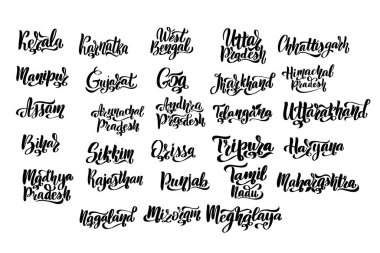
States of India. Handwritten stock lettering set ink typography. Calligraphy for logotype badge icon card postcard logo, banner, tag. Vector illustration EPS10.

Minimal Ahmedabad city map silhouette vector, perfect for design, print, and digital projects. Simple black outline of Gujarats largest city

Daman and Diu, Delhi, Goa, Gujarat outline maps