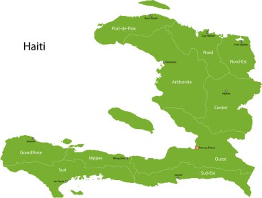
Haiti map with departments and capital cities

Haiti map on a white background sign

Yellow map isolated on dark blue background of the Country Haiti - vector illustration

Haiti map with flag inside and ribbon
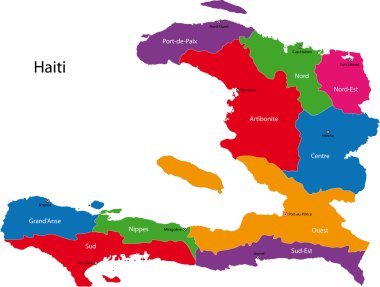
Map of the Republic of Haiti with the departments colored in bright colors

Detailed vector map of Haiti and capital city Port-au-Prince

Haiti map card paper 3D natural vector
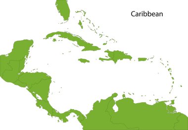
Caribbean map with countries

Haiti vector map with infographic elements, pointer marks. Editable template with regions, cities and capital Port-au-Prince.

Haiti map outline vector with administrative borders, regions, municipalities, departments in black white colors. Infographic design template map

Black Haiti map on light grey background. Black Haiti map - vector illustration.
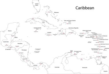
Caribbean map with countries

West Indies - vector maps of countries

Haiti map blackboard chalkboard vector
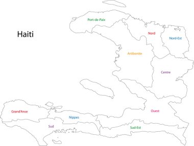
Outline Haiti map with departments

Vector Haiti Map card paper on blue background, high detailed

North America map with flags, North America map colored in with their flag. Vector Illustration.

Location of Haiti on the Caribbean

Haiti blank detailed outline map set

Haiti blank detailed outline map set - vector version
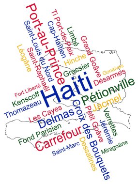
Haiti map and words cloud with larger cities

Haiti map flag and text illustration, on world map

A fun placemat for kids. Printable Travel to Haiti activity sheet with a labyrinth and find the differences. 17x11 inch printable vector file

Map of haiti. map concept
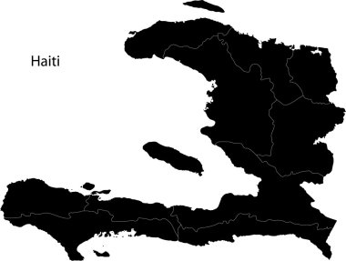
Black Haiti map separated on the departments

Flag Haiti from brush strokes and Blank map of Haiti. High quality map Republic of Haiti and flag on transparent background. Stock vector. Vector illustration EPS10.

Flag of Haiti - vector illustration

Flag of Haiti - vector illustration

Haiti Map. Haitian Country Map. Hayti Black and White National Nation Outline Geography Border Boundary Shape Territory Vector Illustration EPS Clipart

Haiti map with administrative divisions. Vector illustration.
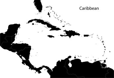
Caribbean map with countries

Colorful Caribbean map with countries and capital cities

Political map of Carribean. Pink highlighted states and dependent territories. Simple flat vector illustration.

Hand drawn vector map of Central America and Mexico. Colorful cartoon style cartography of central America including Mexico, Nicaragua, Honduras, Panama, San Salvador, Guatemala, Bahamas, Cuba...
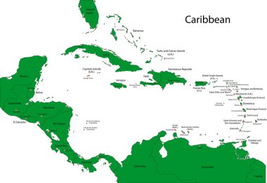
Caribbean map with countries

Association of the Caribbean States map

Central America and Caribbean islands map, states and capital city with names, white on background vector

Greater Antilles political vector map with English labeling
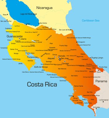
Vector color map of Costa Rica country

Cuba road and national park vector map.

Bahamas vector color map country

Grand Bahama vector color map

Caribbean islands Central America map, new political detailed map, separate individual states, with state names, isolated on white background 3D vector

Caribbean islands map with names vector
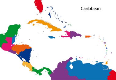
Colorful Caribbean map with countries
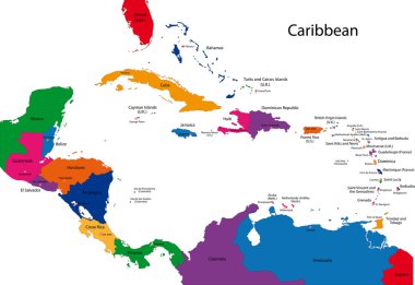
Caribbean map with countries

Blank map of Haiti. Districts of Haiti map. High detailed vector map Republic of Haiti on transparent background for your web site design, logo, app, UI. EPS10.

Cuba road and national park vector map.

Caribbean -highly detailed map. Vector illustration

Highly detailed physical map of South America,in vector format,with all the relief forms,countries and big cities.

Vector map of the Caribbean island country of Haiti

Black map collection, black contour maps of World. Map collection Part 10.

The flag of the country in the form of borders

Silhouette map of the North America countries with major rivers and lakes. All objects are independent and fully editable.

Silhouette map of the North America with major rivers and lakes. All objects are independent and fully editable.

Hand drawn vector map of Central America and Mexico. Colorful cartoon style cartography of central America including Mexico, Nicaragua, Honduras, Panama, San Salvador, Guatemala, Bahamas, Cuba...

Hand drawn vector map of Central America and Mexico. Colorful cartoon style cartography of central America including Mexico, Nicaragua, Honduras, Panama, San Salvador, Guatemala, Bahamas, Cuba...

Black location map of the Honduran Yoro department inside gray map of Honduras

Black location map of the Honduran Ocotepeque department inside gray map of Honduras

Caribbean -highly detailed map. Vector illustration

Colorful Caribbean map with countries and capital cities

Black location map of the Honduran Corts department inside gray map of Honduras

Black location map of the Honduran Choluteca department inside gray map of Honduras

Black location map of the Honduran Francisco Morazn department inside gray map of Honduras

Black location map of the Honduran Lempira department inside gray map of Honduras

Black location map of the Honduran Intibuc department inside gray map of Honduras

Black location map of the Honduran El Paraso department inside gray map of Honduras

Black location map of the Honduran La Paz department inside gray map of Honduras

Black location map of the Honduran Comayagua department inside gray map of Honduras

Black location map of the Honduran Gracias a Dios department inside gray map of Honduras

Black location map of the Honduran Santa Brbara department inside gray map of Honduras

Black location map of the Honduran Atlntida department inside gray map of Honduras
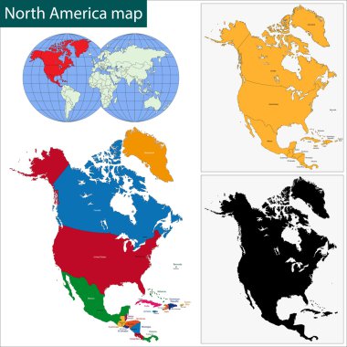
Colorful North America map with countries and capital cities

Political map of Carribean. Blue highlighted states and dependent territories. Simple flat vector illustration.

Black location map of the Honduran Olancho department inside gray map of Honduras

Black location map of the Honduran Islas de la Baha department inside gray map of Honduras

Black location map of the Honduran Valle department inside gray map of Honduras

Caribbean - highly detailed map. Vector illustration

Map of the Republic of Haiti with the departments and cities

North America with country borders, vector

Caribbean Region. Map of countries in Caribbean Sea in Central America. Vector illustration.

Political map of Carribean. Gray lands on white background. Simple flat vector illustration.

Black location map of the Honduran Copn department inside gray map of Honduras

Black location map of the Honduran Coln department inside gray map of Honduras

Flag of Jamaica cropped inside it's map

Map of Haiti with flag - vector illustration

Detailed illustration of a ballotbox in front of a map of Haiti, eps10 vector

Political map of Carribean. Orange highlighted states and dependent territories. Simple flat vector illustration.

Haiti Map and Flag

Haiti Map Silhouette with National Flag Design

Political map of Carribean. Green highlighted sovereign states and orange dependent territories. Simple flat vector illustration.