
Tamil Nadu Highlighted in India Map vector illustration

Illustration of concept No smoking and World No Tobacco Day. Indian map

Illustration of concept No smoking and World No Tobacco Day. World map
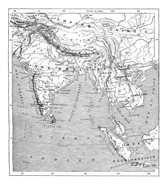
Old engraved illustration of map of India and Indochina. Dictionary of words and things - Larive and Fleury ? 1895

Administrative and political map of indian state of Maharashtra, india

Administrative and political map of indian state of Tamil Nadu, india

India isolated blank outline map set
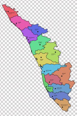
Kerala map with all the 14 districts highlighted in different colours. Names of the respective districts are given in Malayalam and English languages.
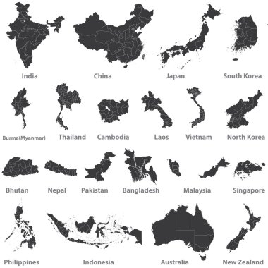
High detailed vector maps of asian countries, Australia and New Zealand

Blue india national map vector image on white background

Dotted Great Britain map on white

Vector collection of colorful round 3D map pointers with world map, 9 colors

World map illustration infographics geometric sketch design, credit world map of Nasa
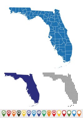
Set maps of Florida state

Republic of India isolated map and official flag icons. vector Indian political map thin line style illustration. South Asia country geographic banner template. travel and business concept map

Black and white map of India

Administrative and political map of indian state of kerala, india

Illustration of people all over the world around the globe

Vector Map Icon of the World Globe

Vector India map in vintage design. Indian border on grunge background. Letters are not cut and easy to move

White map of India with red push pin
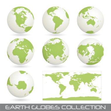
Collection of earth globes end a map isolated on white, vector illustration

Republic of India isolated maps and official flag icon. vector Indian territory logotype. South Asia country geographic banner template. travel and business logo

South Africa, Madagascar, South America and Antarctica, South Pole

Australia Map on Vintage BlackBoard - Handwriting World Maps Set

Map and flag of India
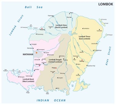
Lombok administrative and political map, Indonesia

Commonwealth of Australia isolated map and official flag icons. vector Australian political continent 3d illustration map. Aussie geographic banner template. travel and business concept

South Africa, Madagascar, South America and Antarctica, South Pole

Black map of India

Portuguese alphabet. Newspaper, kiwi, rabbit Indian The letters and characters

Tourism app, navigation and global connections: tourist traveling to India and using maps on his smartphone to find locations

Black silhouette and outline maps of india on a white background