Blank detailed outline maps of Iraq - vector version

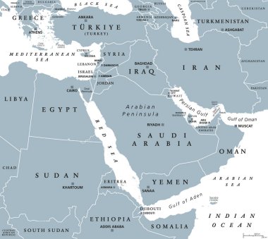
The Middle East, gray political map with capitals and international borders. Geopolitical region encompassing the Arabian Peninsula, the Levant, Turkey, Egypt, Iran and Iraq. Also called Near East.

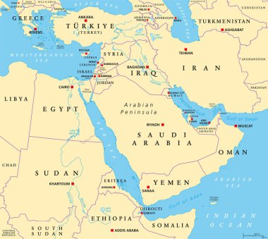
The Middle East, political map with capitals and international borders. Geopolitical region encompassing the Arabian Peninsula, the Levant, Turkey, Egypt, Iran and Iraq. Formerly called Near East.

Map of administrative divisions of Iraq

Persian Gulf region, multi colored political map. Arabian Gulf, a sea in West Asia, located between Iran and the Arabian Peninsula, connected to the Gulf of Oman in the east by the Strait of Hormuz.

Iraq network map. Abstract polygonal map design. Internet connections vector illustration.

OPEC (orange) and OPEC+ map with countries in World Equidistant Cylindrical (Sphere) Projection

Map of administrative divisions of Iraq

Location of Iraq on Western Asia

Color map of Western Asia divided by the countries

Map of administrative divisions of Iraq

Asia Map. Tourist and travel landmarks, vector illustration.

3d map of Iraq with borders of regions

Map of Iraq with borders with bright colors

Baghdad, Basra, Dhi-Qar, Dihok outline maps

Al-Anbar, Al-Qadisiyah, Arbil, Babil outline maps

Travel and tourism background. Vector flat illustration

Travel and tourism background. Vector flat illustration

Diyala, Karbala, Kirkuk, Maysan, Muthanna outline maps

Iraq political map of administrative divisions - governorates and Kurdistan Region. Grey blank vector editable map EPS.