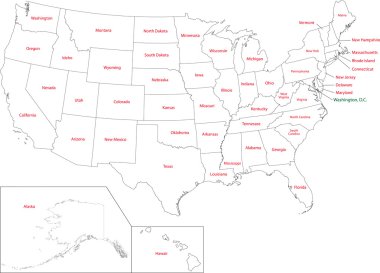
Outline USA map with states

New Jersey map, united states of america. Flat concept icon symbol vector illustration .

Vector color map of New Jersey state. Usa

New jersey road map with flag

Vector illustration of map of New Jersey in low poly design
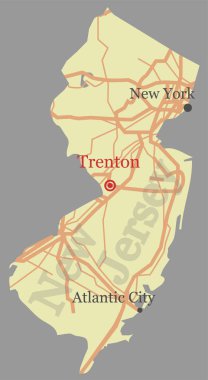
New Jersey vector accurate high detailed State Map with Community Assistance and Activates Icons Original pastel Illustratio

A Set of Infographic Elements for the State of New Jersey

A map of the state of New Jersey created from a series of red dots over a white background

Map of the U.S. state of New Jersey

Map of New Jersey with American flag. Map pointer with American flag illustration.

New Jersey Icons

Highly detailed vector silhouettes of US state maps, Division United States into counties, political and geographic subdivisions of a states, Mid-Atlantic - Pennsylvania, New Jersey, New York - set 3 of 17

Map of New Jersey state

New Jersey map. Blank vector map of the Us State with counties. Borders of New Jersey for your infographic. Vector illustration.

New Jersey State Flags and Maps Icon Pack.

Monmouth County (New Jersey) blank outline map

Map of The United States of America (USA) Divided States Maps Outline Illustration on White Background

New Jersey, state of USA - solid black outline map of country area. Simple flat vector illustration.

New Jersey NJ State Border USA Map Outline

Atlantic County (New Jersey) blank outline map
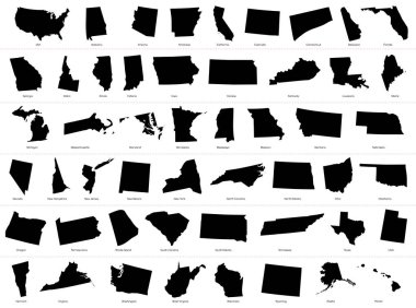
The United States of America (USA), commonly known as the United States (U.S.) or America, is a federal republic composed of 50 states, a federal district, five major self-governing territories, and various possessions. At 3.8 million square miles (9

New Jersey map, united states of america. Flat concept icon symbol vector illustration .

Ocean County (New Jersey) blank outline map

A collection of maps of all the U.S. States in gray color. Maps with neighboring states.

Vector posters with highly detailed silhouettes of maps of the states of America, Division Mid-Atlantic - Pennsylvania, New Jersey, New York - set 3 of 17

New Jersey map on white background. New Jersey state sign. outline map of New Jersey. flat style.

A large and detailed map of the USA with every single county.

Stylized green sketch map of New Jersey

Simple high detailed map of Long Island New York, USA. Vector illustration
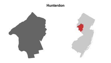
Hunterdon County (New Jersey) blank outline map set

Map of the U.S. state of New Jersey

The New Jersey State county map isolated on white background
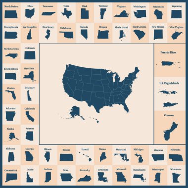
Outline map of the United States of America. 50 States of the USA. US map with state borders. Silhouettes of the USA and Guam, Puerto Rico, US Virgin Islands. Vector illustration.
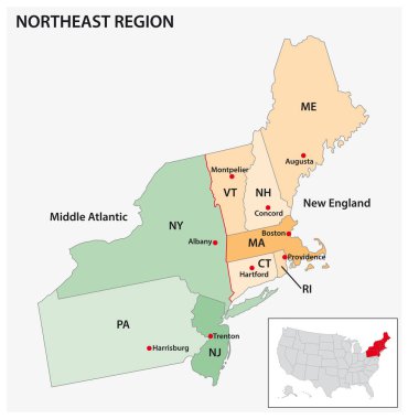
Administrative vector map of the US Census Region Northeast
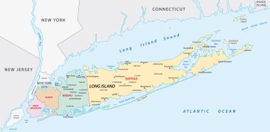
Map of of long Iceland in new york state

Detailed map of US regions, isolated states with names, Colorful infographics of the United States of America, vector illustration

New Jersey, New Hampshire travel stickers with scenic attractions and retro text on vintage suitcase background
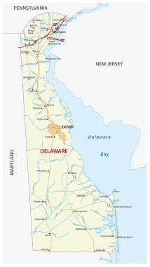
Road map of the US state delaware with flag
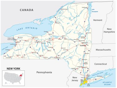
Road map of the US American State of New York
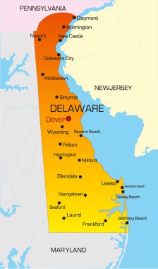
Vector color map of Delaware state. Usa
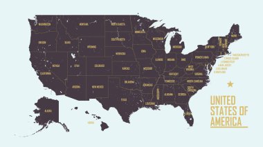
Detailed vintage map of United States of America with names of 50 states, vector illustration
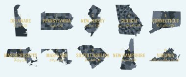
Set 1 of 5 Division United States into counties, political and geographic subdivisions of a states, Highly detailed vector maps with names and territory nicknames

Map of the USA. Image with clipping path and name of states. State mark. Maryland. Vector illustration.

Colorful New Jersey map vector silhouette illustration isolated on white background. High detailed. United state of America country. New Jersey line contour map with separated county borders.
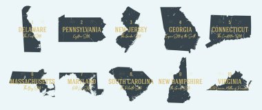
Set 1 of 5 Highly detailed vector silhouettes of USA state maps with names and territory nicknames

New Jersey NJ State Border USA Map Solid

Map of new jersey. map concept

Set of 3D images of the State of New Jersey with icons.

New Jersey map, united states of america. Flat concept icon symbol vector illustration .

The outline of New York state

South Brooklyn map, New York city, streets and district. City map. Usa
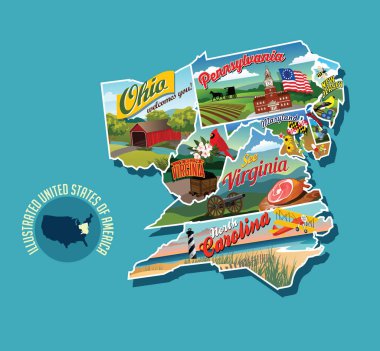
Illustrated pictorial map of eastern United States. Includes Pennsylvania, New Jersey, West Virginia, Virginia, North Carolina, Delaware and Maryland. Vector Illustration.

United States of America map on wooden icons
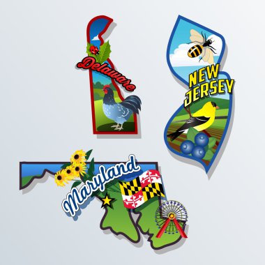
New Jersey, Delaware, Maryland retro state facts vector Illustrations

3 of 50 states of the United States with a name, nickname, and date admitted to the Union, Detailed Vector New Jersey Map for printing posters, postcards and t-shirts

Brooklyn map, New York city, streets and district. City map. Usa

Outline map of the United States of America. States of the USA. Vector illustration.US map with state borders. usa silhouette

Blank map of Jersey. High quality map of Jersey with provinces on transparent background for your web site design, logo, app, UI. Europe. UK. EPS10.
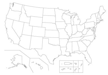
Outline United States Of America map. US background template. Map of America with separated countries and interstate borders. All states and regions are named in the layer panel.

Vector halftone Dotted map of Channel Islands country for your design, Travel Illustration concept.

Map of the roads and neighborhoods of new york borough brooklyn

Detailed blue map poster of Jersey city administrative area. Skyline panorama. Decorative graphic tourist map of Jersey territory. Royalty free vector illustration.
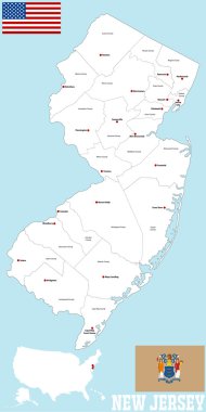
A large and detailed map of the State of New Jersey with all counties and main cities.

Maryland state detailed editable map with cities and towns, geographic sites, roads, railways, interstates and U.S. highways. Vector EPS-10 file, trending color scheme
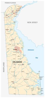
Road map of the US American State of Delaware
Map of the U.S. state of New Jersey
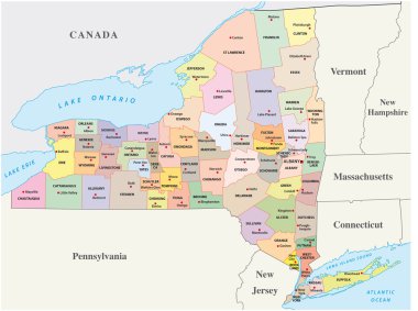
New york administrative and political map
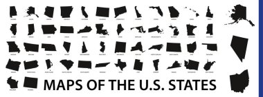
Collection of outline shape of US states map in black. Vector flat design.

U.S. states - map of New Jersey. Hand made. Rivers and lakes are shown. Please look at my other images of cartographic series - they are all very detailed and carefully drawn by hand WITH RIVERS AND LAKES.

A large and detailed map of the USA with every single county.

Abstract dotted polka dot map of united kingdom.

Vector map of the East Coast, United States

Road and administrative map of the US American State of Delaware
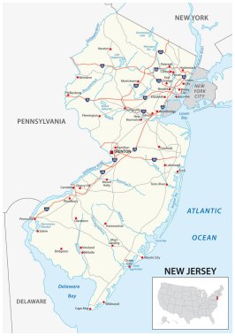
Road map of the US American State of new jersey

Middlesex county, New Jersey. Set of generic stamps and signs.

New Jersey Map Vector Outline Design Template. Editable Stroke.
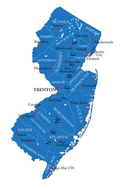
Detailed map of New Jersey state,in vector format,with county borders,roads and major cities

Long island administrative and political vector map

New Jersey map vector silhouette illustration isolated on white background. High detailed. United state of America country. New Jersey line contour map with separated county borders.

Abstract dotted polka dot map of united kingdom

Black map of the State of New Jersey - vector illustration. Simple flat map State of New Jersey.

Union township, New Jersey. Set of generic stamps and signs

Hudson county, New Jersey. Set of generic stamps and signs.

Vector illustration of a vintage sticker in form of New Jersey state, USA

Map of jersey. High detailed vector map - jersey.

Bergen county, New Jersey. Set of generic stamps and signs.

Road map of the US state delaware

Vector Image - Map of Bailiwick of Jersey, British Crown dependency with Dot Pattern

New jersey administrative and political vector map with flag

US State Maps with flag collection, nine USA map contour with flag of Nevada, New Hampshire, New Jersey, New Mexico, New York, North Carolina, North Dakota, Ohio, Oklahoma

Map of the U.S. state of New Jersey

3d isometric map of Jersey is an island in United Kingdom, isolated vector illustration

New jersey road map
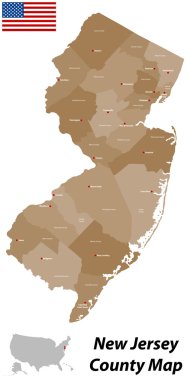
A large and detailed map of the State of New Jersey with all counties and main cities.

Morris county, New Jersey. Set of generic stamps and signs.
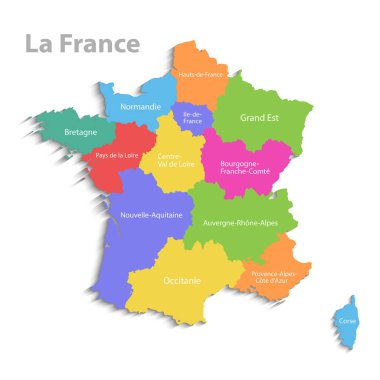
France map, new political detailed map, separate individual regions, with state names, isolated on white background 3D vector

New Jersey State map in gray on a black background 3d

Maryland federal state road vector map with flag

Trenton city, New Jersey. Set of generic stamps and signs.

Flag of Jersey from brush strokes. Flag of Jersey on transparent background for your web site design, app, UI. Europe. UK. Stock vector. EPS10.