Description:
This SVG vector image represents the Jewish Autonomous Region, a unique area in Russia known for its historical significance. The design includes detailed outlines of the geographical boundaries, making it suitable for educational materials or cultural presentations. The format allows for easy scalability without loss of quality, ensuring it looks sharp in any project. Created in a flat style, it emphasizes clarity and precision. The image can be utilized in geographic studies, cultural explorations, or designing informative posters. This SVG is compatible with various design software.
Usage ideas:
This vector illustration of the Jewish Autonomous Region can be employed in numerous contexts, such as creating educational materials for geography lessons or cultural studies. It can be integrated into travel brochures, website graphics, and interactive maps that showcase this unique region. Designers may also find it useful for crafting custom merchandise like T-shirts or tote bags that feature regional pride. This vector image is perfect for presentations, reports, and digital content aimed at promoting awareness about this culturally rich area.

Flag of Birobidzhan is a town and the administrative center of the Jewish Autonomous Oblast, Russia. Vector illustration

Outline map of Jewish Autonomous Oblast with flag. Regions of Russia. Vector illustration.

Israel political map of administrative divisions - districts, Gaza Strip and Judea and Samaria Area. Yellow shade flat vector map with name labels and dropped shadow isolated on dark grey background.

Israel political map of administrative divisions - districts, Gaza Strip and Judea and Samaria Area. Colorful spectrum political map with labels and country name.

Israel political map of administrative divisions - districts, Gaza Strip and Judea and Samaria Area. Shaded vector map with 3D-like blue gradient and name labels

Israel political map of administrative divisions - districts, Gaza Strip and Judea and Samaria Area. Colorful 3D vector map with country province names and dropped shadow.

Israel political map of administrative divisions - districts, Gaza Strip and Judea and Samaria Area. 3D isometric blank vector map in shades of grey.

Emblem of Jewish Autonomous Oblast, province of Russia

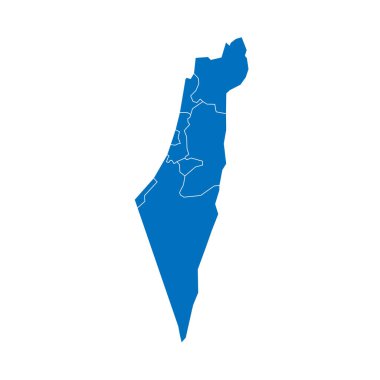
Israel political map of administrative divisions - districts, Gaza Strip and Judea and Samaria Area. Solid blue blank vector map with white borders.

Israel political map of administrative divisions - districts, Gaza Strip and Judea and Samaria Area. Blank colorful vector map.

Israel political map of administrative divisions - districts, Gaza Strip and Judea and Samaria Area. Blank black map and country name title.

Israel political map of administrative divisions - districts, Gaza Strip and Judea and Samaria Area. Blank vector map in CMYK colors.