
Black outline of Kentucky map- vector illustration

Map of kentucky. map concept

Blue abstract outline of Kentucky map

Stylized blue sketch map of Kentucky

Orange map of US federal state of Kentucky (Bluegrass State)

Kentucky State dark silhouette map isolated on white background
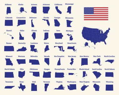
Outline map of the United States of America. 50 States of the USA. US map with state borders. Silhouette of the USA and flag. Vector illustration.

Vector Kentucky Map silhouette. Isolated vector Illustration. Black on White background.

US State Maps with flag collection, nine USA map contour with flag of Georgia, Hawaii, Idaho, Illinois, Indiana, Iowa, Kansas, Kentucky, Louisiana

Kentucky blank outline map set

Kentucky State map with US flag inside and Map pointer with American flag

Kentucky state. Lettering and vector map.

Black map of the State of Kentucky - vector illustration. Simple flat map State of Kentucky.

Kentucky state blank vector outline map set

Kentucky simple logo. State map outline - smooth simplified US state shape map vector.
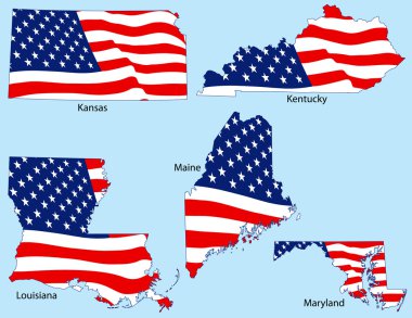
Kansas, Kentucky, Louisiana, Maine and Maryland outlines with flags, each individually grouped

Kentucky state map silhouette icon
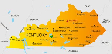
Vector color map of Kentucky state. Usa

A Kentucky state outline with the date of statehood isolated on a white background

Vintage vector round label. Kentucky. River Eating horse

A large and detailed map of the State of Kentucky with all counties and county seats.

Map of the U.S. state of Kentucky

Louisville city skyline silhouette - multicolor line art

Kentucky State Map Creative Vector Typography Lettering Composition with flowers. Design Concept
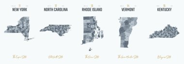
Vector set 3 of 10 Highly detailed silhouettes of US state maps, divided into counties with names and territory nicknames
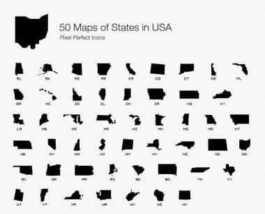
All 50 USA States Map Pixel Perfect Icons (Filled Style). Vector icons of the complete United States of America states map.
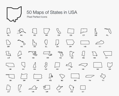
All 50 USA States Map Pixel Perfect Icons (Line Style). Vector icons of the complete United States of America states map.
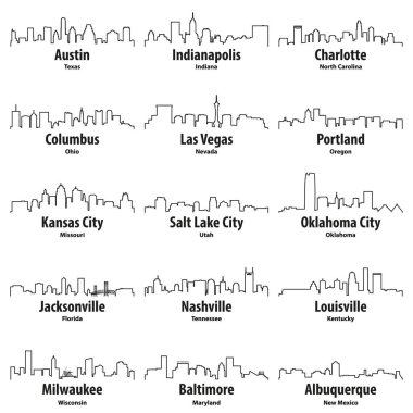
United States cities skylines vector outline icons set

Simple map of Kentucky state of United States and location on USA map
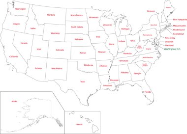
Outline USA map with states

Highly detailed vector silhouettes of US state maps, Division United States into counties, political and geographic subdivisions of a states, East South Central - Mississippi, Kentucky, Tennessee - set 11 of 17

Kentucky KY State Border USA Map Soild

Black outline of USA map
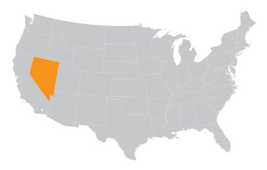
USA map with the indication of State of Nevada

Kentucky high detailed map. Us state silhouette icon. Isolated Kentucky black map outline. Vector illustration.

Lincoln County (Kentucky) blank outline map set

The Kentucky State Counties Map isolated on white background
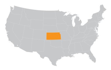
USA map with the indication of The State of Kansas

State map. USA silhouette in flat style. Vector isolated outline illusrtation
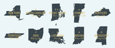
Set 2 of 5 Highly detailed vector silhouettes of USA state maps with names and territory nicknames
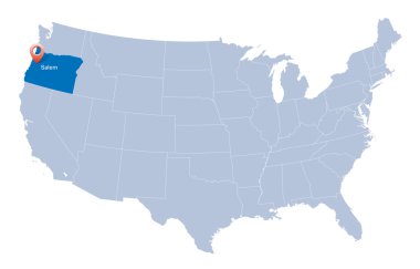
Map of USA with the indication of State of Oregon

Kentucky State Symbol with Sunset Scenery Perfect for Print, Apparel, etc

Ohio administrative and political vector map with flag

Kentucky - Highly detailed editable political map.

United States of America map and Kentucky state territory on textured paper

Highly detailed editable political map with separated layers. Kentucky.

Highly detailed editable political map with separated layers. Kentucky.

Kentucky. Silhouette state. Kentucky map with text script. Vector outline Isolated illustratuon on a white background. Kentucky state map for poster, banner, t-shirt, tee.

Tennessee road vector map

North carolina administrative and political vector map with flag

Kentucky network map. Abstract polygonal US state map design. Internet connections vector illustration.
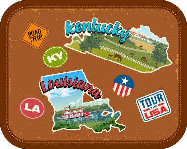
Kentucky, Louisiana travel stickers with scenic attractions and retro text on vintage suitcase background

Illustrated pictorial map of Midwest United States. Includes Wisconsin, Michigan, Missouri, Illinois, Indiana, Kentucky and Ohio. Vector Illustration.

Tennessee road vector map with flag

Louisville, Kentucky skyline. Detailed vector silhouette

Louisville Kentucky USA City Skyline with Color Buildings isolated on white. Vector Illustration. Business Travel and Tourism Concept with Modern Architecture. Louisville Cityscape with Landmarks.

Kentucky map on road sign. Wide poster with Kentucky us state map on yellow rhomb road sign. Vector illustration.

Administrative vector map of the states of the Southeastern United States

North Carolina state detailed editable map with cities and towns, geographic sites, roads, railways, interstates and U.S. highways. Vector EPS-10 file, trending color scheme

Vector posters states of the United States with a name, nickname, date admitted to the Union, Division East South Central - Mississippi, Kentucky, Tennessee - set 11 of 17

Outline maps of USA states collection, black lined vector map.

A large and detailed map of the USA with every single county.

A collection of maps of all the U.S. States in gray color. Maps with neighboring states.

Red outline of USA map

State map outline of Kentucky over a white background

Single continuous line drawing Lexington city skyline, Kentucky. Famous city scraper landscape. World travel home wall decor art poster print concept. Modern one line draw design vector illustration
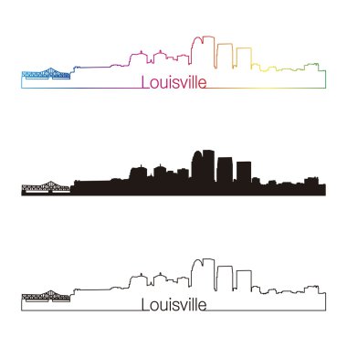
Louisville skyline linear style with rainbow in editable vector file

Set Of 13 simple editable icons such as ohio, ninja, doberman, minnesota, chameleon, wisconsin, kentucky state, cell phone, gorilla can be used for mobile, web UI

2017 Solar Eclipse Totality across America USA numeral and text color vector illustration
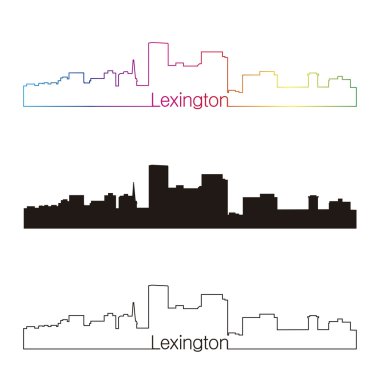
Lexington skyline linear style with rainbow in editable vector file

Map of USA with the indication of State of Colorado and Denver
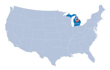
USA map with the indication of Sate of Michigan

United States of America Vector Map. USA Map vector illustration. Regions Map.
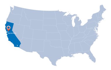
Map of USA with the indication of State of California and Sacramento
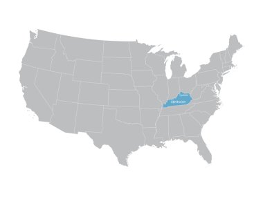
Vector map of United States with indication of Kentucky

Map of USA with the indication of Washington state

A large and detailed map of the USA with every single county.

Map of USA with the indication of State of Oklahoma
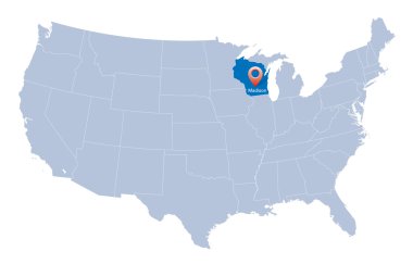
Map of USA with the indication of Wisconsin state

United States of America Vector Map. Map with cities.
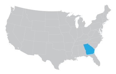
USA map with the indication of the State of Georgia

Louisville landmarks and monuments isolated on blue background in editable vector file

The Illinois State counties map isolated on white background
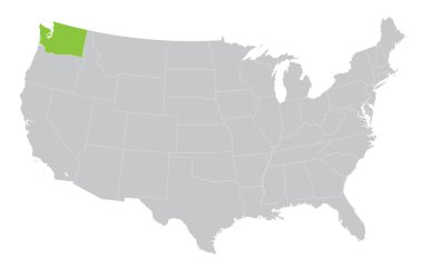
USA map with the indication of State of Washington

Map of USA with the indication of State of Nevada and Carson City
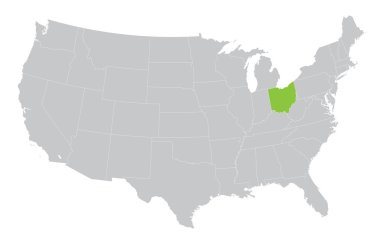
USA map with the indication of the State of Ohio

Louisville skyline in orange background in editable vector file

Modern City Map - Louisville Kentucky city of the USA with neighborhoods and titles outline map

Map of USA with the indication of State of Ohio

Set of 3D images of the State of Kentucky with icons.

Kentucky State magnified on United States map. Abstract USA map in blue color. Vector illustration.

USA map with the indication of State of Kansas and Topeka town

Map of the United States of America. Vector illustration. World map

Cityscape Building Line art Vector Illustration design - Lexington city

Kentucky Icons
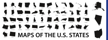
Collection of outline shape of US states map in black. Vector flat design.

Kentucky state map. US state map. Kentucky outline symbol. Vector illustration

All 50 USA States Map Pixel Perfect Icons (Line Style Shadow Edition). Vector icons of the complete United States of America states map.

Kentucky state detailed editable map with cities and towns, geographic sites, roads, railways, interstates and U.S. highways. Vector EPS-10 file, trending color scheme

Outline map of the United States of America. States of the USA. Vector illustration.US map with state borders. usa silhouette