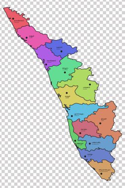
Kerala map with all the 14 districts highlighted in different colours. Names of the respective districts are given in Malayalam and English languages.

Outline map of the Republic India with the borders of the states and Union Territories, includes the new state Telangana

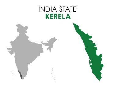
Southern state Kerala on the map of India

Kerala map of Indian state. Kerala map vector illustration. Kerala vector map on white background.

Administrative and political map of indian state of kerala, india

Isolated vector Illustration. Black on White background. EPS 10 Illustration

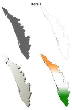
Kerala blank detailed outline map set

Kerala state blank outline map set

Karnataka, Kerala, Madhya Pradesh, Maharashtra outline maps

Map of India with rivers and lakes. Map consists of separate maps of federal states and union territories that can be used separately (only vector). Especially looks nice at high magnification. Not for navigational use.

Kerala silhouette skyline. India - Kerala vector city, indian linear architecture, buildings. Kerala line travel illustration, landmarks. India flat icon, indian outline design banner

Isolated vector Illustration. Black on White background. EPS 10 Illustration

Vector map India. Isolated vector Illustration. Black on White background. EPS 10 Illustration.

High quality map of Kerala

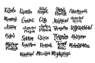
States of India. Handwritten stock lettering set ink typography. Calligraphy for logotype badge icon card postcard logo, banner, tag. Vector illustration EPS10.

Map of the South Indian state of Karnataka