
Vector map of Ukrainian city Kyiv (Kiev) with highways and streets, administrative borders, grey color with white background

Kiev city blank detailed outline map set

Kyiv Kiev map. Detailed map of Kyiv Kiev city administrative area. Cityscape panorama. Royalty free vector illustration. Outline map with highways, streets, rivers. Tourist decorative street map.

Kiev city map. City Plan. Vector illustration

Kiev (Ukraine) vector map

Gray - white vector map of Kiev. City plan Kiev.Vector illustration.

Map of the city of Kiev with the surroundings. City Plan. Vector illustration

Ukraine hand lettering and doodles elements background. Vector illustration

Administrative, political and roadmap of the Ukrainian capital Kiev

Kiev oblast blank detailed outline map set

Urban city map of Kyiv Kiev. Vector illustration, Kyiv Kiev map grayscale art poster. Street map image with roads, metropolitan city area view.

Ukraine hand lettering and doodles elements chalk board background. Vector illustration
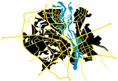
Kiev (Ukraine) vector map

Kiev (Ukraine) vector map

Kiev city blank outline map set
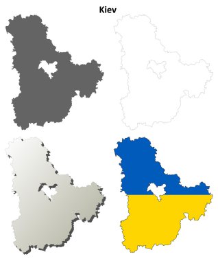
Kiev oblast blank outline map set

Ukraine National Emblem, Hand Drawn Trident Against Silhouette of Ukraine Map. Stand With Ukraine Poster

Vector map of the city of Kiev, Ukraine

Ukraine hand lettering and doodles elements background. Vector illustration

I love Ukraine. Stylish vector illustration for t-shirts, mugs, caps, posters, cards

High detailed Ukraine physical map with labeling.

Map of European Union with the identication of Ukraine. Map of Ukraine. Political map of Europe in gray color. European Union countries. Vector stock.
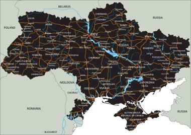
High detailed Ukraine road map with labeling.
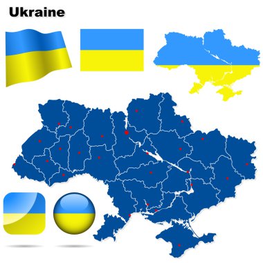
Ukraine vector set. Detailed country shape with region borders, flags and icons isolated on white background.

Ukraine Map - World Map International vector template with High detailed including black and grey outline color isolated on transparent background - Vector illustration eps

Simple vector pastel map with black borders and names of districts of Kiev/Kyiv, Ukraine

Ukraine - detailed country map with cities and regions. Infographic icons. Vector illustration

Ukraine administrative map isolated on white. No text. Vector illustration.

Colorful Ukraine political map with clearly labeled, separated layers. Vector illustration.

Ukraine and Russia military conflict. Map of Ukraine with military hotspots. War and aggression concepts. Geopolitical crisis. Independence and sovereignty of country. Cartoon flat vector illustration

Administrative divisions of Ukraine

Abstract waving flag and mosaic map of ukraine. Creative background for patriotic holiday card design. National Poster. Cover, banner in state colors of Ukraine. Vector design

Ukraine country map icon vectors illustration symbol design

3d map of cities and roads in Europe. Countries and their neighbors.

Ukraine map with areas in flat, vector illustration

Ukraine - highly detailed blue map. Vector illustration

Vector icon Ukraine map. Stock illustration Ukrainian district map in flag colors clipart

Vector icon Ukraine map. Stock illustration regions Ukraine district map silhouette
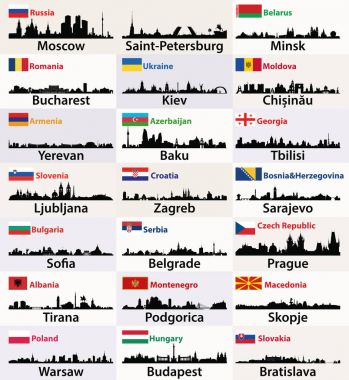
Vector silhouettes of East European cities skylines with countries flags

Ukraine - detailed blue country map with cities, regions, location on world map and globe. Infographic icons. Vector illustration

Ukraine Map on retro poster with long shadow. Vintage sign easy to edit, manipulate, resize or colorize.

Map of Kiev Oblast with major cities and roads, including city of Kiev

Ukraine administrative color map puzzle

Ukraine map icon vector illustration symbol design

Detailed map of Ukraine administrative divisions with country flag and location on the globe. Vector illustration

Ukraine administrative map. Vector illustration.

Blue ukrainian map with regions . concept of land, education, trip, detail cartography. The country of Ukraine.

Russia against Ukraine map

Abstract Ukraine map polygon style. Background with connecting dots and lines. Graphic concept for your design

Kiev Ukraine Map in Retro Style. Vector Illustration. Outline Map.

The detailed map of Ukraine with regions or states. Administrative division. Crimea, part of Donetsk and Lugansk regions is marked as a disputed territory
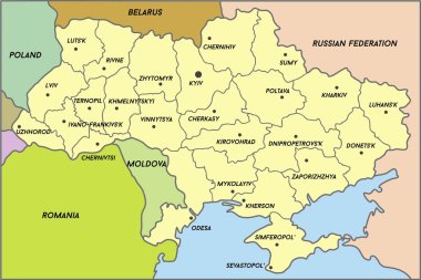
Map of Ukraine (subdivisions of Ukraine), vector

Map of Ukraine - High Detailed Vector Illustration

Vector map of the city of Kiev, Ukraine

Map of Ukraine, detailed outline of the country on a gray background. Vector illustration

Administrative divisions of Ukraine

High detailed Ukraine physical map with labeling.

Minimalistic Map of Kyiv, Ukraine - Vector

Ukraine map - High Detailed Vector Illustration

Map of European Union and indication of Ukraine- concept of negotiation with UE

Vector map of ukraine isolated on black

Map of ukraine. High detailed vector map - ukraine.
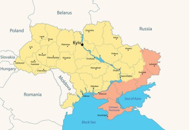
Ukraine, administrative map with occupied territories by Russia, as of January 2024. Vector illustration

Kyiv. Region location within Ukraine 3d isometric map

Ukraine infographics, statistical data, sights. Vector illustration

High quality Map Kiev City. vector illustration

Detailed Cut Map of Ukraine Isolated on White Background in Shades of Grey. Modern Flat Design. Vector Illustration

Ukraine political map - vector map

Detailed vector map of Kyiv, Ukraine. Kyiv or Kiev is the capital and most populous city of Ukraine. It is in north-central Ukraine along the Dnieper River.

Administrative and political vector map of Ukraine in Ukrainian language with flag

The detailed map of the Ukraine with regions or states and cities, capital. Administrative division. Crimea, part of Donetsk and Lugansk regions is marked as a disputed territory

High Quality map of Kiev is a city in Ukraine, with borders of districts

River map vector illustration. Dnieper river map, Kyiv city, Ukraine. Watercourse, water flow, blue on grey background road map. Detailed silhouette.

Stock Vector Illustration: Map of Ukraine with Ukrainian ethnic ornament

High detailed Ukraine road map with labeling.

The detailed map of the Ukraine with regions or states and cities, capital. Administrative division. Crimea, part of Donetsk and Lugansk regions is marked as a disputed territory

Ukraine - detailed blue country map with cities and regions. Vector illustration.

Ukraine map. european countries vector detail map

Ukraine map. Silhouette of Ukrainian territory. Ukraine country border. Vector set.

Blue-gray detailed map of Ukraine and administrative divisions and location on the globe. Vector illustration

Low Poly map of Ukraine. Ukraine geometric polygonal, mosaic style map.

The Ukraine administrative map with labels, Europe
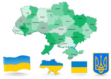
Administrative divisions of Ukraine. Vector. Flag and Coat of arms.

Ukraine map line, linear thin vector. Ukraine simple map and flag.

Ukraine - Highly detailed editable political map with labeling.

Map of Ukraine in the flat style with decorative elements

Ukraine - blue map with neighboring countries and names. Vector illustration

Ukraine highly detailed vector map with administrative regions, main cities and roads.

Highly detailed editable political map with separated layers. Ukraine.

The detailed map of the Ukraine with regions or states and cities, capital. Administrative division. Crimea, part of Donetsk and Lugansk regions is marked as a disputed territory

Highly detailed editable political map with separated layers. Ukraine.
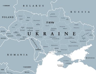
Ukraine, administrative divisions, gray political map. Country and unitary state in Eastern Europe, with capital Kyiv (Kiev). Country subdivision, with administrative centers. Illustration over white.

Map color line icon. Border of the country. Pictogram for web page, mobile app, promo. UI UX GUI design element. Editable stroke.

Vector map of the city of Kiev, Ukraine

Detailed map of Ukraine with region borders and city capitals. Ukraine UA country map isolated Vector illustration EPS 10

Abstract rounded World Map with pinned detailed Ukraine map. Map and flag of Ukraine. Vector Illustration.

Map of Ukraine - High Detailed Vector Illustration

Black map of Ukraine

Vector map of the city of Kiev, Ukraine

Ukraine is a sovereign state in Eastern Europe.