
3d map of Lazio is a region of Italy

Map of Italia. hand drawn illustration. 20 regions.
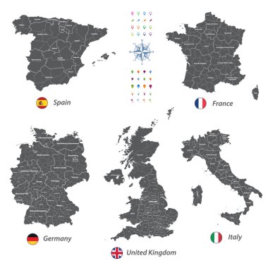
High detailed vector maps of United Kingdom, Italy, Germany, France and Spain
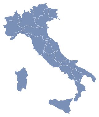
Vector map of Italy

Satellite map of Province of Viterbo towns and roads, buildings and connecting roads of surrounding areas. Lazio region, Italy. Map roads, ring roads

Lazio region blank outline map set

Minimalistic Rome city map poster design.
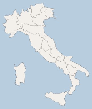
Vector map of Italy

Vector Political Map of Italy with full Region and Provinces Boundaries, completed with Italian and EU flags.

Illustration of italy province and region maps

Illustration set of italy province and region maps

The grayscale map of Tuscany region with labels on white background

Italy outline map vector

Silhouette and colored map of Italy regions

Illustration set of italy province and region maps

The black and white maps of Italy regions
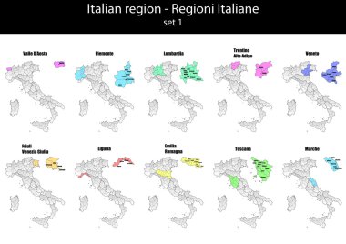
Illustration set of italy province and region maps

Lazio outline map isolated on white background, Italy

Molise administrative and political map with flag, Italy
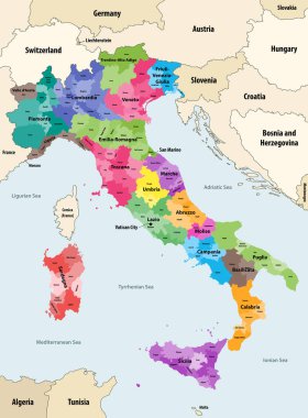
Italy provinces colored by regions vector map with neighbouring countries and territories

The Italian Republic is a unitary parliamentary republic in south-central Europe

Map of Italy

Vector Political Map of Italy with full Region and Provinces Boundaries, completed with flags and a 3d Globe of Earth centered on Italy.

High Quality map of Lazio is a region of Italy

The detailed map of the Italy with regions or states and cities, capital

Map of Italy divided into 20 administrative regions in four colors. White labels. Simple flat vector illustration.

Map of Italy divided into 20 administrative regions. Grey land, white borders and black labels. Simple flat vector illustration.

High quality colorful labeled map of Italy with borders of the regions

Map of Italy

Map of Italy

Color detailed road map, urban street plan city Rome and Florence with colorful neighborhoods and districts, Travel vector poster

Map of the Italian region of Tuscany

Illustration of italy city maps

Blank map of Italy divided into 20 administrative regions.
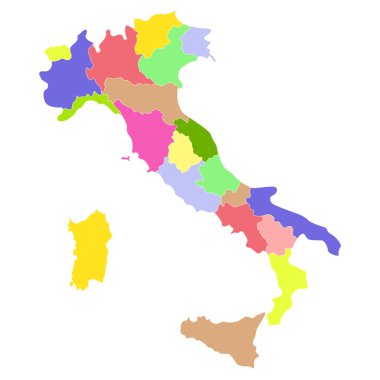
Italy map isolated on a white background. Vector illustration.
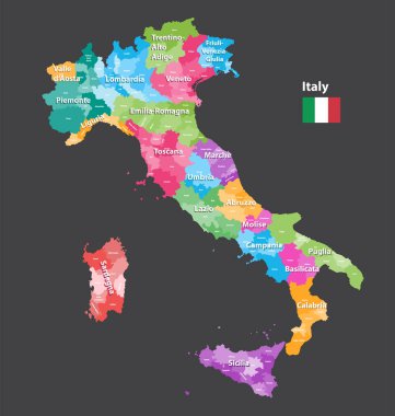
Vector Italy provinces map colored by regions. All layers detachable and labeled.

Regions of Italy. Map of regional country administrative divisions. Colorful vector illustration.

The detailed map of the Italy with regions

Lazio is an administrative region of Italy located on the central portion of the Italian Peninsula

Set Flags of the states of Italy, All Italian regions flag collection

Italy political map of administrative divisions - regions. Colorful spectrum political map with labels and country name.

The Lazio region map divided in provinces with labels, Italy
Map of Italy

Italy, officially the Italian Republic is a unitary parliamentary republic in Europe.

Illustration of italy province and region maps
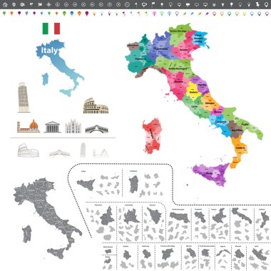
Vector Italy map colored by regions

Illustration of italy province and region maps om chalkboard

Map of Italy

Map of Italy

Map of Lazio in Italy

Map of Italy

Illustration of italy province and region maps om chalkboard

Vintage italy map with regions inscription sardinia, sicily, lazio, tuscany, liguria, marche, abruzzo, calabria, puglia, veneto trentino lombardy marche drawing on yellow paper

Map of Italy

Map of Italy

Italy map isolated on blue background. European country. Vector template for website, design, cover, infographics. Graph illustration.

Map of Italy

Map of Italy

Lazio region location within Italy 3d map

Map of Italy

Illustration of italy province and region maps

Illustration of italy province and region maps

Vector map of Italy province gray color
Map of Italy

Map of Italy

Illustration of italy province and region maps

Vector Political Map of Italy with full Region and Provinces Boundaries, completed with flags and a 3d Globe of Earth centered on Italy.

High detailed vector maps of United Kingdom, Italy, Germany, France and Spain

Map of Italy divided into 20 administrative regions in four shades of grey. White labels. Simple flat vector illustration.

Map of Italy

Illustration of italy province and region maps
Map of Italy

Map of Italy divided into 20 administrative regions. White land and black outline borders. Simple flat vector illustration.

Map of Italy

Vector illustration of the famous sausages from different regions of Italy

Abstract map of Italy isolated on white

The gray map of Italy regions with labels
Illustration of italy province and region maps

Map of Italy divided into 20 administrative regions in four shades of yellow. White labels. Simple flat vector illustration.

Grey Vector Political Map of Italy with full Region and Provinces Boundaries, completed with flags and a 3d Globe of Earth centered on Italy.

High detailed vector maps of United Kingdom, Italy, Germany, France and Spain

Illustration of italy province and region maps

Map and flag of Italy

Coat of arms of the state of Italy, All Italian regions emblem collection

Map of Italy
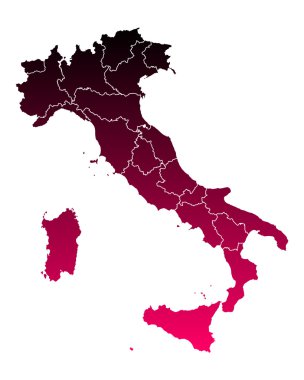
Map of Italy

Vector illustration of the famous sausages from different regions of Italy

Vector illustration of the famous sausages from different regions of Italy

Vector illustration of the famous sausages from different regions of Italy

All Flags provinces of Italy. Vector illustraion
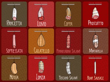
Vector illustration of the famous sausages from different regions of Italy

Vector illustration of the famous sausages from different regions of Italy

Vector illustration of the famous sausages from different regions of Italy

Rome blank detailed outline map set

All flags of the Italy regions. vector illustrations

Vector illustration of the famous sausages from different regions of Italy

Vector illustration of the famous sausages from different regions of Italy

Vector illustration of the famous sausages from different regions of Italy

Vector illustration of the famous sausages from different regions of Italy

Vector illustration of the famous sausages from different regions of Italy