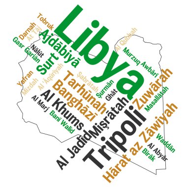
Libya map and words cloud with larger cities

The Mediterranean Sea, political map with subdivisions, straits, islands and countries. Connected to the Atlantic Ocean, surrounded by the Mediterranean Basin, almost completely enclosed by land.

Set of vector polygonal Libya maps. Bright gradient map of country in low poly style. Multicolored Libya map in geometric style for your infographics.

Vector street map of greek mediterranean island crete

Administrative and political vector map of greek mediterranean island crete
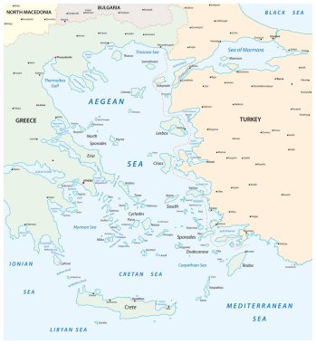
Map of the Aegean Sea, part of the Mediterranean between Greece and Turkey
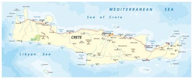
Vector street map of greek mediterranean island crete

Libya network map. Abstract polygonal map design. Internet connections vector illustration.

Libya map. Country poster with colored regions. Old grunge texture. Vector illustration of Libya with country name.

Libya round sign. Futuristic satelite view of the world centered to Libya. Country badge with map, round text and binary background. Astonishing vector illustration.

Crete, Greek island, political map, with capital Heraklion. Largest island of Greece and fifth largest in the Mediterranean Sea. With the major Minoan settlements Knossos, Phaistos, Malia and Zakros.

Libya polygonal map. Mosaic style maps collection. Bright abstract tessellation, geometric, low poly, modern design. Libya polygonal maps for infographics or presentation.

Map pin icons of national flags: morocco, south africa, tunisia, libya, algeria. White background.

Map pointers with flag and 3D effect on grey background - Libya

Crete, Greek island, gray political map, with capital Heraklion. Largest island of Greece and fifth largest in the Mediterranean Sea. With major Minoan settlements Knossos, Phaistos, Malia and Zakros.

Illustration for NATO's military operation in Libya
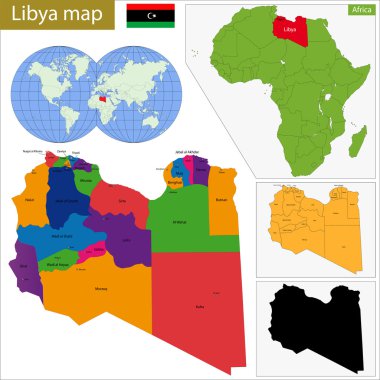
Administrative division of Great Socialist Peoples Libyan Arab Jamahiriya.

Grunge rubber stamp with the name and map of Libya

Map flag Libya

Libya flag in the middle of a heart ornament with original color

Map flag Libya

Map flag Libya

Vector black and white African continent illustration
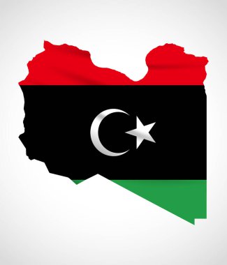
Libya Map Silhouette with National Flag Design

Libya Map Pin with National Flag on Open World Map.

Libya Location Highlighted on African Map with Flag Icon.

Libya political map of administrative divisions - districts. Grey blank vector editable map EPS.

Flag of Libya - vector illustration

Libya flag set design illustration template file format eps transparent, national flag set design template illustration vector design with shadow