
Liguria blank detailed outline map set
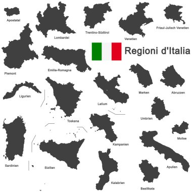
Silhouettes of european country Italia and the regions

Lazio, Liguria, Lombardy, Marche outline maps

Liguria region blank outline map set

Silhouettes of european country Italia and the regions

Illustration of italy province and region maps

Illustration set of italy province and region maps
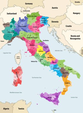
Italy provinces colored by regions vector map with neighbouring countries and territories

Map of Italy

Silhouette and colored map of Italy regions

Silhouettes of european country Italy and the regions

Illustration set of italy province and region maps
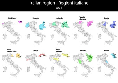
Illustration set of italy province and region maps

Administrative and political map of the metropolitan city of Genoa in the region of Liguria Italy

Piedmont region in northwest Italy, gray political map. Second largest Italian region with capital Turin bordering France, Switzerland, and regions Aosta Valley, Lombardy, Emilia-Romagna, and Liguria.

Road map italian cultural landscape of the Cinque Terre, Liguria

Silhouettes of european country Italy and the regions

The detailed map of the Italy with regions or states and cities, capital

High quality colorful labeled map of Italy with borders of the regions

Map of Italy

Map of Italy

The black and white maps of Italy regions

Map of the Italian region of Tuscany

Illustration of italy city maps

Blank map of Italy divided into 20 administrative regions.
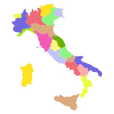
Italy map isolated on a white background. Vector illustration.

Piedmont region in northwest Italy, political map. Second largest Italian region with capital Turin, bordering France, Switzerland, and the regions Aosta Valley, Lombardy, Emilia-Romagna, and Liguria.

Liguria is one of the twenty administrative regions of Italy, in the northwestern of the country
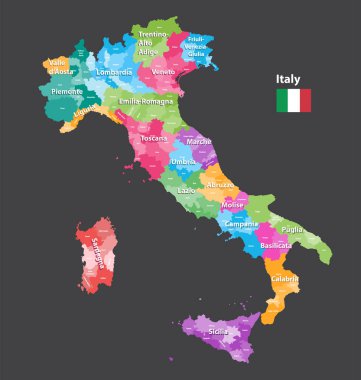
Vector Italy provinces map colored by regions. All layers detachable and labeled.

Regions of Italy. Map of regional country administrative divisions. Colorful vector illustration.

Liguria and the Italian Riviera, the Ligurian Riviera, political map. Region of north-western Italy, with capital Genoa. A narrow coastal strip between Ventimiglia and La Spezia, on the Ligurian Sea.

The detailed map of the Italy with regions

Set Flags of the states of Italy, All Italian regions flag collection

Coat of arms of the state of Italy, All Italian regions emblem collection
Map of Italy

Illustration of italy province and region maps
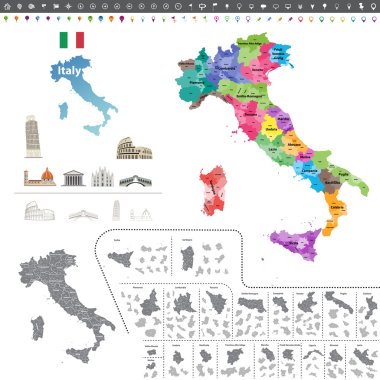
Vector Italy map colored by regions

Illustration of italy province and region maps om chalkboard

Map of Italy

Vector map of the city of Genova, Liguria, Italy, Europe

Map of Italy

Map of Italy

Map of Italia. hand drawn illustration. 20 regions.

Illustration of italy province and region maps om chalkboard

Silhouettes of european country Italy and the regions

Vintage italy map with regions inscription sardinia, sicily, lazio, tuscany, liguria, marche, abruzzo, calabria, puglia, veneto trentino lombardy marche drawing on yellow paper

Map of Italy

Silhouettes of european country Italy and the regions

Map of Italy

Map of Italy

Map of Italy

Map of Italy

Illustration of italy province and region maps

Illustration of italy province and region maps

Vector map of Italy province gray color
Map of Italy

Map Of Italy From Triangles - Vector Illustration - Infographic Element

Map of Italy

Illustration of italy province and region maps

Map of Italy

Illustration of italy province and region maps

Silhouettes of european country Italia and the regions
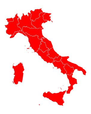
Map of Italy
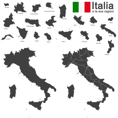
Silhouettes of european country Italia and the regions

Map of Italy

Vector illustration of the famous sausages from different regions of Italy

Abstract map of Italy isolated on white

The gray map of Italy regions with labels
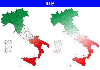
Illustration of italy province and region maps

Silhouettes of european country Italy and the regions

The detailed map of the Italy with regions or states and cities, capital. With sea objects and islands. And parts of neighboring countries

Illustration of italy province and region maps

Map and flag of Italy

Silhouettes of european country Italy and the regions

Map of Italy

Administrative map of the ligurian capital genoa with flag italy

Liguria map postage stamp
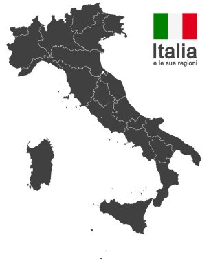
Silhouettes of european country Italy and the regions
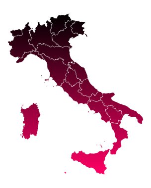
Map of Italy

Vector illustration of the famous sausages from different regions of Italy

Vector illustration of the famous sausages from different regions of Italy

Vector illustration of the famous sausages from different regions of Italy

All Flags provinces of Italy. Vector illustraion
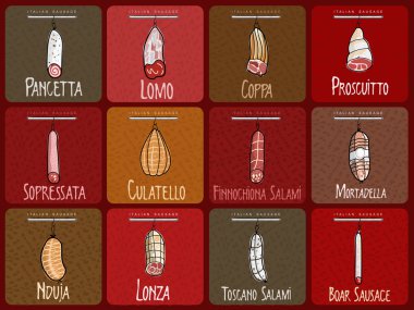
Vector illustration of the famous sausages from different regions of Italy

Vector illustration of the famous sausages from different regions of Italy

Vector illustration of the famous sausages from different regions of Italy

All flags of the Italy regions. vector illustrations

Vector illustration of the famous sausages from different regions of Italy

Vector illustration of the famous sausages from different regions of Italy

Vector illustration of the famous sausages from different regions of Italy

Vector illustration of the famous sausages from different regions of Italy

Vector illustration of the famous sausages from different regions of Italy

High Quality map Northwest region of Italy, with borders of the provinces

Genoa blank detailed outline map set on white

Vector illustration of the famous sausages from different regions of Italy

Liguria (Autonomous region of Italy) map vector illustration, scribble sketch Liguria map

Liguria outline map isolated on white background, Italy

Liguria (Autonomous region of Italy) map vector illustration, scribble sketch Liguria map

Map of the italian region Emilia Romagna map

Liguria, Italy, regional map and symbols of the region and cities, vector illustration