Description:
This Luzon map SVG vector presents a detailed outline of the island of Luzon, showcasing its geographical features in a scalable format. The image is available in SVG, ensuring high-quality resolution at any size. The flat design style provides clear visibility of borders and key areas. Perfect for educational materials, travel brochures, or geographical presentations. This vector is suitable for Cricut and other cutting machines, enabling versatile crafting applications. The image can be easily customized or integrated into various digital platforms. It is a practical asset for anyone looking to highlight Luzon’s significant locations.
Usage ideas:
This Luzon map vector can be utilized in various commercial and educational settings. Teachers can incorporate it into lesson plans about geography, while businesses might use it in marketing materials targeting Luzon. Graphic designers can create travel guides or promotional content that showcases Luzon's attractions. Websites focused on travel can feature the map for visitor information. Additionally, event planners can use this vector in invitations for events happening in Luzon, helping to visually represent the location for attendees.
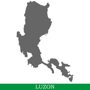
High quality map of Luzon is the island of Philippines
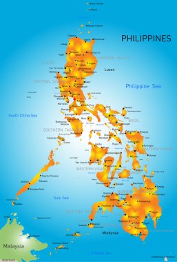
Vector color map of Philippines

High Quality map of Metropolitan Manila is a region of Philippines, with borders of the provinces
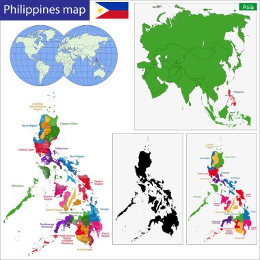
Map of Republic of the Philippines with the provinces colored in bright colors

Country map of the East Asian island nation of the Philippines

Metro Manila (Regions and provinces of the Philippines, Republic of the Philippines) map vector illustration, scribble sketch National Capital Region (NCR, Metropolitan Manila) map
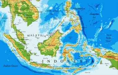
Highly detailed physical map of Indonesia,in vector format,with all the relief forms,countries and big cities

Vector map Philippines. Isolated vector Illustration. Black on White background. EPS 10 Illustration.

Country map of the East Asian island nation of the Philippines

Vector map Philippines. Isolated vector Illustration. Black on White background. EPS 10 Illustration.

Vector map Philippines. Isolated vector Illustration. Black on White background. EPS 10 Illustration.

Vector map flag of Philippines isolated on white background
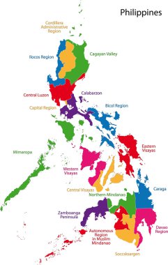
Map of Republic of the Philippines with the provinces colored in bright colors
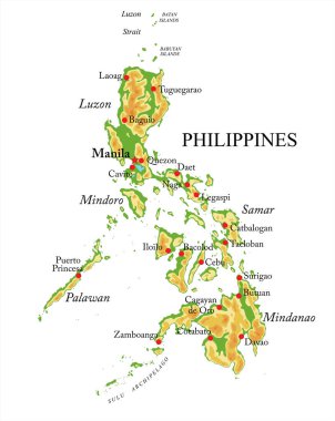
Philippines highly detailed physical map,in vector format,with all the relief forms,regions and big cities.

Taiwan Strait, political map. Important waterway and disputed international waters, separating the island of Taiwan and continental Asia, which connects the East China Sea and the South China Sea.
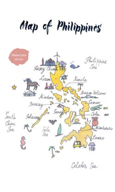
Map of attractions of Philippines, watercolor hand drawn, vector illustration
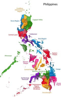
Map of Republic of the Philippines with eighty provinces

Republic of the Philippines - vector map

Philippines Political Map with capital Manila, national borders, most important cities, rivers and lakes. English labeling and scaling. Illustration.

Vector map Philippines. Isolated vector Illustration. Black on White background. EPS 10 Illustration.
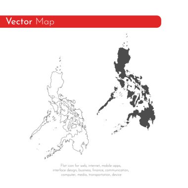
Vector map Philippines. Isolated vector Illustration. Black on White background. EPS 10 Illustration.

Taiwan Area, gray political map, with capital Taipei. Free Area of the Republic of China, ROC. Main Island and island groups of Taiwan, located between the East and the South China Sea. Illustration.
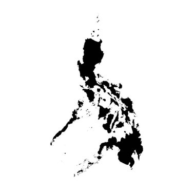
Vector map Philippines. Isolated vector Illustration. Black on White background. EPS 10 Illustration.

Philippines vector chalk drawing map isolated on a white background
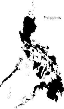
Black Philippines map separated on the departments

Manila administrative, political and road vector map, philippines

Vector map Philippines. Isolated vector Illustration. Black on White background. EPS 10 Illustration.
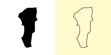
Manila map, Philippines, Asia. Filled and outline map designs. Vector illustration

High Quality map of Central Visayas is a region of Philippines, with borders of the provinces

Philippines political map of administrative divisions - regions. Grey blank vector editable map EPS.
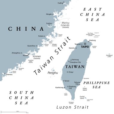
Taiwan Strait, gray political map. Important waterway and disputed international waters, separating the island of Taiwan and continental Asia, which connects the East China Sea and South China Sea.