
Malaysia country map polygonal with spot lights places
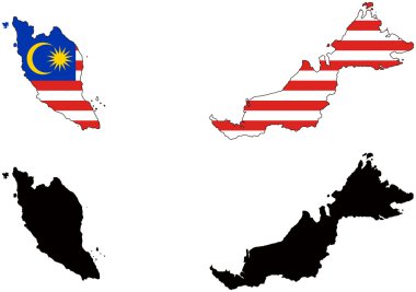
Layered editable vector illustration country map of Malaysia,which contains two versions, colorful country flag version and black silhouette version.

Travel and tourism background. Vector flat illustration

Asian countries set, maps and flags, Part 2
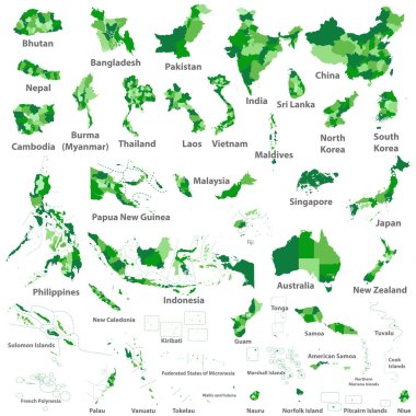
Asian, Australia and Oceania countries maps

Asia Map Highlighting Flags of Each Country

Malaysia map with shadow effect

Layered editable vector illustration silhouette country map of 44 asian countries.

Vector isometric maps set - Asia continent. Maps of Asian countries with administrative division and cities. Part 1.

Malaysia blank detailed outline map set

Vectors illustration of Capital of Malaysia Country

Malaysia flag bubble circle round shape icon colorful vector illustration

Malaysia highly detailed physical map,in vector format,with all the relief forms,regions and big cities.
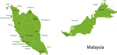
Malaysia map with states and capital cities

Malaysia Travel postcard, poster, tour advertising of world famous landmarks in paper cut style. Vectors illustrations
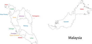
Outline Malaysia map with states

Malaysia map flag glass card paper 3D vector

Malaysia - vector map

Set of 25 high detailed silhouette maps of Asian Countries and territories, and map of Asia vector illustration.
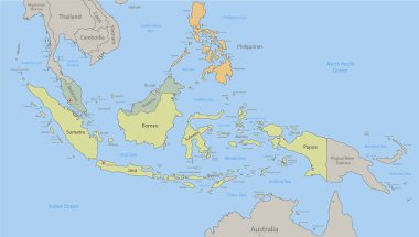
Indonesia, Malaysia, Philippines map and islands classic color, individual states and city whit names vector

Malaysia - detailed map of the country in brown colors, divided into regions. Vector illustration
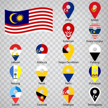
Sixteen flags the States of Malaysia- alphabetical order with name. Set of 2d geolocation signs like flags States of Malaysia. Sixteen 2d geolocation signs for your design. EPS10

Color map of Southeastern Asia divided by the countries
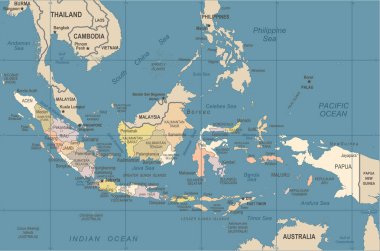
Indonesia Map - Vintage Detailed Vector Illustration

Indonesia Map - Vintage Detailed Vector Illustration

Vector map of Southeast Asia.
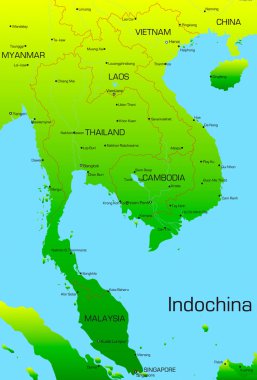
Vector map of Indochina countries

Map pointer with national flag of Malaysia logo. vector illustration

Southeast Asia, political map with borders. Subregion of Asia with countries south of China, east of India, west of New Guinea, north of Australia. Gray illustration on white background. Vector.

ASEAN Economic Community, AEC, map. Grey map with blue highlighted member countries, Southeast Asia. Vector illustration.

Asia map. Vector illustration.
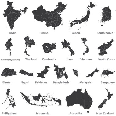
High detailed vector maps of asian countries, Australia and New Zealand

Country map of the East Asian island nation of the Philippines
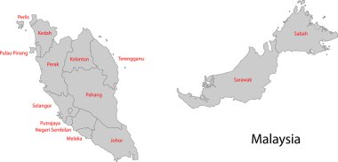
Map of administrative divisions of Malaysia

Indochina highly detailed physical map,in vector format,with all the relief forms,countries and big cities.
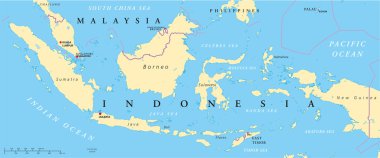
Political map of Malaysia and Indonesia with capitals Kuala Lumpur and Jakarta, with national borders and lakes. Vector illustration with English labeling and scaling.

Indonesia map, black and white detailed outline regions of the country. Vector illustration

Southeast Asia Map - Vintage Detailed Vector Illustration

Map of Southeast Asia. Vector map in shades of grey.

Southeast Asia Region. Map of countries in southeastern Asia. Vector illustration.

Vector map of East Asia Continent with Countries, Capitals, Main Cities and Seas and islands names in classic soft colors palette.
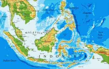
Highly detailed physical map of Indonesia,in vector format,with all the relief forms,countries and big cities
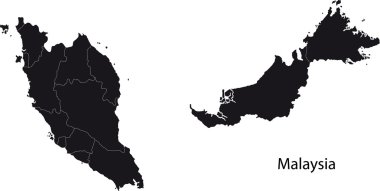
Malaysia map with states

South East Asia political map. Black outline on white background. Simple flat vector illustration.

Landmarks, Travel and Tourist Attraction

Indonesia Map - Detailed Vector Illustration

Southeast Asia map - brown orange hue colored on dark background. High detailed political map of southeastern region with country, ocean and sea names labeling.

Landmarks, Travel and Tourist Attraction

Asean Map dotted with Flags illustration, for background (AEC, AFTA, ASEAN), easy to modify

Country map of the East Asian island nation of the Philippines

Political map of Southeast Asia. Colorful hand-drawn cartoon style illustrated map with bathymetry. Handwritten labels of country, capital city, sea and ocean names. Simple flat vector map.

Southeast Asia Map - Vintage Detailed Vector Illustration

Southeast Asia map - white lands and grey water. High detailed political map of southeastern region with country, capital, ocean and sea names labeling.

World map with magnifying on Malaysia. Blue earth globe with Malaysia flag pin. Zoom on Malaysia map. Vector Illustration

Southeast Asia map - green hue colored on dark background. High detailed political map of southeastern region with country, capital, ocean and sea names labeling.

Southeast Asia Region. Colorful map of countries in southeastern Asia. Vector illustration.

Political map of Southeast Asia. Black outline hand-drawn cartoon style illustrated map with bathymetry. Handwritten labels of country, capital city, sea and ocean names. Simple flat vector map.
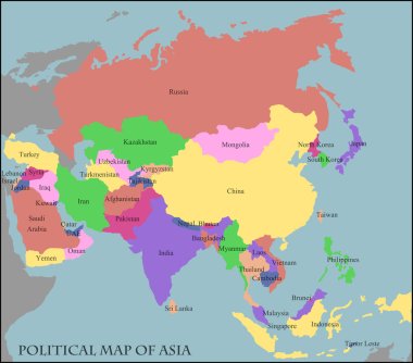
Illustration of a Political Map of Asia

Vector map of Australia, Oceania and South East Asian countries mixed with their national flags

Colorful Southeastern Asia map with countries and capital cities

Map of Malaysia with pin of country capital.

Vector map of the Malay Peninsula with main cities, Malaysia

City map Kuala Lumpur, travel vector poster design

Indonesia Map - Detailed Info Graphic Vector Illustration

Blank political map of western, southern and eastern Asia in grey. Simple flat vector illustration.

Indonesia Map - Vintage Detailed Vector Illustration

Travel and tourism background. Vector flat illustration

Vector road map of island Borneo, Kalimantan

Southeast Asia, political map with capitals and borders. Subregion of Asia with countries south of China, east of India, west of New Guinea, north of Australia. English labeling. Illustration. Vector.

Vector map of the states of southeast asia.

Maps collection countries of Asia, black contour maps of Asia. Vector set.
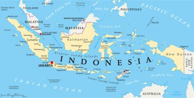
Indonesia political map with capital Jakarta, national borders and important cities. English labeling and scaling. Illustration.

South East Asia political map. Black outline on white background with black country name labels. Simple flat vector illustration.

Map of Southeast Asia. Vector map in shades of green.
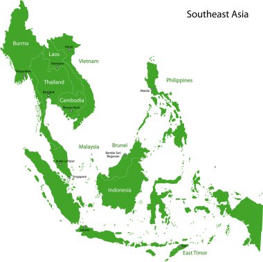
Southeastern Asia map with countries and capital cities

SouthEast Asia Map vector in blue. Gray similar map of SouthEast Asia blank vector on white background. Blue similar map with borders of all countries of SouthEast Asia. Eps 10

Map of Southeast Asia. Vector map in shades of turquoise blue.

Vector map of Malaysia with names of cities and with borders city

Vector map of Southeast Asia.

Stylized vector Malaysia map showing big cities, capital Kuala Lumpur, administrative divisions.
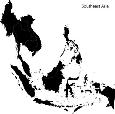
Black Southeastern Asia map with countries and capital cities
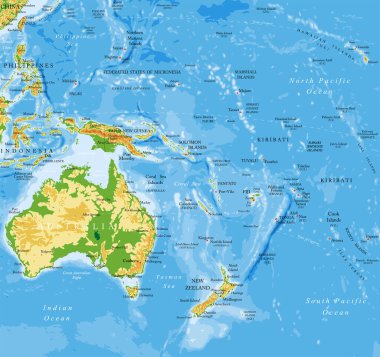
Oceania highly detailed physical map

East Asia, single states, political map. All countries in different colors, with national borders, labeled with English country names. Eastern subregion of the Asian continent. Illustration. Vector.

Political Asia Map vector illustration with countries in white color. Editable and clearly labeled layers.

High quality map of Asia with borders of the regions

Nation of Brunei vector map with flag

Blue-gray detailed map of Indonesia administrative divisions and location on the globe. Vector illustration

Political color map of Southeast Asia with borders of the states.

Low Poly map of Malaysia. Malaysia geometric polygonal, mosaic style map.

Southeast Asia Region. Map of countries in southeastern Asia. Vector illustration.

Vector map of East Asia Continent with Countries, Capitals, Main Cities and Seas and islands names in strong brilliant colors palette.

Association of southeast asian nations (ASEAN) map with flags

Administrative vector map of the indonesian part of borneo island, kalimantan, indonesia

Malaysia map with borders, cities, capital and administrative divisions. Infographic vector map. Editable layers clearly labeled.

ASEAN Economic Community, AEC, map. Grey map with green highlighted member countries, Southeast Asia. Vector illustration.

Southeast Asia Region. Map of countries in southeastern Asia. Vector illustration.

Indonesia map, administrative division with names regions, colors map isolated on white background vector

East Asia political map with countries and borders. Eastern subregion of the Asian continent with China, Japan, Mongolia and Indonesia. English labeling. Gray illustration on white background. Vector.

Hand drawn watercolor map of Asia isolated on white. Vector version

Association of Southeast Asian Nations. South East Asia Map with country names.