Description:
The Map of San Luis SVG vector showcases a detailed representation of the San Luis region. This vector graphic is designed in SVG format, allowing for scalability without loss of quality. Ideal for use in digital or printed formats, this clipart can be easily customized to fit different project requirements. The design features clear outlines and significant landmarks, providing a resourceful tool for educators, travelers, and graphic designers. It is compatible with various software applications, ensuring ease of use across platforms. The flat design style keeps the focus on the map's geographic elements. Perfect for a wide range of projects requiring geographic visualization.
Usage ideas:
This Map of San Luis SVG vector can serve multiple purposes in both commercial and educational contexts. For instance, travel agencies can use it in promotional materials to highlight tourist destinations. Educators can incorporate it into lesson plans on geography or history to enhance classroom engagement. Additionally, real estate websites may feature this vector in property listings that emphasize location. Marketers can utilize it in infographics related to regional demographics and statistics. Custom merchandise like mugs, posters, or t-shirts can be designed featuring this map, appealing to tourists. Furthermore, event planners can create navigational aids using the vector for local events.

High Quality map of San Luis Potosi is a state of Mexico, with borders of the municipalities

Urban vector city map of San Luis Potosi, Mexico
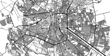
Urban vector city map of San Luis Potosi, Mexico
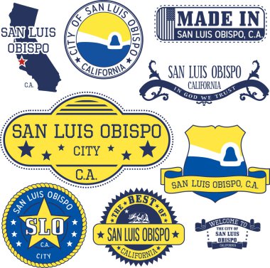
San Luis Obispo city, California. Set of generic stamps and signs.
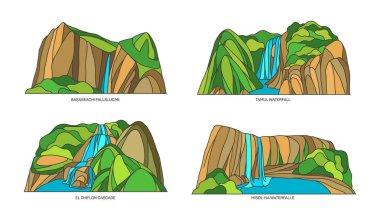
Set of landscape sights of Mexico. Mexican nature monuments. Basaseachic Falls and Tamul waterfall, El chiflon cascada or cascade, Misol Ha mountain. Natural symbols of north america, map signs
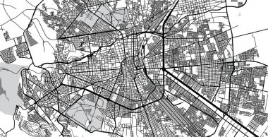
Urban vector city map of San Luis Potosi, Mexico
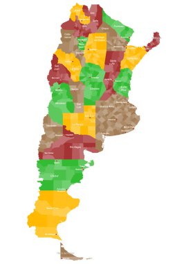
A large and detailed map of Argentina with all provinces and main cities.

San Luis province blank vector outline map set

San Luis Potosi Mexico Map black inverted silhouette

San Luis Potosi region location within Mexico 3d isometric map

San Luis Potosi (United Mexican States, Mexico, federal republic) map vector illustration, scribble sketch Free and Sovereign State of San Luis Potosi map
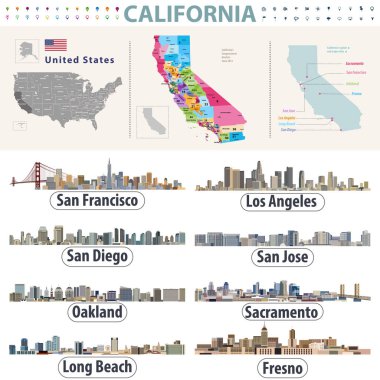
California's vector high detailed map showing counties formations. Skylines of major cities of California

High quality map with flag state of Mexico - San Luis Potosi

San Luis Potosi state blank outline map

A gray map of Mexico divided into provinces

Urban vector city map of San Luis Potosi, Mexico

Urban vector city map of San Luis Potosi, Mexico
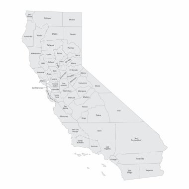
Map of the state of California and its counties
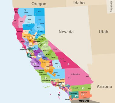
Vector high detailed map of California's Congressional districts since 2013

San Luis Obispo county, California. Set of generic stamps and signs including San Luis Obispo county map and seal elements.

San luas potosi Word Text with Handwritten Font Shape Vector Illustration.
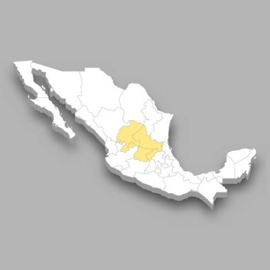
The Bajio region location within Mexico 3d isometric map

San Luis Potosi state blank outline map set

Symbol Map of the State San Luis Potosi (Mexico). Abstract map showing the state/province with a pattern of black and white squares like a chessboard

San Luis Potosi state blank contour map