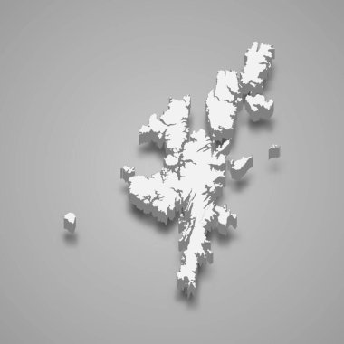
3d isometric map of Shetland Islands is a region of Scotland, vector illustration

Highly detailed Shetland Islands road map with labeling, United Kingdom

Contour of Scotland in grey and in flag colors
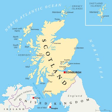
Independent Scotland political map with capital Edinburgh, national borders and important cities. Fictive map of Scotland as independent sovereign state after leaving United Kingdom. English labeling.

Scotland political map with capital Edinburgh, national borders and cities. Scotland is part of the United Kingdom and covers the northern third of the island of Great Britain. English labeling.
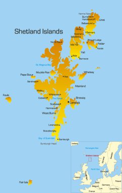
Vector color map of Shetland Islands

3d isometric map of Shetland Islands is an archipelago in Scotland, isolated vector illustration
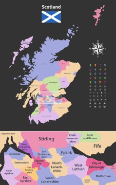
Vector map of Scotland unitary authorities with close up of region include city of Edinburgh and Glasgow city. Flag of Scotland. Navigation, location and travel icons

Map of the Shetlands with shadow

Flag and map of Shetland
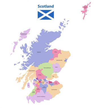
Vector map of Scotland unitary authorities

Shetland Islands (Scotland) blank outline map set
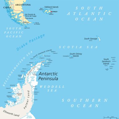
Antarctic Peninsula area, political map. From southern Patagonia and Falkland Islands, to South Georgia and the South Sandwich Islands, South Orkney Islands, and Drake Passage, to Antarctic Peninsula.

Shetland islands road map, Scotland, United Kingdom
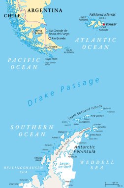
Drake Passage, political map. Mar de Hoces, Hoces Sea, body of water between Cape Horn and Antarctica Peninsula. Connect South Atlantic Ocean with South Pacific Ocean, extends into Southern Ocean.

High detailed Scotland road and nationalpark map with labeling
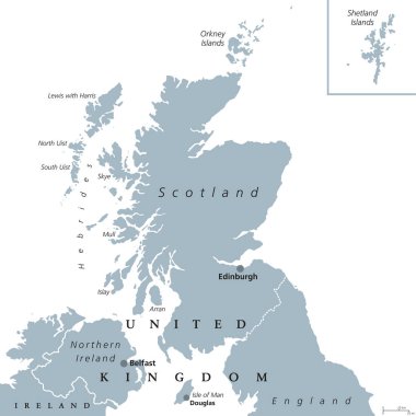
Scotland political map with capital Edinburgh. Country and part of the United Kingdom. Covers the northern third of the island of Great Britain. Gray illustration over white. English labeling. Vector.

Scotland Flag with Isle of Skye sign

Scotland Flag with Isle of Man sign

Antarctic Peninsula area, gray political map. From southern Patagonia and Falkland Islands, to South Georgia, and the South Sandwich Islands, and to South Orkney Islands, and Antarctic Peninsula.