Description:
This Mashhad Tabriz SVG vector captures the essence of traditional Iranian artistry, showcasing detailed patterns and motifs commonly found in Persian rugs. Rendered in a scalable vector format, it ensures high-quality graphics for various applications. The design is suitable for use in both print and digital media, allowing for customization without loss of clarity. With a focus on authenticity, this SVG serves as a versatile element for projects needing a touch of cultural richness. It can be effortlessly integrated into multiple design environments, enhancing visual appeal.
Usage ideas:
This vector can be utilized in various commercial and educational applications, such as creating unique textile patterns for fashion items or home decor products like cushion covers and wall hangings. It's also applicable in digital platforms, including websites or e-learning materials focused on cultural studies. Graphic designers may use it to craft brochures or promotional materials highlighting Persian art and heritage. Furthermore, event planners can incorporate these designs into invitations or themed decor for gatherings celebrating Iranian culture.

Detailed Iran administrative map with country flag and location on a blue globe. Vector illustration
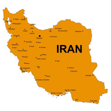
Iran Detailed Map Isolated on White Background. Vector Illustration
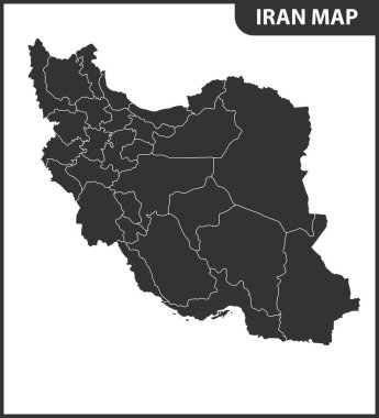
The detailed map of Iran with regions or states. Administrative division.
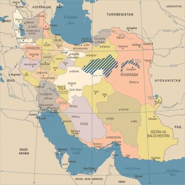
Iran Map - Vintage High Detailed Vector Illustration
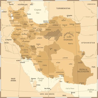
Iran Map - Vintage High Detailed Vector Illustration
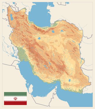
Physical map of Iran Retro Colors. No text. Image contains layers with shaded contours, land names, city names, water objects and it's names.
Peace Sign of the Iranian flag
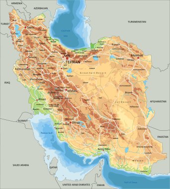
High detailed Iran physical map with labeling.
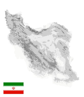
Iran Physical Map White and Gray Colors Isolated On White. No text. All elements are separated in editable layers clearly labeled. Vector illustration.

Iran map and flag - High Detailed Vector Illustration

Iran Map -Vintage High Detailed Vector Illustration
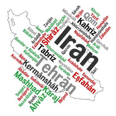
Map of Iran and text design with major cities

The detailed map of Iran with regions or states and cities, capital. Administrative division.

Highly Detailed Physical Map of Iran. Image contains layers with shaded contours, land names, city names, water objects and it's names, highways.

High detailed vector map. Iran. New Map 2023

Iran Physical Map White and Gray Colors. No text. All elements are separated in editable layers clearly labeled. Vector illustration.

Vector detailed map of Iran country

Cities in Iran. Famous places of big cities

Vector detailed map of Iran country
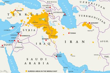
Kurdish areas in the Middle East, political map. Countries with their capitals, national borders and important cities. Kurdish areas in orange color. Illustration with English labeling. Vector.

Physical map of Iran Old Colors. Image contains layers with shaded contours, land names, city names, water objects and it's names.