Accurate map of Maui

Map of Maui

Hawaii blank outline map set

Maui badge. Map of the island with beautiful geometric waves and vibrant red blue frame. Vivid round Maui logo. Vector illustration.

Map of Maui

Map of Maui

Hawaii vector map high detailed silhouette illustration isolated on white background.

Vector map of the U.S. state of Hawaii with Flag

Map of Hawaii state designed in illustration with the counties and the county seats

Maui icon. Island map on dark background. Stylish Maui map with island name. Vector illustration.

Hawaii is the 50th and most recent state of the United States of America. It is the northernmost island group in Polynesia

Map of the Hawaii islands. All objects are independent and fully editable.

Hawaii vector map high detailed silhouette illustration isolated on blue background. Island archipelago.

Hawaii vector map high detailed silhouette illustration isolated on blue background. Island archipelago.

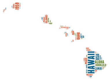
Hawaii USA state map vector tag cloud illustration

Illustration of State of Hawaii, USA

Hawaii vector map high detailed silhouette illustration isolated on white background.

Hawaii, state of USA - solid black outline map of country area. Simple flat vector illustration.

Accurate map of Maui

Map of Maui

Map of Maui

Map delineation of the territory of Hawaii. High accuracy. Vector eps10

Map delineation of the territory of Hawaii. High accuracy. Vector eps10

Hawaii state map contour. In style of USA flag.