Hawaiian Islands, political map. Archipelago of eight major volcanic islands, several atolls and numerous smaller islets in the North Pacific Ocean, extending from Island of Hawaii to the Kure atoll.

Hawaii text sign illustration on white background

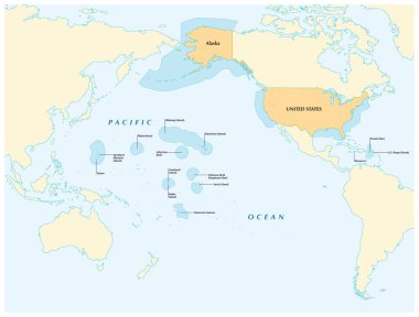
Insular area vector map of the United States.

Maui text sign illustration on white background

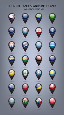
White map markers with flags -countries and islands in Oceania. Vector EPS10 illustration

Maui text sign illustration on white background

Maui text sign illustration on white background

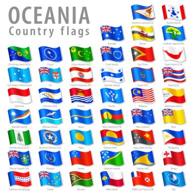
Vector Collection of all Oceanian National Flags, in simulated 3D waving position, with names and grey shadow. Every Flag is isolated on its own layer with proper naming.

Oahu text sign illustration on white background

United States, California, San Fransisco travel landmark line vector illustration