
Map of The United States of America (USA) State of Montana - Illustration on White Background.
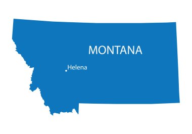
Blue map of Montana with indication of Helena

Map of montana. map concept

Montana, state of USA - solid black outline map of country area. Simple flat vector illustration.

Montana map icon. Montana icon vector

Black outline of Montana map- vector illustration

Montana map. Us state poster with colored regions. Old grunge texture. Vector illustration of Montana with us state name.

Montana. American state. Lettering. Modern brush ink calligraphy. Isolated on white background. Hand drawn vector illustration.

Montana State dark silhouette map isolated on white background

Map of the U.S. state of Montana

Montana state map. US state map. Montana outline symbol. Vector illustration

Montana blank outline map set
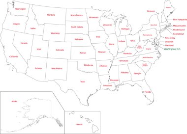
Outline USA map with states
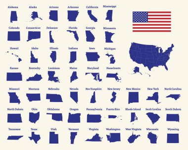
Outline map of the United States of America. 50 States of the USA. US map with state borders. Silhouette of the USA and flag. Vector illustration.

Black outline of USA map

Map of the U.S. state of Montana. outline map of Montana.
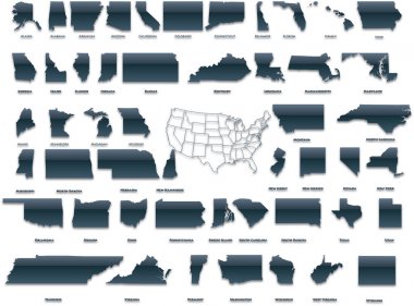
United States of America set in a nice plastic version.

Colorful Countryside Mountain Ridges and Pine Fores - Vector illustration

Montana road vector map
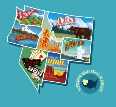
Illustrated pictorial map of Northwest United States. Includes Washington, Oregon, Idaho, Montana, Wyoming, Nevada and Utah. Vector Illustration.

Set of two black labels with Bellis perennis aka daisy and Atropa belladonna aka belladonna sketch. Hand drawn sketch. Herbal collection. Great for traditional medicine, or gardening.
Vintage Montana USA State letterng logo vector illustration with watercolor elements.. Bearhat Mountain rises above Hidden Lake in Glacier National Park, Montana, USA
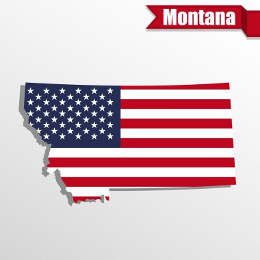
Montana State map with US flag inside and ribbon
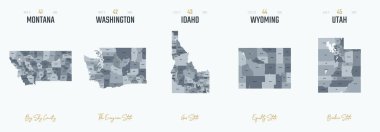
Vector set 9 of 10 Highly detailed silhouettes of US state maps, divided into counties with names and territory nicknames
USA Map Silhouette on white background

Montana map shape, united states of america. Flat concept icon symbol vector illustration .
Highly detailed vector silhouettes of US state maps, Division United States into counties, political and geographic subdivisions of a states, Mountain - Nevada, Utah, Arizona - set 15 of 17
Detailed map of Usa
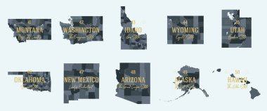
Set 5 of 5 Division United States into counties, political and geographic subdivisions of a states, Highly detailed vector maps with names and territory nicknames

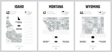
41 of 50 states of the United States with a name, nickname, and date admitted to the Union, Detailed Vector Montana Map for printing posters, postcards and t-shirts
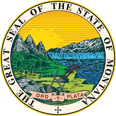
Official current vector great seal of the Federal State of Montana, USA

A large and detailed map of the State of Montana with all counties and main cities.

Vintage vector round label. Montana. Rocky Mountains

Montana Logo. Map of Montana with us state name and flag. Modern vector illustration.

Road map of the US American State of Montana
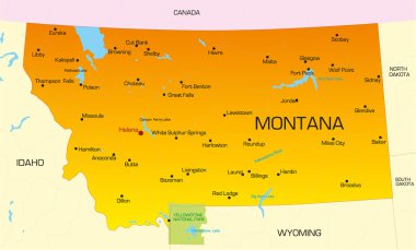
Vector color map of Montana state. Usa

Montana state detailed editable map with cities and towns, geographic sites, roads, railways, interstates and U.S. highways. Vector EPS-10 file, trending color scheme
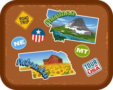
Montana, Nebraska travel stickers with scenic attractions and retro text on vintage suitcase background

Road map of the US American State of South Dakota
USA map with the indication of The State of Kansas

Mississippi, Montana, Maryland, Missouri state names distorted into state outlines. Pop art style vector illustration for stickers, t-shirts, posters and social media.

North dakota road vector map with flag

Vector map of the Great Plains Region in North America

Roads, political and administrative map of the Western United States of America

Map of USA with indication of State of Montana

2017 Solar Eclipse Totality across America USA numeral and text color vector illustration
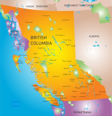
Vector british columbia province map

British Columbia province vector editable map of the Canada with capital, national borders, cities and towns, rivers and lakes. Vector EPS-10 file

United States of America set in a nice glossy version.
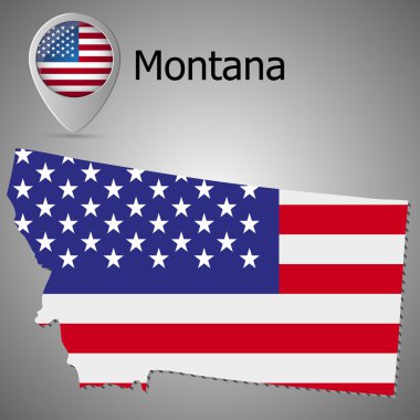
Montana State map with US flag inside and Map pointer with American flag

Map of USA with the indication of State of Oklahoma
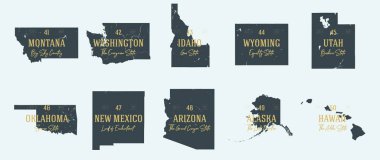
Set 5 of 5 Highly detailed vector silhouettes of USA state maps with names and territory nicknames

Vector Idaho Map silhouette. Isolated vector Illustration. Black on White background.

Single color United States map with names on a gray background
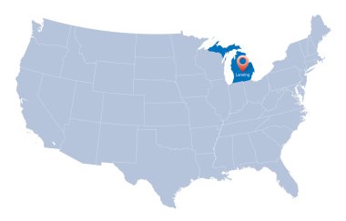
USA map with the indication of Sate of Michigan
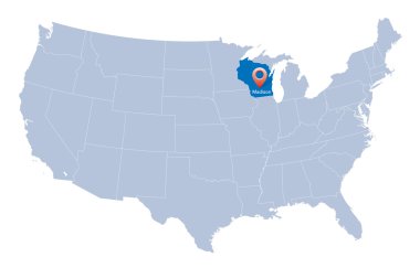
Map of USA with the indication of Wisconsin state

Map of USA with the indication of State of Nevada and Carson City

Blue map of the USA in origami style
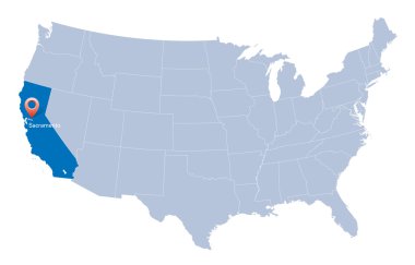
Map of USA with the indication of State of California and Sacramento

Map of USA with the indication of State of Colorado and Denver
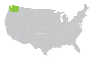
USA map with the indication of State of Washington
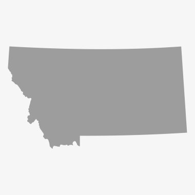
Map the State of Montana in gray on a white background
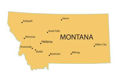
Yellow map of Montana with indication of largest cities

Map of USA with the indication of Washington state
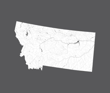
U.S. states - map of Montana. Hand made. Rivers and lakes are shown. Please look at my other images of cartographic series - they are all very detailed and carefully drawn by hand WITH RIVERS AND LAKES.

Set of two labels with Bellis perennis aka daisy and Atropa belladonna aka belladonna or deadly nightshade sketch. Hand drawn sketch. Herbal collection. Great for traditional medicine, or gardening.

Detailed map of Usa

Map of the USA. Image with clipping path and name of states. State mark. Montana. Vector illustration.
USA map with the indication of the State of New York
USA map with the indication of the State of Georgia
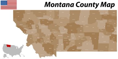
A large and detailed map of the State of Montana with all counties and main cities.
USA map with the indication of the State of Ohio
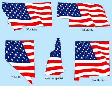
Montana, Nebraska, Nevada, New Hampshire and New Mexico outlines with flags, each individually grouped

United States of America isolated map and Montana State territory. vector USA political map. geographic banner template

Set of two labels with Arnica montana aka or mountain arnica and Centaurea cyanus aka cornflower or bachelor button. Hadn drawn sketch. Herbal collection. Great for traditional medicine, or gardening.

Billings skyline linear style with rainbow in editable vector file

Map of USA with the indication of State of Ohio

2017 Solar Eclipse Totality across America USA numeral and text on sun rays background color vector illustration

The detailed map of the USA including Alaska and Hawaii. The United States of America

Blue USA map- crystal like

The detailed map of the USA including Alaska and Hawaii. The United States of America with the capitals and the biggest cities

Map of USA with the indication of State of Texas and the capital

Bisons collection - vector

Detailed map of Usa

Montana map isolated on white background silhouette. montana USA state. American flag. Vector illustration

USA map with arrows

The detailed map of the USA with regions. United States of America.

USA map with the indication of State of Nebraska and Lincoln
Nine United States Buttons

USA map with the indication of State of Kansas and Topeka town

One continuous line drawing of strong north american bison for conservation forest logo identity. Big bull mascot concept for national park. Dynamic one line draw design illustration vector graphic

Highly detailed three dimensional map of USA with regions border. United States of America.

Map of USA with the indication of State of Georgia and Atlanta city

Map of the State of Montana and American flag illustration. America Flag map - vector illustration.
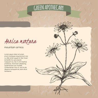
Arnica montana aka mountain tobacco or mountain arnica sketch. Green apothecary series. Great for traditional medicine, or gardening.

Map of USA with the indication of State of Arizona and Phoenix

USA map with the indication of State of Montana and Helena town

2017 Total Solar Eclipse across America USA map color vector illustration

Roads, political and administrative map of the Western United States of America with National Parks

Montana MT State Border USA Map Outline