
Detailed vector poster city map Munich

Munich map. Detailed vector map of Munich city administrative area. Poster with streets and water on grey background.

Simple gray vector map with white borders of boroughs (Stadtbezirke) of Munich, Germany

Urban city map of Munich. Vector illustration, Munich map grayscale art poster. Street map image with roads, metropolitan city area view.

Munich colored vector map

Vector map of the city of Munich, Bavaria, Germany
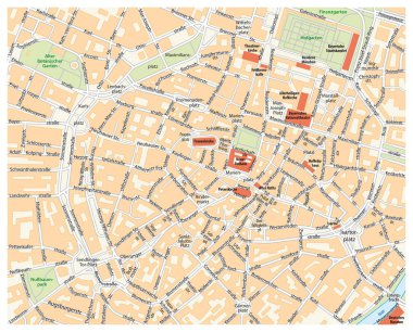
Vector city street map of Munich, Germany.

Bavaria outline map set - vector version

Munich map. Detailed vector map of Munich city administrative area. Dark poster with streets on white background.

Munich city plan, detailed vector map

Munich Germany Travel Doodle with Munich Architecture, Lion and Flag. Vector illustration

Highly detailed road map of Germany with GPS pin pointers set. Vector illustration contains: land outlines, states and land names,town names,roads(highways) and railroads

Design vector map city

Germany - detailed blue country map with cities, regions, location on world map and globe. Infographic icons. Vector illustration
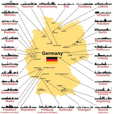
Germany vector map with states capitals and largest citites skylines silhouettes on white background
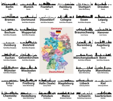
Germany map with largest cities skylines silhouettes vector set

Large detailed road map of Germany with topographic contours, all cities, villages, water objects, mountains and airports.

Large detailed road map of Germany with all cities, villages, water objects, mountains and airports.

Germany Map - Icons - detailed vector illustration

High detailed Germany physical map with labeling.

High detailed Germany physical map.

High detailed Germany road map with labeling. White.

Vector illustration - map of Germany.

Germany grey map with regions. Vector illustration.

Map of Germany and flag - highly detailed vector illustration. Image contains land contours, country and land names, city names, water objects, flag, navigation icons, roads, railways.

High detailed Germany physical map.

High detailed Germany physical map with labeling.

High detailed Germany road map with labeling. White.

Germany map - high details vector illustration

Germany infographic map and flag - vector illustration
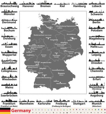
Germany map with state capitals and largest cities skylines silhouettes

Germany map with state capitals cities skylines vector illustration. All layers are labelled, editable and well organized

Germany road and highway map. Vector illustration.

Map Free State of Bavaria on transparent background. Bavaria map with districts in gray for your web site design, logo, app, UI. Land of Germany. EPS10.

Map Germany

Germany political map divide by state colorful outline simplicity style.

Bavaria is a federal state of Germany

Handdrawn map of Germany with main symbols and lettering of main cities. Poster design or postcard illustration.

Vector detailed color Germany map

Black and white map of Germany

Map contains topographic contours, country and land names, cities, water objects, flag, roads, railways.

Map of germany with all cities over one hundred thousand inhabitants in german language

Vector detailed color Germany map

High detailed Germany physical map.

Germany - Highly detailed editable political map with separated layers.

Germany map icon of Bavaria, geography blank concept, isolated graphic background vector illustration .

Administrative and political map of Germany newly revised 2019 in black and white

Road and administrative map of the bavarian capital munich

Vector color detailed map of Germany with administrative divisions of the country, each federal states is presented separately in highly detailed and divided into regions

Vector illustration of Germany high detailed map with largest cities skylines icons. All layers are labelled, editable and well organized

Colorful Germany political map with clearly labeled, separated layers. Vector illustration.

Illustrated map of Germany with labels. Vector, colorful hand drawn style.

Map of Bavaria with borders in gray

A detailed, colorful map of Germany with all counties and big cities.

Germany - Highly detailed editable political map with separated layers.

Map of Germany - high details vector illustration
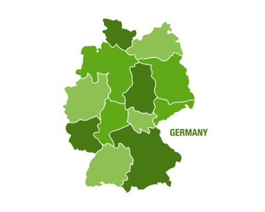
Vector illustration of a green Germany map

This vector map of the German State of Bavaria includes 6 editable layers for each of the 5 administrative levels (municipalities, municipalities associations, subdistricts, districts, state) and the background

High detailed Germany physical map with labeling.
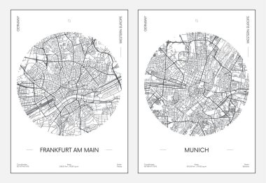
Travel poster, urban street plan city map Frankfurt am Main and Munich, vector illustration

Blank map Germany. High quality map of Germany with borders of the regions. Stock vector. Vector illustration EPS10.

The detailed map of the Germany with regions or states and cities, capitals.

Colorful Germany political map with clearly labeled, separated layers. Vector illustration.

Germany - Highly detailed editable political map with separated layers.

Map of Germany with separated landers with labels. Vector, colorful hand drawn style.

Illustrated map of Germany with labels. Vector, colorful hand drawn style.

Map of Germany - high details vector illustration

Map of Bavaria with main cities in green

Monochrome contour map with city names

Germany - doodle map with famous places: Berlin, Hamburg, Cologne, Frankfurt, Stuttgart, Munich and Alps

Germany Map. Zoom on World Map. 4k Stock Video Footage. Motion Graphics. Vector Stock Illustration

Germany map of gray contour curves of vector illustration.

Monochrome vector Germany map
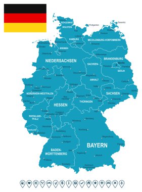
Map of Germany and flag - highly detailed vector illustration. Image contains land contours, country and land names, city names, flag, navigation icons.
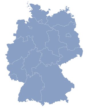
Vector map of Germany each division can be edited

Germany Political Map with capital Berlin, national borders, most important cities, rivers and lakes. English labeling and scaling. Illustration.

Germany map line, linear thin vector. Germany simple map and flag.

Germany Map - White and Grid - detailed vector illustration

Vector set of Germany largest cities skylines icons in tints of blue color palette. Map and flag of Germany

Outlined Germany map country silhouette vector drawing template for your design.

Germany Map - Color Grid - detailed vector illustration

Map of Bavaria with main cities in green

Germany Map - Blue Green Gray Isolated on White - detailed vector illustration

Germany map and flag - vector illustration

Political vector map of Germany with regions and their capitals. All layers detachabel and labeled.

3d vector map of Germany each division can be edited

Germany Map - Blue Orange Gray - detailed vector illustration

Germany dark silhouette map isolated on white background

The detailed map of the Germany with regions or states and cities, capitals

Germany Map - Yellow - detailed vector illustration

Germany map - high details vector illustration

Black abstract map of Germany

Germany - detailed blue country map with cities and regions. Vector illustration.

Germany map and flag - vector illustration

Illustrated map of Germany with labels. Isolated vector, hand drawn style. Blue color

Funny Hand drawn Cartoon Germany map with most popular places of interest. Vector illustration

Grey map of Germany