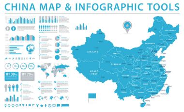
China Map - Detailed Info Graphic Vector Illustration

Moder map of China

The detailed map of China with regions or states and cities, capitals. With map pins or pointers. Place location markers or signs
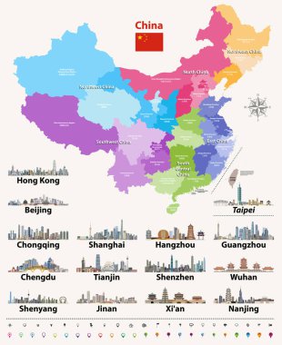
Vector map of China provinces colored by regions.

Urban vector city map of Nanjing, China

Vector map of China with largest chinese city skylines. Navigation, location and travel icons

China map and flag - highly detailed vector illustration

Vector China map with largest chinese city skylines
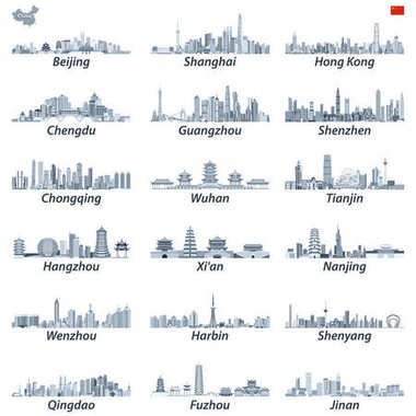
Vector high detailed illustration of chinese largest city skylines in tints of blue color palette with map and flag of China

Vector set of abstract chinese largest city skylines in brightful color palette with map and flag of China; navigation, location and travel icons
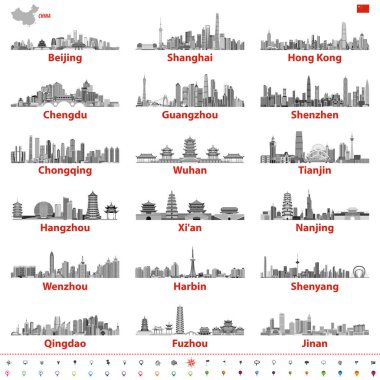
Vector set of chinese largest city skylines in black and white color palette with map and flag of China; navigation, location and travel icons

Nanjing china city isometric financial economy condition concept for describe cities growth expand - vector illustration
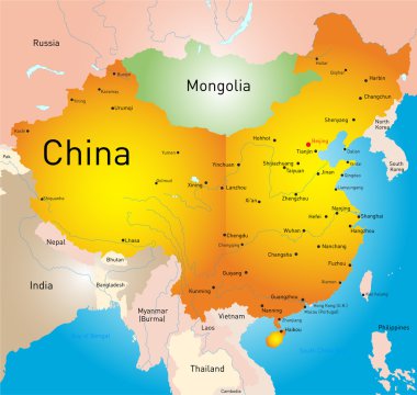
Vector map of China country

China Map - Vintage Detailed Vector Illustration

China Map - Vintage Detailed Vector Illustration

The detailed map of the China with regions or states and cities, capitals

The detailed map of the China with regions or states and cities, capitals, national flag

Nanjing city China municipality vector map. Blue street map, municipality area, white lines. Urban skyline panorama for tourism.

Map of People's Republic of China where Jiangsu province is pulled ou

Detailed map of China
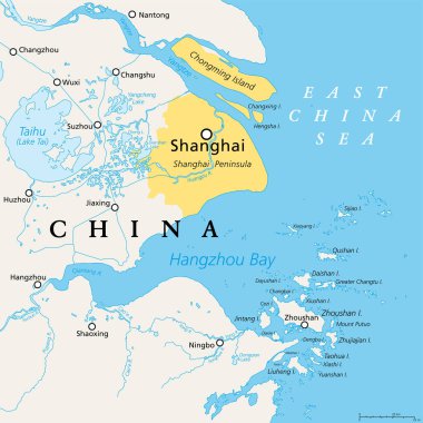
Shanghai and the Yangtze River Delta, political map with major cities. Megalopolis of China, located where the Yangtze River drains into the East China Sea, with Hangzhou Bay and Zhoushan Archipelago.

Nanjing silhouette skyline. China - Nanjing vector city, chinese linear architecture, buildings. Nanjing line travel illustration, landmarks. China flat icons, chinese outline design banner

Vector outline icons of hina cities skylines

China map and words cloud with larger cities

Grunge rubber stamp set with names of China cities (part two), vector illustration

The detailed map of China with regions or states and cities, capitals.

Jiangsu Province (Administrative divisions of China, China, People's Republic of China, PRC) map vector illustration, scribble sketch Kiangsu map