
Nebraska, state of USA - solid black outline map of country area. Simple flat vector illustration.

Blue abstract map of Nebraska
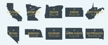
Set 4 of 5 Highly detailed vector silhouettes of USA state maps with names and territory nicknames
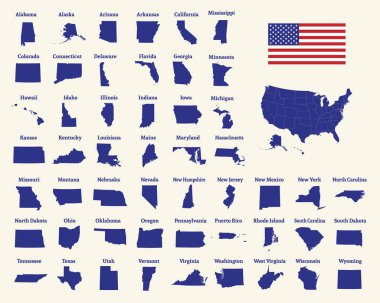
Outline map of the United States of America. 50 States of the USA. US map with state borders. Silhouette of the USA and flag. Vector illustration.
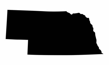
Nebraska State dark silhouette map isolated on white background
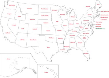
Outline USA map with states

Black outline of USA map

Nebraska blank outline map set

Nebraska line art map from colorful curved lines

State of Nebraska with the name distorted into state shape. Pop art style vector illustration for stickers, t-shirts, posters, social media and print media.
Nebraska state with beautiful view
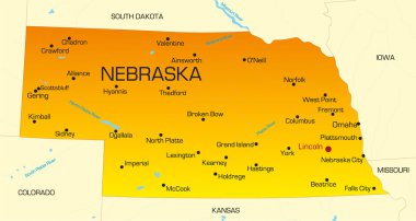
Vector color map of Nebraska state. Usa

A grunged Nebraska state outline with the date of statehood isolated on a white background

A large and detailed map of the State of Nebraska with all counties and main cities.

Map of the U.S. state of Nebraska
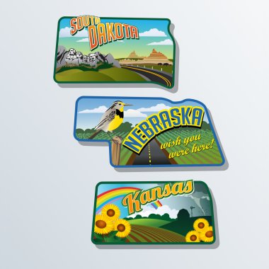
Retro suitcase stickers of united States South Dakota, Nebraska, Kansas

Highly detailed vector silhouettes of US state maps, Division United States into counties, political and geographic subdivisions of a states, West North Central - North Dakota, South Dakota, Nebraska - set 7 of 17

Omaha skyline linear style with rainbow in editable vector file

Omaha skyline linear style with rainbow in editable vector file
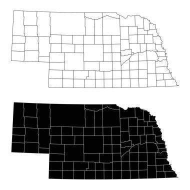
The black and white Nebraska State County Maps

A collection of maps of all the U.S. States in gray color. Maps with neighboring states.

Lincoln skyline linear style with rainbow in editable vector file

Set of Nebraska map, united states of america. Flat concept icon vector illustration .

Cityscape Building Line art Vector Illustration design - Omaha city

A large and detailed map of the USA with every single county.

Set of Nebraska map, united states of america. Flat concept icon vector illustration .
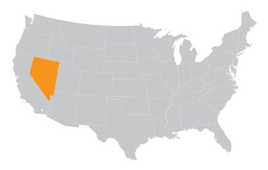
USA map with the indication of State of Nevada
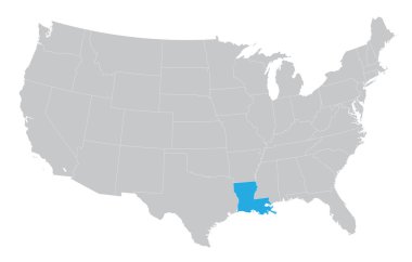
USA map with the indication of the State of Louisiana
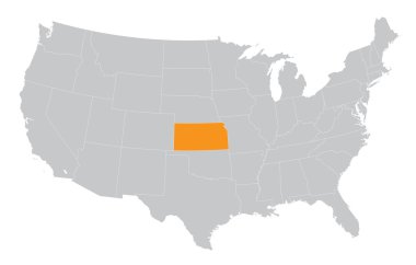
USA map with the indication of The State of Kansas

State map. USA silhouette in flat style. Vector isolated outline illusrtation
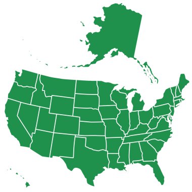
Silhouette map of the USA. Source of map:

A large and detailed map of the State of Nebraska with all counties and main cities.
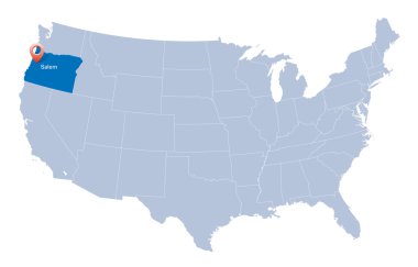
Map of USA with the indication of State of Oregon

Nebraska. Vector silhouette state. Nebraska map with text script. Nebraska shape state map for poster, t-shirt, tee, souvenir. Vector outline Isolated illustratuon on a white background.

Lincoln Nebraska skyline Detailed vector silhouette

Nebraska map shape, united states of america. Flat concept icon symbol vector illustration .
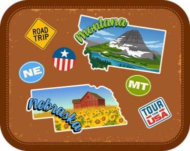
Montana, Nebraska travel stickers with scenic attractions and retro text on vintage suitcase background

37 of 50 states of the United States with a name, nickname, and date admitted to the Union, Detailed Vector Nebraska Map for printing posters, postcards and t-shirts

Low poly map of Nebraska. Geometric illustration of the us state. Nebraska polygonal map. Technology, internet, network concept. Vector illustration.

Omaha skyline in red and gray background in editable vector file

Administrative vector map of the US Census Region Midwest

Nebraska Logo. Map of Nebraska with us state name and flag. Superb vector illustration.

Vector map of the Great Plains Region in North America
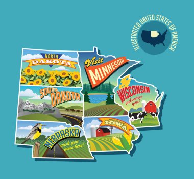
Illustrated pictorial map of Midwest United States. Includes North and South Dakota, Nebraska, Minnesota, Iowa and Wisconsin. Vector Illustration.

Road map of the US American State of South Dakota

Red outline of USA map

Map of the United States of America, with borders and state names, Detailed vector illustration

Outline of the US state of Nebraska over a white background with flag inset

2017 Solar Eclipse Totality across America USA numeral and text color vector illustration
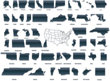
United States of America set in a nice plastic version.

Map of USA with the indication of State of Colorado and Denver

Map of USA with the indication of Washington state
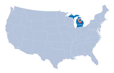
USA map with the indication of Sate of Michigan
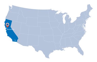
Map of USA with the indication of State of California and Sacramento
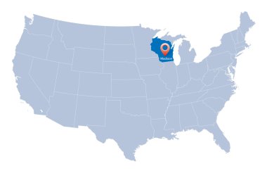
Map of USA with the indication of Wisconsin state

Map of USA with the indication of State of Oklahoma
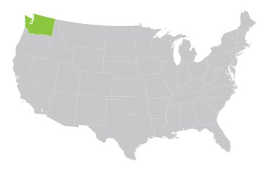
USA map with the indication of State of Washington
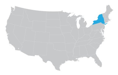
USA map with the indication of the State of New York

Map of USA with the indication of State of Nevada and Carson City
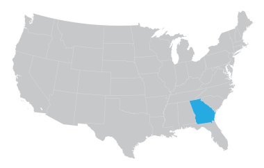
USA map with the indication of the State of Georgia
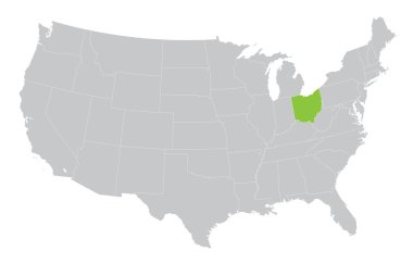
USA map with the indication of the State of Ohio

A large and detailed map of the USA with every single county.

United States of America set in a nice glossy version.

Map of USA with the indication of State of Ohio
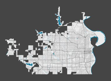
Omaha map. Detailed map of Omaha city administrative area. Cityscape panorama. Royalty free vector illustration. Outline map with highways, streets, rivers. Tourist decorative street map.

2017 Total Solar Eclipse across America USA map outline geometry color vector illustration

Lincoln city one line drawing abstract background with cityscape

Detailed map of Omaha city administrative area. Royalty free vector illustration. Cityscape panorama. Decorative graphic tourist map of Omaha territory.

Grey map of Nebraska

Nebraska city line icon. Element of USA states illustration icons. Signs, symbols can be used for web, logo, mobile app, UI, UX on white background

Map of the U.S. state of Nebraska

Omaha skyline in orange background in editable vector file

Nebraska State in the United States map vector

Omaha skyline in radiant orchid in editable vector file

Lincoln skyline in orange background in editable vector file

Low Poly USA Map with National Colors - Infographic - Vector Illustration

USA map with the indication of State of Kansas and Topeka town

A Nebraska state outline with the date of statehood isolated on a white background
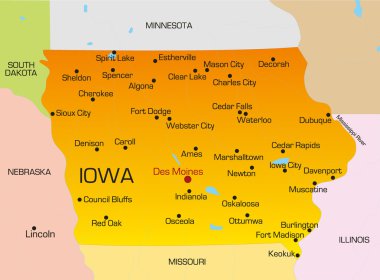
Vector color map of Iowa state. Usa

USA map with the indication of State of Montana and Helena town

2017 Solar Eclipse Totality across America USA numeral and text on sun rays background color vector illustration

Map of USA with the indication of State of Arizona and Phoenix

South Dacota state detailed editable map with cities and towns, geographic sites, roads, railways, interstates and U.S. highways. Vector EPS-10 file, trending color scheme

Omaha landmarks and monuments isolated on blue background in editable vector file

Nebraska state detailed editable map with cities and towns, geographic sites, roads, railways, interstates and U.S. highways. Vector EPS-10 file, trending color scheme

Set of Nebraska map, united states of america. Flat concept icon vector illustration .

Omaha skyline in orange background in editable vector file

United States of America isolated map and Nebraska State territory. vector USA political map. geographic banner template
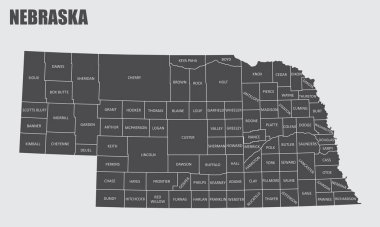
The Nebraska State County Map with labels

Lincoln skyline in radiant orchid in editable vector file

Map of USA with the indication of State of Texas and the capital
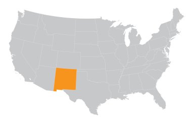
USA map with the indication of the State of New Mexico

Nebraska State map with US flag inside and Map pointer with American flag

US State Maps with flag collection, nine USA map contour with flag of Maine, Maryland, Massachusetts, Michigan, Minnesota, Mississippi, Missouri, Montana, Nebraska

USA map with the indication of State of Nebraska and Lincoln

A Set of Infographic Elements for the State of Nebraska

Map of USA with the indication of State of Georgia and Atlanta city

USA map with the indication of State of Oregon

Vector illustration of a vintage sticker in form of Nebraska state, USA
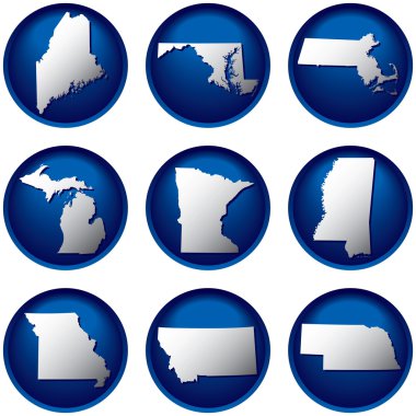
Nine United States Buttons