
Nepal political map with capital Kathmandu, national borders, cities and rivers. Federal democratic republic and landlocked country in South Asia, bordered to China and India. English labeling.

Highly detailed Nepal map with borders isolated on background

Nepal dotted map. Digital style shape of Nepal. Tech icon of the country with gradiented dots. Elegant vector illustration.

Democratic Republic of Nepal - vector map

Illustration of background for Nepal Earthquake

Nepal Map black and white illustration

Grunge rubber stamp with the name and map of Nepal, vector illustration

Nepal map. Blank vector map of the Country with regions. Borders of Nepal for your infographic. Vector illustration.

Nepal map with location pointer marks. Infographic vector template, isolated on white background.

Asia map - highly detailed vector illustration.

Map of administrative divisions of Nepal

Nepal detailed administrative blue map with country flag and location on the world map. Vector illustration
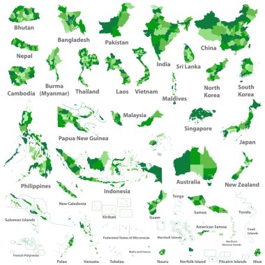
Asian, Australia and Oceania countries maps
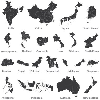
High detailed vector maps of asian countries, Australia and New Zealand

Nepal map in gray on a white background

Nepal highlighted on a detailed map, geographic location of Nepal.

Infographic for Nepal, detailed map of Nepal with flag. Vector Info graphic green map.

Nepal vector map with infographic elements, pointer marks. Editable template with regions, cities and capital Kathmandu.

Kenya map - High detailed blue map with counties/regions/states of kenya. nepal map isolated on transparent background.

Stylized vector Nepal map showing big cities, capital Kathmandu, administrative divisions.

Nepal map glowing silhouette outline made of stars lines dots triangles, low polygonal shapes. Communication, internet technologies concept. Wireframe futuristic design. Vector illustration.

Nepal on the globe. Earth centered at the location of Federal Democratic Republic of Nepal. Map of Nepal. Includes layer with capital cities.

Nepal vector map. Editable template with regions, cities, red pins and blue surface on white background.

Nepal on map, top view of colorful travel essentials on table

Nepal country map polygonal with spot lights places

Vector map of Nepal country colored by national flag

Nepal with zones and capital cities
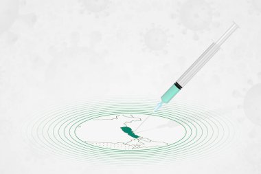
Nepal vaccination concept, vaccine injection in map of Nepal. Vaccine and vaccination against coronavirus, COVID-19.

Map of nepal. map concept

Nepal - solid black silhouette map of country area. Simple flat vector illustration.

Nepal map with flag inside and ribbon

Map with highlighted Nepal map and flag

Zoom on Nepal Map and Flag. World Map

Nepal flag and map set. nepal flag in official colors and proportions., map

Flag of nepal. Flag icon. Standard colors. Standard size. Rectangular flag.

Nepal Location Highlighted on Asian Map with Flag Icon.

Nepal Map Pin with National Flag on Open World Map.

Map of Nepal on red circle with long shadow

Asia map - highly detailed vector illustration.
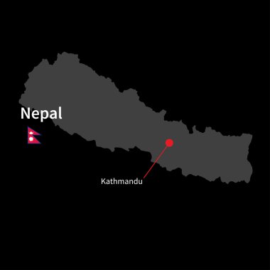
Detailed map of Nepal and capital city Kathmandu with flag on black background

Detailed map of the Tibet Autonomous Region, China

The illustration of south asia map with detailed india map.

Vector Map of the combined catchment areas of the Ganges, Brahmaputra and Meghna rivers.

Vector illustration of Asia continent map with countries mixed with their national flags

Colorful Southern Asia map with countries and capital cities

Flags of the countries of the world. Flags of Asian countries. Geography, atlas, world, travel
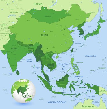
High detail map of far east Asia with a 3D Globe centered on these countries

South Asia political map. Southern subregion of Asia, defined in geographical and ethnic-cultural terms. The countries Afghanistan, Bangladesh, Bhutan, India, Maldives, Nepal, Pakistan, and Sri Lanka.

Vector map of south east asian countries mixed with their national flags

Highly detailed map of India.

China map

India political map with capital New Delhi, national borders and neighbor countries. Republic and subcontinent in South Asia. Gray illustration, English labeling. Isolated on white background. Vector.

Detailed map of the Asian Himalayan state of Nepal
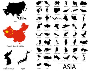
Asian countries vectors
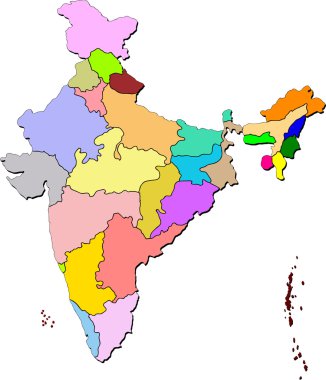
Illustration art india map with isolated background

India road map with the main cities

Vector map of China provinces colored by regions with neighbouring countries and territories

Vector detailed map of India country
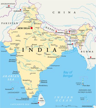
India political map with capital New Delhi, national borders, important cities, rivers and lakes. English labeling and scaling. Illustration.

Asian flag set in alphabetical order, with an editable map.

Nepal network map. Abstract polygonal map design. Internet connections vector illustration.

South Asia Region. Map of countries in southern Asia. Vector illustration.

Vector maps set. High detailed 44 maps of Asian countries with administrative division and cities. Political map, map of Asia continent, world map, globe, infographic elements. Part 2.

Asia political map. Location, navigation and travel icons. Asian countries maps and flags vector set

South Asia Region. Map of countries in southern Asia. Vector illustration.

Maps collection countries of Asia, black contour maps of Asia. Vector set.

Vector collection of asian countries maps that combined with their flags. Political map of Asia continent. Navigation and location icons

Map of India with the biggest cities and rivers

Set of vector polygonal Nepal maps. Bright gradient map of country in low poly style. Multicolored Nepal map in geometric style for your infographics.

Asian countries set, maps and flags, Part 1

Stamp set with the name and map of Nepal, vector illustration

Southern Asia Map - Vintage Detailed Vector Illustration

Energy industry and ecology of Nepal vector map with power stations infographic.

Map of Asia Pacific. Bangladesh, Bhutan, Brunei Darussalam, Cambodia, China, Mainland China, Taiwan Province of China, Hong Kong SAR, India, Indonesia, Japan, Korea, Laos, Malaysia, Maldives, Mongolia, Myanmar, Nepal, Pakistan, Philippines, Singapore

Southern Asia Map - Detailed Vector Illustration

Asia map - highly detailed vector illustration.

Asia country all flag vector

Asia Map - Detailed Info Graphic Vector Illustration

Asia Map - Detailed Vector Illustration

Asia Map - Detailed Vector Illustration

Asia map and flags
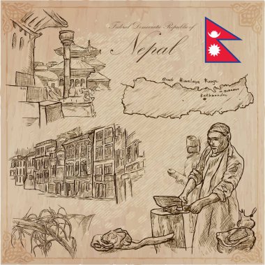
Travel, NEPAL. Pictures of Life. Vector hand drawn collection. Drawing, pack of line art illustrations. Set of freehand sketches, outlines. Traveling around Federal Democratic Republic of Nepal.

All asian maps mixed with flags. Vector

Southern Asia Map - Detailed Vector Illustration

Southern Asia Map - Vintage Detailed Vector Illustration

Asia map - highly detailed vector illustration.

Asia map - highly detailed vector illustration.
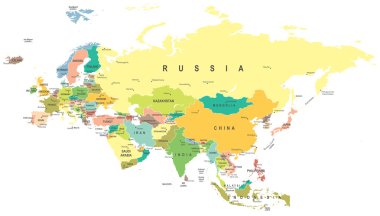
Eurasia map - highly detailed vector illustration.

Asia map - highly detailed vector illustration.

Asia map - highly detailed vector illustration.

Nepal Travel Destination logo - travel company logo design - Travel and Tourism concept with country flag - vector illustration

Asia Map - Detailed Vector Illustration
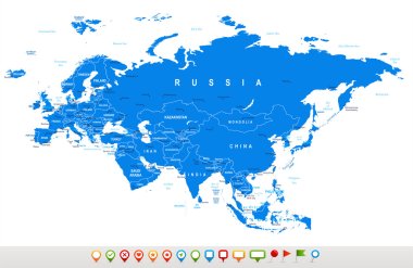
Eurasia map - highly detailed vector illustration.
Blue similar Eurasia map. Eurasia map blank. Eurasia map vector. Eurasia map flat. Eurasia map template. Eurasia map object. Eurasia map eps. Eurasia map infographic. Eurasia map clean. Eurasia map.
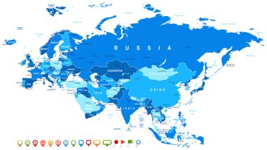
Eurasia map - highly detailed vector illustration. Image contains land contours, country and land names, city names, water object names, navigation icons.

Detailed vector map poster of Kathmandu city administrative area. Blue skyline panorama. Decorative graphic tourist map of Kathmandu territory. Royalty free vector illustration.
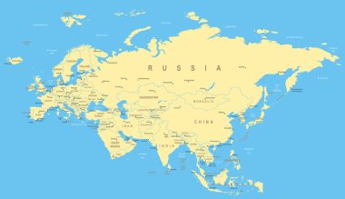
Eurasia map - highly detailed vector illustration.
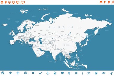
Eurasia map - highly detailed vector illustration. Image contains land contours, country and land names, city names, water object names, navigation icons.

Map of Asia Pacific. Vector white Background
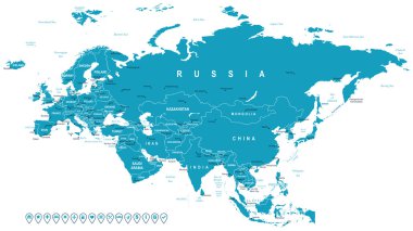
Eurasia map - highly detailed vector illustration. Image contains land contours, country and land names, city names, water object names, navigation icons.