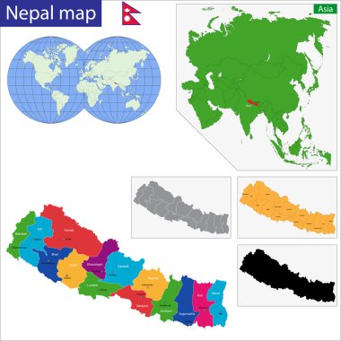
Nepal map with location pointer marks. Infographic vector template, isolated on white background.

Detailed map of the Tibet Autonomous Region, China

Colorful Southern Asia map with countries and capital cities

South Asia political map. Southern subregion of Asia, defined in geographical and ethnic-cultural terms. The countries Afghanistan, Bangladesh, Bhutan, India, Maldives, Nepal, Pakistan, and Sri Lanka.

Vector map of south east asian countries mixed with their national flags

Vector map of China provinces colored by regions with neighbouring countries and territories

South Asia Region. Map of countries in southern Asia. Vector illustration.

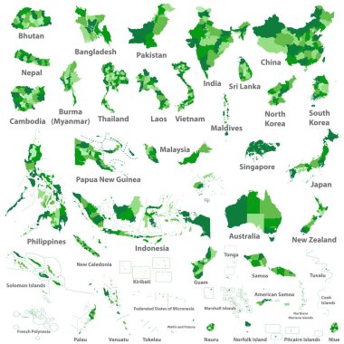
Vector maps set. High detailed 44 maps of Asian countries with administrative division and cities. Political map, map of Asia continent, world map, globe, infographic elements. Part 2.

South Asia Region. Map of countries in southern Asia. Vector illustration.

Map of administrative divisions of Nepal

Asian, Australia and Oceania countries maps

Map of India with the biggest cities and rivers

Nepal map in gray on a white background

Nepal highlighted on a detailed map, geographic location of Nepal.

Asia country all flag vector

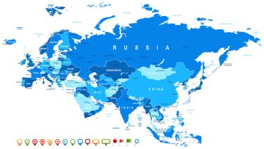
Eurasia map - highly detailed vector illustration. Image contains land contours, country and land names, city names, water object names, navigation icons.

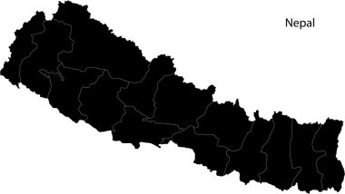
Nepal Map black and white illustration

Nepal map with borders, cities, capital and administrative divisions. Infographic vector map. Editable layers clearly labeled.

Nepal vector map with infographic elements, pointer marks. Editable template with regions, cities and capital Kathmandu.

Stylized vector Nepal map showing big cities, capital Kathmandu, administrative divisions.

Highly detailed editable political map with separated layers. India.

Travel around the world. Nepal. Watercolor map

Asia map in vintage style

South Asia Region. Map of countries in southern Asia. Vector illustration.

South Asia Region. Map of countries in southern Asia. Vector illustration.

Map of China with provinces

Nepal vector map. Editable template with regions, cities, red pins and blue surface on white background.

Highly detailed editable political map with separated layers. India.

Map of the Federal Democratic Republic of Nepal with zones colored in bright colors

Nepal administrative and political (province) map

Asian countries with provinces and capital population

Republic of India vector map

Road map of the Indian state Sikim

Vector high detailed maps and flags of east asian countries with administrative divisions (regions borders)

Vector map Nepal. Isolated vector Illustration. Black on White background. EPS 10 Illustration.

South Asian Association for Regional Cooperation (SAARC) vector map with logo

Administrative division of Nepal map

Map of bangladesh. Good use for symbol, logo, web icon, mascot, sign, or any design you want.

Nepal administrative and political (province) map with flag

Nepal with zones and capital cities

Vector map of the north Indian state of Uttarakhand, India

Black Southern Asia map with countries and capital cities

Map of nepal. map concept

Uttarakhand administrative and political division vector map

Flat Vector Illustration of the National State Emblem of Nepal

Nepal - solid black silhouette map of country area. Simple flat vector illustration.

Map of the Federal Democratic Republic of Nepal with zones colored in bright colors

Tibet administrative and political vector map with disputed border areas.

Southern Asia map with countries and capital cities

Southern Asia map with countries and capital cities

Detailed vector map of Nepal and capital city Kathmandu

Map of the northern Indian state of Uttar Pradesh

Nepal political map of administrative divisions - provinces. Grey blank vector editable map EPS.

Nepal Map Silhouette with National Flag Design

Map illustration of Pakistan. Politics and diplomacy concept.

Clean Nepal map silhouette vector. Simple black outline of Himalayan country. Perfect for infographics, travel, education, or graphic design

Nepal Location Highlighted on Asian Map with Flag Icon.