Description:
The Okinawa Territory SVG vector depicts the geographical outline of Okinawa Island, showcasing its unique shape and location in the East China Sea. This vector is available in scalable SVG format, which allows for easy resizing without loss of quality. The design is clean and minimalist, making it suitable for various applications. It is created in a flat style that is ideal for maps, infographics, and educational presentations. This versatile design can be adapted for multiple projects, including digital and print. It’s essential for anyone looking to illustrate geographical concepts or explore cultural themes related to Okinawa.
Usage ideas:
This SVG vector of the Okinawa Territory can be utilized in several contexts, such as in travel brochures to highlight popular destinations, or in educational resources to teach students about Japanese geography. Graphic designers may apply it in web designs to create interactive maps or enhance tourism sites. Businesses can use this vector in presentations to discuss geopolitical aspects or demographics of the region. Furthermore, this clipart is suitable for crafting projects like scrapbooking or personalized stationery that focus on travel themes.

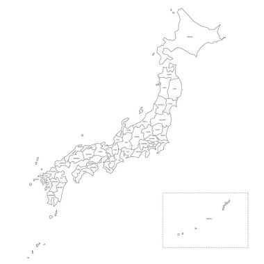
Blank political map of Japan. Administrative divisions - prefectures. Simple black outline vector map.

Political map of Japan. Administrative divisions - regions. Simple flat blank vector map

Japan country map icon vector illustration graphic design

Detailed map of the Japan with cities

Okinawa Island map on road sign. Wide poster with Okinawa Island island map on yellow rhomb road sign. Vector illustration.

Japan map icon vector illustration symbol design

Political map of Japan with regions and their capitals

Colorful political map of Japan divided into regions by color. Simple flat vector map with labels.

Okinawa Island geometric polygonal maps, mosaic style island collection. Exotic low poly style, modern design. Okinawa Island polygonal maps for infographics or presentation.

Okinawa Island icon. Map on dark background. Stylish Okinawa Island map with name. Vector illustration.

The detailed map of the Japan with regions or states and cities, capitals

Colorful political map of Japan. Administrative divisions - regions. Simple flat vector map with labels.

Okinawa Island round stamp. Round logo with island map and title. Stylish minimal Okinawa Island badge with map. Vector illustration.

Japan political map divide by state colorful outline simplicity style.

The detailed map of the Japan with regions or states and cities, capitals

Vector map and flag of Japan

Vector colored map flat design abstract japan Honshu Hokkaido islands illustration isolated blue backgroun

Colorful political map of Japan divided into regions by color. Simple flat blank vector map

Orange political map of Japan. Administrative divisions - prefectures. Simple flat vector map with labels.

Colorful political map of Japan. Administrative divisions - prefectures. Simple flat vector map with labels.

Japan map outline vector isolated on white background.

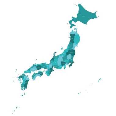
Turquoise blue political map of Japan. Administrative divisions - prefectures. Simple flat vector map with labels.

Blank political map of Japan. Administrative divisions - prefectures. Simple black outline vector map.

Pink political map of Japan. Administrative divisions - prefectures. Simple flat vector map with labels.

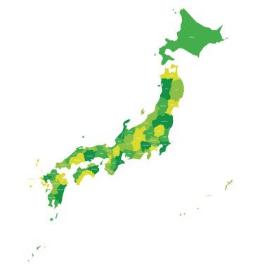
Green political map of Japan. Administrative divisions - prefectures. Simple flat vector map with labels.

The detailed map of the Japan with regions.

Colorful political map of Japan. Administrative divisions - regions. Simple flat blank vector map.

Niigata, Oita, Okayama, Okinawa outline maps

Okinawa prefecture blank outline map set

Vector map flag of Japan isolated on white background

Black and white maps of japan showing country outline and silhouette

Okinawa city (Japan, Nihon-koku or Nippon-koku, Kyushu region) map vector illustration, scribble sketch Okinawa-shi or Uchinaa map