Description:
This Orography SVG vector image illustrates the intricate features of the Earth's topography. The design showcases various elevations and landforms, rendered in a clean, scalable format suitable for professional use. Available in SVG format, it ensures high-resolution clarity whether printed or used digitally. The image is created in a detailed style, making it easy to discern different geographical elements. It serves as an effective visual aid for geography educators, cartographers, and students alike. The image's design emphasizes accuracy and clarity, making it versatile for various applications.
Usage ideas:
This orography SVG vector can be utilized in multiple contexts, including educational presentations, geography textbooks, and digital course materials. Additionally, it can serve as a backdrop for interactive maps in web applications or be incorporated into environmental reports. Businesses in the travel and tourism sector can use it for promotional materials to illustrate destination topography. Furthermore, this vector can be adapted for use in blog posts or articles discussing geological features. Designers may also implement it in graphics for outdoor events or educational workshops.

Streets of San Antonio, city map, Texas. Roads and urban area. United States of America. The city is the second most populous in Texas

Berlin map, cities, streets, Germany, satellite view

Orographic map of Mexico with political division in black and white, for school

Map of Nicosia and Strovolos, satellite view, city, Cyprus. Turkish part and Greek part of the urban area

Map of Madrid, cities, streets, Spain

Streets of Riyadh, city map, Saudi Arabia, satellite view. Street

Map of Leeds, satellite view of the city, streets and houses, England. UK. Leeds is a city in Yorkshire County

Map of Brussels, cities, streets, Belgium

Map of New Delhi, satellite view, city, India. Streets of the city. Capital

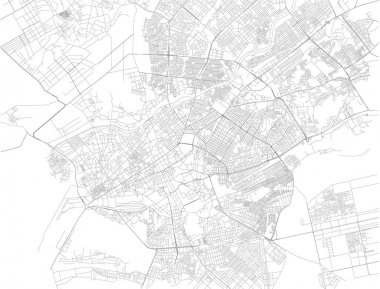
Map of Karachi, the capital of the Pakistani province of Sindh. Pakistan. Asia

Physical World Map vector illustration with cities, countries and international borders

Streets of Jeddah, city map, Saudi Arabia, satellite view. Streets. Asia

Streets of Fort Worth, city map, Texas. Roads and urban area. United States of America

Mecca map, Makkah is a city in the Hejazi region of the Arabian Peninsula, and the plain of Tihamah in Saudi Arabia

Streets of Indianapolis, city map, capital city, Indiana. Streets and urban area. Usa. The city is the capital and most populous city of the U.S. state of Indiana and the seat of Marion County

Streets of Kuwait city, city map, capital city, Kuwait. Street. Middle East

Toulouse is the capital of the French department of Haute-Garonne, map, satellite view of the city, streets and houses, France

Streets of Trapani, map of the city, regional capital, Sicily, Italy. Street

Streets of Tunis, map of the city, capital, Tunisia. Street. Africa

Map of Barcelona, cities, streets and streets, Spain

Physical blank World Map vector illustration isolated on white background

Washington, D.C. map, is the capital of the United States of America. Streets of the capital, satellite view. District of Columbia

Streets of Columbus is the state capital and the most populous city in Ohio. United States of America

Streets of Maputo, map of the city, capital, Mozambique. Street. Africa. Unban area and houses

Map of Prague, satellite view, city, Czech Republic. City streets and houses. Capital

Map of Vienna, city map, Austria. Streets of the capital, satellite view. Wien