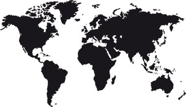
Black map of world with countries borders
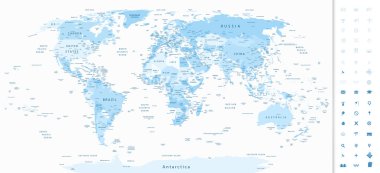
Highly detailed World Map in shades of soft blue colors and navigation icons.
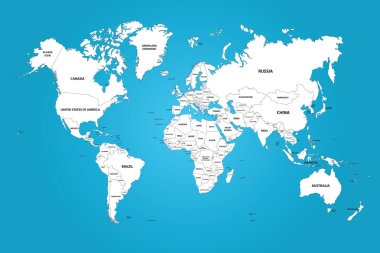
The world map with the frontiers and country names. The vector image has the grouped layers for each country. All of the countries groups ordered by the alphabet.

Vector illustration of world map, blue continents isolated on white
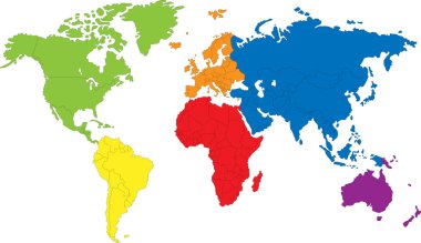
Colored map of the World with countries borders

Asia on earth, abstract vector art illustration
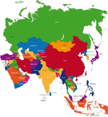
Colorful Asia map with country borders
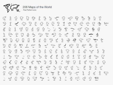
A complete set of the world map isolated by countries and nations.

Map of world with black outline and grey fill, vector illustration
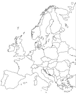
Europe vector map - Outline Contour Vector map

Political Blue World Map Vector illustration

Colored neon map of the World, hand sketch design

World map countries vector illustration

World map countries vector illustration

Doodle Map of Kazakhstan - vector illustration

Thailand vs Cambodia conflict map

Political Physical Topographic Colored World Map Vector illustration
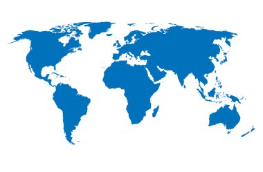
Vector World Map
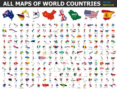
All maps of world countries and flags . Collection of outline shape of international country map with shadow . Flat design . Vector .
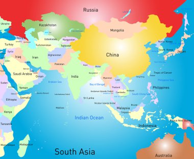
Vector color south asia map

World map drawn. Vector illustration.

Map of administrative divisions of Iraq

Black Asia map without country borders

World map - Asia, Australia and Pacific Ocean centered. High detailed political map of World with country, capital, ocean and sea names labeling.

Political map of World with capital cities of countries. Handdrawn style. Vector illustration.

World map outline - vector illustration of earth map on white background

World map outline - vector illustration of earth map on white background

World Map Outline Contour Silhouette - Asia in Center
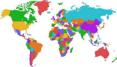
Colored map of world with countries borders

Contour Asia map with country borders
Black world map outlines isolated on white, abstract art illustration
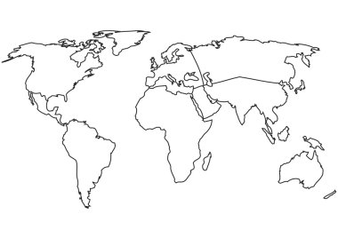
World map with Continents - Vector Outline Map

Bent, deformed world map on background of lines

World Map Black Color Pacific Centered. Detailed World Map Vector illustration.

White world map outline - vector illustration of earth map on dark background

Vector high detailed outline of world map

Layered editable vector illustration silhouette country map of 44 asian countries.
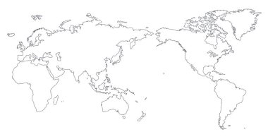
World Map Outline Contour Silhouette - Asia in Center

World Map Outline Contour Silhouette - Asia in Center - vector

World map. High detailed political map of World with country, capital, ocean and sea names labeling.

Earth Globe with World map Detail Vector Line Sketched Up Illustrator, EPS 10.

Pink world map with names of countries and their capitals. Vector illustration.

Flat Black Map of Africa on White Background With National Country Borders

World map earth vector

Map of Arabian Peninsula. Handdrawn doodle style. Vector illustration.

World Map Outline Contour Silhouette - Asia in Center - vector

Political World Map Pacific Centered - vector

Flat Grey Map of Africa on White Background With National Country Borders

Pink world map with names of countries and their capitals. Vector illustration.

Flat Black Map of Asia on White Background With Country Borders and Label Tag

Political World Map Pacific Centered - vector

Vintage Political World Map Pacific Centered - vector

Political World Map Pacific Centered - vector
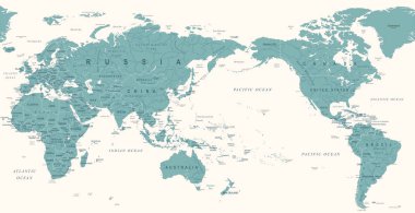
Vintage Political World Map Pacific Centered - vector

Political Physical Topographic Colored World Map Info Graphic - Vector illustration

Map Of The World. Vector Illustration. EPS10
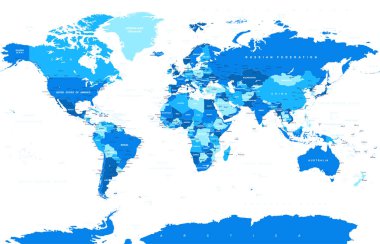
Political Physical Topographic Colored World Map Vector illustration

Color map of Central Asia divided by the countries

Political Physical Topographic Colored World Map Info Graphic - Vector illustration

Political World Map Pacific Centered - vector

Black silhouette map of eurasia continent

Political World Map Pacific Centered - vector

Color map of the world on the blue background

Flat Blue Map of Asia on White Background With Country Borders

World Map Color Detailed - Asia in Center - vector

Political Physical Topographic Colored World Map Vector illustration

Color map of Southeastern Asia divided by the countries

Colorful Asia map with country borders

Territory of continents map - North America, South America, Europe, Australia, Africa, Asia

Detailed vector map of Asia Pacific Region on white

World Map Color - Asia in Center- vector

Vintage Political World Map Pacific Centered - vector

Colorful Asia map with country borders

Green Asia map with country borders

Central Asia map with countries and capital cities

Outline silhouette of a world map. Pacific Ocean, Geographic map, World map, Globe. Vector.

Vintage Political World Map Pacific Centered - Info Graphic vector

Political Vintage Golden Blue World Map Vector illustration

Political World Map Pacific Centered - vector

World Map Outline Contour Silhouette - Asia in Center - vector

Vintage Political World Map Pacific Centered - vector

The illustration of south asia map with detailed india map.

World Map Vintage Old Retro - Asia in Center- vector

Colorful Southern Asia map with countries and capital cities

Vector color southeast asia map
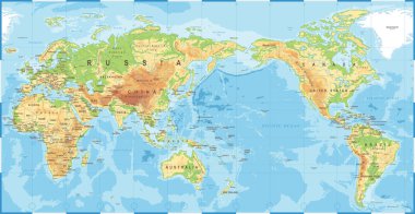
Political Physical Topographic Colored World Map Pacific Centered- vector

Thailand on dark globe with blue world map. Red country highlighted. Satellite world view centered to Thailand with country name. Vector Illustration.

World Map Blue Green Detailed - Asia in Center - vector

Outline maps of the countries

Political Physical Topographic Colored World Map Vector illustration

Vintage Political World Map Pacific Centered - vector

Political Physical Topographic Colored World Map Pacific Centered- vector

World Map Vintage Old Retro - Asia in Center- vector

Vintage Political World Map Pacific Centered - vector

Vintage Political Physical Topographic World Map Pacific Centered- vector

Political Physical Topographic Colored World Map Vector illustration

Political Colored World Map Vector illustration

East Asia, single states, political map. All countries in different colors, with national borders, labeled with English country names. Eastern subregion of the Asian continent. Illustration. Vector.

Color map of Eastern Asia divided by the countries

Globe centered to Saudi Arabia. Country highlighted with green color on world map. Satellite world projection. Artistic vector illustration.