Black map of Pennsylvania

Map of pennsylvania. map concept

Pennsylvania PA State Border USA Map Solid
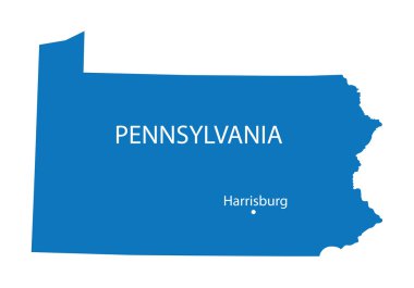
Blue map of Pennsylvania with indication of Harrisburg

Pennsylvania, state of USA - solid black outline map of country area. Simple flat vector illustration.

Pennsylvania state outline administrative and political vector map in black and white

All 50 USA States Map Pixel Perfect Icons (Line Style Shadow Edition). Vector icons of the complete United States of America states map.

Blue abstract outline of Pennsylvania map
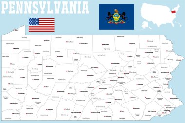
A large and detailed map of the State of Pennsylvania with all counties and county seats.
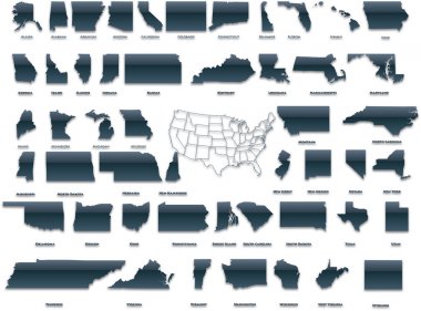
United States of America set in a nice plastic version.

Pennsylvania blank outline map set

Pennsylvania vector map silhouette isolated on white background. High detailed illustration. United state of America country.
Montgomery County, Pennsylvania blank outline map set

Somerset County, Pennsylvania blank outline map set

Franklin County, Pennsylvania blank outline map set

Allegheny County, Pennsylvania blank outline map set
Set of 3D images of the State of Pennsylvania with icons.
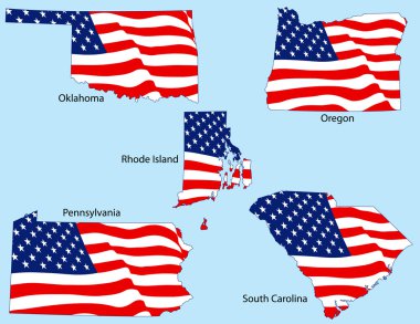
Oklahoma, Oregon, Rhode Island, Pennsylvania, and South Carolina outlines with flags, each individually grouped

Pennsylvania PA state Maps. Black silhouette and outline isolated on a white background. EPS Vector
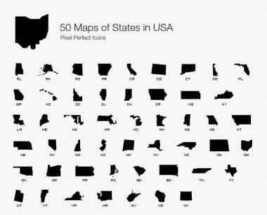
All 50 USA States Map Pixel Perfect Icons (Filled Style). Vector icons of the complete United States of America states map.

Vector map of United States with indication of Pennsylvania

Philadelphia skyline, big city architecture, vintage engraved vector illustration, hand drawn, sketch.

Map of The United States of America (USA) Divided States Maps Outline Illustration on White Background
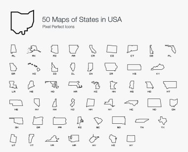
All 50 USA States Map Pixel Perfect Icons (Line Style). Vector icons of the complete United States of America states map.

Highly detailed vector silhouettes of US state maps, Division United States into counties, political and geographic subdivisions of a states, Mid-Atlantic - Pennsylvania, New Jersey, New York - set 3 of 17

Satellite map of Philadelphia, Philly, Pennsylvania, city streets. Street map, city center. Usa

Outline map of Pennsylvania white background. USA state, vector map with contour.

United States and Mexico political map of administrative divisions. Blank black outline vector map

Pennsylvania State Map Icon Element Design

Outline maps of USA states collection, black lined vector map.
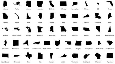
Vector illustrations of all fifty states of the united states of america with the names of each state written below
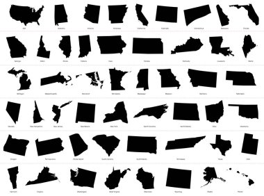
The United States of America (USA), commonly known as the United States (U.S.) or America, is a federal republic composed of 50 states, a federal district, five major self-governing territories, and various possessions. At 3.8 million square miles (9

Travel poster, urban street plan city map Boston and Philadelphia, vector illustration

Map of the U.S. state of Pennsylvania on a white background

Pennsylvania Map Vector Outline Design Template. Editable Stroke.

Outline map of the state of Pennsylvania

Philadelphia colored vector map

Harrisburg city one line drawing abstract background with cityscape

Stylized blue sketch map of Pennsylvania

Pennsylvania map high quality vector. American state simple hand made line drawing map

Pennsylvania state map silhouette in the United States

A large and detailed map of the USA with every single county.

Pennsylvania state shape outline simplified

Philadelphia Pennsylvania skyline Detailed vector silhouette

Philadelphia silhouette skyline. USA - Philadelphia vector city, american linear architecture, buildings. Philadelphia line travel illustration, landmarks. USA flat icon, american outline design

Philadelphia County, Pennsylvania blank outline map set

Texas state map silhouette in united states

State map. USA silhouette in flat style. Vector isolated outline illusrtation

Philadelphia skyline detailed silhouette Trendy vector illustration linear style

Pittsburgh skyline on white background. Pittsburgh city. Pennsylvania Usa skyscraper buildings silhouette. Pittsburgh cityscape sign. flat style.

A large and detailed map of the State of Pennsylvania with all counties and county seats.

Pennsylvania high detailed map. Us state silhouette icon. Isolated Pennsylvania black map outline. Vector illustration.

Vector posters with highly detailed silhouettes of maps of the states of America, Division Mid-Atlantic - Pennsylvania, New Jersey, New York - set 3 of 17

Philadelphia minimal style City Outline Skyline with Typographic. Vector cityscape with famous landmarks. Illustration for prints on bags, posters

USA America Map States border isolated on white background. Vector illustration

Philadelphia skyline on white background

Philadelphia City Hall. Pennsylvania, Philadelphia

Detailed illustration of Philadelphia, Pennsylvania

Graphic of the North American great lakes and their neighboring states

US State Maps with flag collection, nine USA map contour with flag of Oregon, Pennsylvania, Rhode Island, South Carolina, South Dakota, Tennessee, Texas, Utah, Vermont
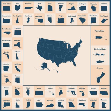
Outline map of the United States of America. 50 States of the USA. US map with state borders. Silhouettes of the USA and Guam, Puerto Rico, US Virgin Islands. Vector illustration.

High detailed Pennsylvania physical map with labeling.
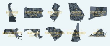
Set 1 of 5 Division United States into counties, political and geographic subdivisions of a states, Highly detailed vector maps with names and territory nicknames

Ohio administrative and political vector map with flag
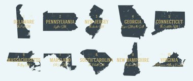
Set 1 of 5 Highly detailed vector silhouettes of USA state maps with names and territory nicknames

Pennsylvania administrative and political vector map

Philadelphia, Pennsylvania skyline. Detailed vector silhouette

Official current vector great seal of the Federal State of Pennsylvania, USA
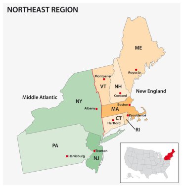
Administrative vector map of the US Census Region Northeast

Pennsylvania Logo. Map of Pennsylvania with us state name and flag. Powerful vector illustration.

Pittsburgh V2 landmarks and monuments isolated on blue background in editable vector file

Pittsburgh, Pennsylvania skyline. Detailed vector silhouette

2 of 50 sets, US State Posters with name and Information in 3 Design Styles, Detailed vector art print Pennsylvania map
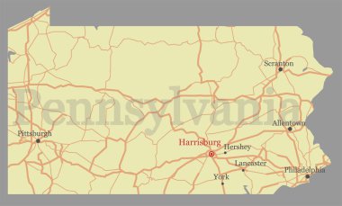
Pennsylvania vector accurate high detailed State Map with Community Assistance and Activates Icons Original pastel Illustratio

Pennsylvania, Rhode Island, South Dakota and South Carolina state names distorted into state outlines. Pop art style vector illustration for stickers, t-shirts, posters and social media.
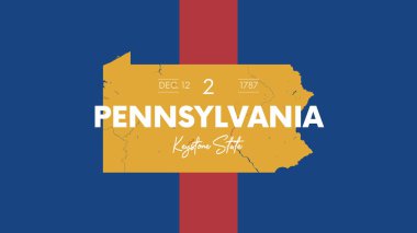
2 of 50 states of the United States with a name, nickname, and date admitted to the Union, Detailed Vector Pennsylvania Map for printing posters, postcards and t-shirts
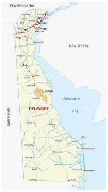
Road map of the US state delaware with flag

Cityscape Building Line art Vector Illustration design. Philadelphia city
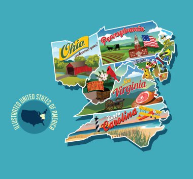
Illustrated pictorial map of eastern United States. Includes Pennsylvania, New Jersey, West Virginia, Virginia, North Carolina, Delaware and Maryland. Vector Illustration.
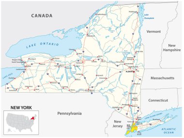
Road map of the US American State of New York

Yellow map of Pennsylvania with indication of largest cities

Lake erie drainage basin vector map
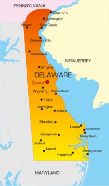
Vector color map of Delaware state. Usa
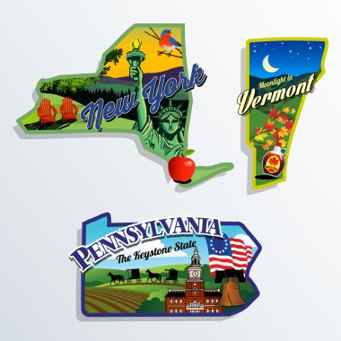
New York, Vermont and Pennsylvania scenic vector illustrations

Lake ontario drainage basin vector map

Stencil map of Pennsylvania. Simple and minimal transparent map of Pennsylvania. Black rectangle with cut shape of the us state. Radiant vector illustration.
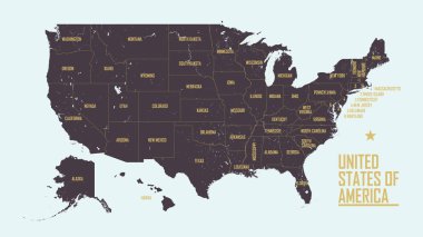
Detailed vintage map of United States of America with names of 50 states, vector illustration

Detailed map of US regions, isolated states with names, Colorful infographics of the United States of America, vector illustration

United States and Canada political map of administrative divisions. Blank black outline vector map

Icon set represents each state as landmark and travel destination

United States of America set in a nice glossy version.

All 50 USA States Map Pixel Perfect Icons (Filled Style Shadow Edition). Vector icons of the complete United States of America states map.

USA, Pennsylvania , Pittsburgh winter city skyline. Merry Christmas and Happy New Year decorated banner. Winter greeting card with snow and Santa Claus. Flat, line vector, linear christma

PITTSBURGH City Pennsylvania Skyline Silhouette Cityscape Vector

USA, Pennsylvania , Philadelphia winter city skyline. Merry Christmas and Happy New Year decorated banner. Winter greeting card with snow and Santa Claus. Flat, line vector, linear christma

USA map with arrows

Pittsburgh V2 skyline linear style with rainbow in editable vector file

Pittsburgh City (United States cities, United States of America, usa city) map vector illustration, scribble sketch City of Pittsburgh map
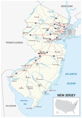
Road map of the US American State of new jersey

Pennsylvania Icons