
Layered vector illustration of 13 South America Country Maps.

Peru blank detailed outline map set

The Peru map divided into regions with labels

Outline maps of American countries collection, black lined vector map.
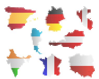
Maps and flags

Retro Style North and South America, Europe, Africa Global World, Elements of this image furnished by NASA

Outline maps of the countries in North and South America continent , vector illustration

Downtown vector map of Lima, Peru. This printable map of Lima contains lines and classic colored shapes for land mass, parks, water, major and minor roads as such as major rail tracks.

The base map is from NASA and Hand Drawn using the pen tool for maximum detail

South America map with ethnic ornaments

Maps collection countries of America, black contour maps of America. Vector set.
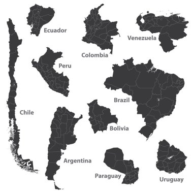
Vector maps of south american countries

Peru map in gray on a black background 3d
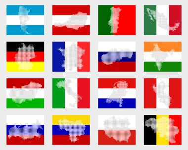
Set of flags with maps

Outline maps of the countries in North and South America continent , vector illustration

Vector Map Icon of the World Globe

South America and South Pole Global World
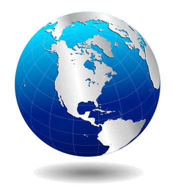
AMERICA Silver Global World - Elements of this image furnished by NASA the base map of the Globe is Hand Drawn using the pen tool with a tablet pen for maximum detail

Peru map

Vector Map Icon of the world in Globe form

Vector Map Icon of the world in Globe form

South America Global World

South America and Africa Global World

Vector Map Icon of the world in Globe form

Retro Style South America Global World

Vector Map Icon of the world in Globe form

Vector Map Icon of the world in Globe form

Vector Map Icon of the world in Globe form

Retro Style North, South, and Central AMERICA, Global World, Elements of this image furnished by NASA

South America and part of the South Pole Background with Globe Icon 3D illustration, Glossy, Shiny Sphere with Global Map in Subtle Blues giving a transparent feel

Vector Map Icon of the world in Globe form

Communication across the world with light lines

Communication across the world with light lines

South America and Africa Global World Globe Icon 3D illustration, Glossy, Shiny Sphere with Global Map in Subtle Blues giving a transparent feel

South America,South Pole and Africa Global World

Vector Map Icon of the World Globe
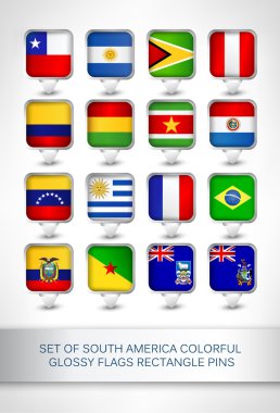
Set of south america colorful glossy flags rectangle pins,map pointer for maps,navigation application or website.

Communication across the world with light lines

Vector Map Icon of the world in Globe form

North and South America, Europe, Africa Global World, Globe Icon 3D illustration, Glossy, Shiny Sphere with Global Map in Subtle Blues giving a transparent feel
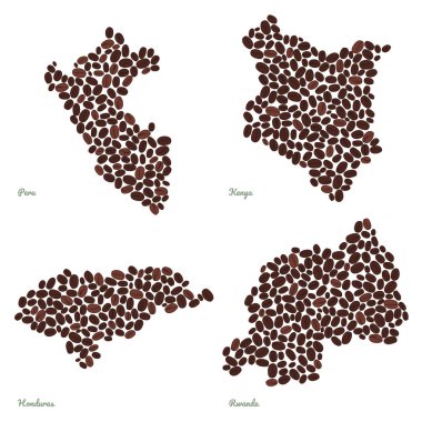
Country maps made out of coffee beans. Vegetarian illustration. Four maps set. Largest Coffee Producing Countries. For illustrators, decoration or infographics.

Orange button with the image maps of Peru in the form of national flag

Peru map and words cloud with larger cities

North and South America, Europe, Africa Global World

North, South, and Central AMERICA, Global World

Communication across the world with light lines