Rwanda map with location pointer marks. Infographic vector template, isolated on white background.

Rwanda vector maps with administrative regions, municipalities, departments, borders

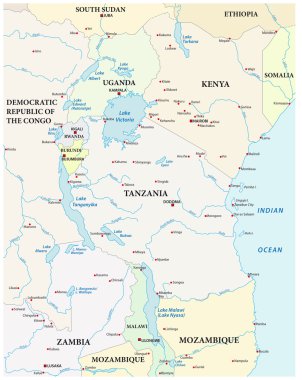
Vector map of the great African lakes

Vector maps set. High detailed 46 maps of African countries with administrative division and cities. Political map, map of Africa continent, world map, globe, infographic elements. Part 2.

Vector isometric maps set - Africa continent. Maps of African countries with administrative division and cities. Part 1.

Map of Rwanda in Africa

East africa administrative map with flags

Blue map of Africa with flag against white background

Simple vector outline map of the great African lakes

Rwanda road and national park vector map

Rwanda administrative and political vector map with flag

Administrative map of the african state Republic of Rwanda with flag

Map of the world with a magnifying glass on a map of Rwanda.

Rwanda vector map with infographic elements, pointer marks. Editable template with regions, cities and capital Kigali.

Administrative division of the Republic of Rwanda

Rwanda vector map silhouette isolated on white background. High detailed silhouette illustration. State in central Africa.

Map of the Economic Community of Central African States (ECCAS).

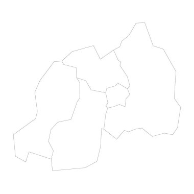
Rwanda political map of administrative divisions - provinces. Blank outline map. Solid thin black line borders.

Tanzania administrative and political vector map with flag

Rwanda provinces Map black and white illustration

Rwanda Map Silhouette with National Flag Design

Rwanda Location Highlighted on African Map with Flag Icon.

Rwanda political map of administrative divisions - provinces. Grey blank vector editable map EPS.