Saarland blank outline map set - vector version

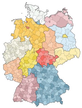
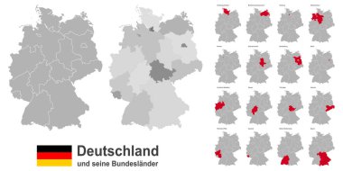
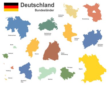
West european country germany and the federal states

Saarland state map. Vector illustration.

Map of Saarland, Germany with Dot Pattern

West european country germany and the federal states

Administrative and political vector map of Germany, newly revised 2019

Map of germany with all cities over one hundred thousand inhabitants in german language

Map of the state of Saarland in German language

The Saarland isolated map divided in districts, Germany

West european country germany and the federal states

Saarland state map, Germany, vector map silhouette illustration isolated on Germany map. Editable blank vector map. Province in Germany.

West european country germany and the federal states

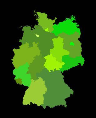
Blank Germany map vector silhouette illustration isolated on black background. Deutschland autonomous communities. High detailed Germany map regions administrative divisions, separated provinces map.

Niedersachsen, Nordrhein-Westfalen, Rheinland-Pfalz, Saarland outline maps

Germany map vector silhouette illustration isolated. Deutschland autonomous communities. Europe state, EU, Germany regions administrative divisions, provinces map. German editable map shape shadow.

Germany map vector silhouette illustration isolated. Deutschland autonomous communities. Colorful Germany regions administrative divisions, provinces map. Line contour German editable map shape shadow

Saarland state (Germany) outline map set