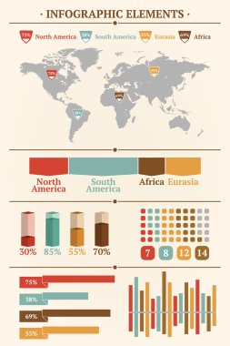
Retro infographics set. World Map and Information Graphics
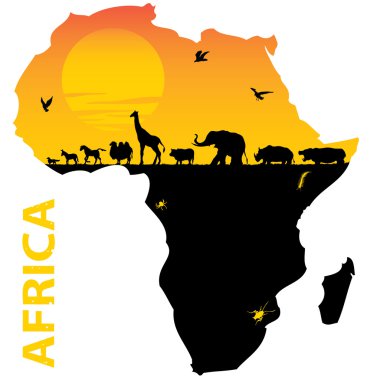
Vector illustration for the animals of Africa
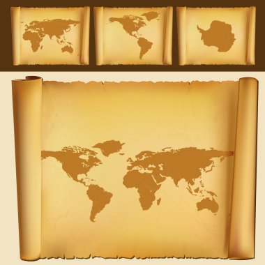
Old map of the world
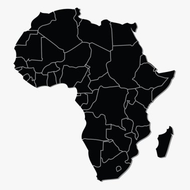
Vector map of Africa

Set of vector globe icons showing earth with all continents. Vector illustration.
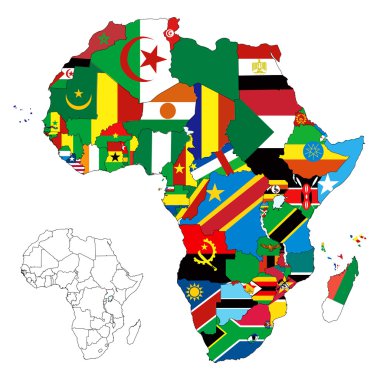
Vector illustration for the continent of Africa. Over 50 countries including several small islands, rivers and lakes not visible unless zoomed in. Very editable
Earth icon, vector design

Blue Africa map in origami style

Earth icon, vector illustration

Map of africa. map concept

Earth icon, vector illustration
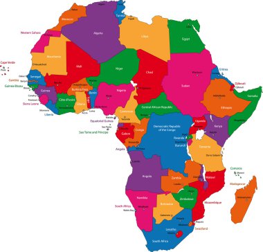
Colorful Africa map with countries and capital cities
Africa map in origami style
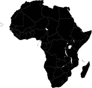
Africa map with countries

Africa silhouette vector map. Black and white version usable for travel marketing, real estate and education.

Africa map isolated on white background. World map vector illustration .
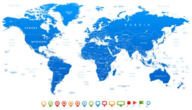
Highly detailed world map: countries, cities, water objects

Vector illustration the African continent
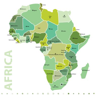
Vector map of Africa

South Africa map with the provinces and the main cities
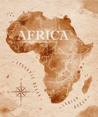
Map of Africa in old style in vector format, brown graphics in a retro style

Africa map - highly detailed vector illustration.
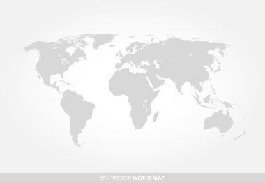
Light gray detailed world map on white background
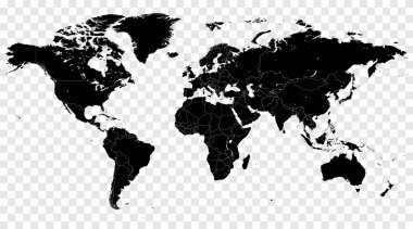
High Detail Vector Political World Map illustration, cleverly organized with layers
Dotted world map on white
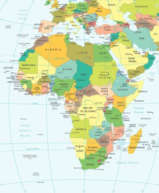
Africa map - highly detailed vector illustration.
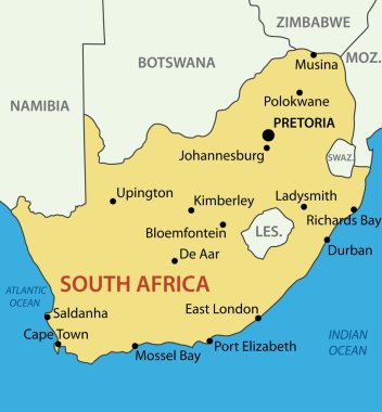
Republic of South Africa - vector map

Funny cartoon world map with childrens of different nationalities, animals and monuments of all the continents and oceans. Names in spanish. Vector illustration for preschool education and kids design.
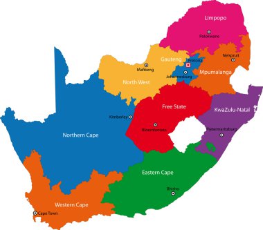
South Africa map designed in illustration with the provinces and the main cities

Africa map illustration
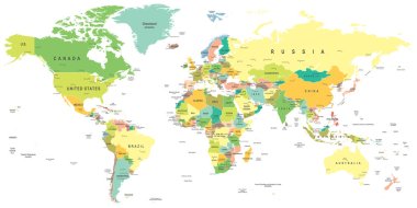
World map - highly detailed vector illustration.

African woman portrait in ethnic turban isolated on white background. Afro design logo banner. Vector stock

Hand drawn pattern Africa day background
African seamless

Africa - vector map

Highly detailed World Map with vintage color.
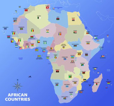
Map of African continent divided by nations and states with flags and country names, vector illustration
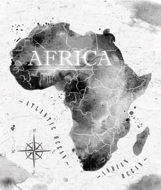
Ink Africa map in vector format black and white graphics in vintage style
African woman silhouette with an African map as a head wrap. Concept design and illustration

Southern Africa region political map. Southernmost region of African continent. South Africa, Namibia, Botswana, Swaziland and Lesotho. With capitals and borders English labeling. Illustration. Vector

Coloured political map of Africa

Grunge map of South Africa with South African flag

Highly detailed Political World Map with navigation icons.All elements are separated in editable layers clearly labeled.

Zoom on South Africa Map and Flag. World Map
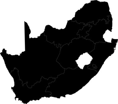
South Africa map designed in illustration with the provinces

Political map of Africa. Vector illustration design

World map in russian
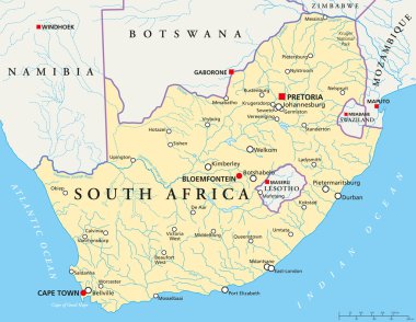
Political map of South Africa with the capitals Pretoria, Bloemfontein and Cape Town, with national borders, the most important cities, rivers and lakes. Vector illustration with english labeling and scale.
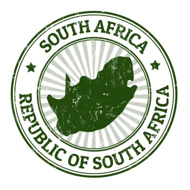
Grunge rubber stamp with the name and map of South Africa, vector illustration

Simple flat blue map of Africa continent with national borders and country name labels on white background. Vector illustration.
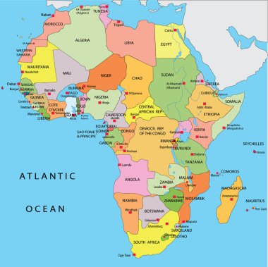
Political map of Africa

African countries set, maps and flags, part 2

Vector political map of Africa. 5 regions of Africa. Colorful hand drawn illustration of the African continent with labels in English

Vector illustration EPS10. Map of Africa and flags of African countries. The url of the reference to map is: http://www.lib.utexas.edu/maps/africa/africa_pol_2012.pdf
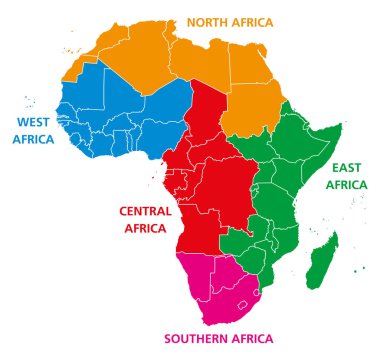
Regions of Africa. Political map. United Nations geoscheme with single countries. North, West, Central, East and Southern Africa in different colors. English labeling. Illustration over white. Vector.

Map of south africa as an overview map in pastel green

This is a simple map of Africa.

Vector political map of Africa. Colorful hand drawn illustration of the African continent with labels in English

Vector political map of Africa. Colorful hand drawn illustration of the African continent with labels in English

Africa contoured map with highlighted South Africa. South Africa map and flag on Africa map. Vector Illustration.

Africa countries flags in pointer icons

White blank vector map of the Republic of South Africa with black borders of its provinces

Political map of South-Central Africa with capitals, national borders, rivers and lakes. With english labeling and scale.

South Africa Administrative map with the provinces and districts

Highly detailed political vector map Africa

Gray political map of South Africa, RSA. Administrative divisions - provinces. Simple flat vector map with labels.

This is a simple map of Africa.

Vector illustration EPS10. Map of Africa and flags of African countries. The url of the reference to map is: http://www.lib.utexas.edu/maps/africa/africa_pol_2012.pdf

South Africa, political map with provinces, largest cities, international and administrative borders. Republic and southernmost country in Africa, with capitals Pretoria, Cape Town and Bloemfontein.
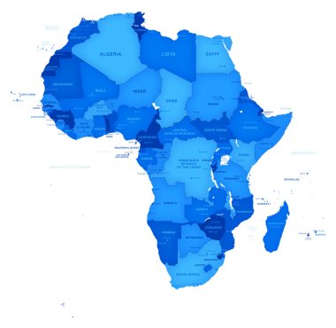
Hi detail Vector blu map of Africa with Shaded borders.
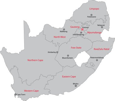
South Africa map designed in illustration with the provinces and the main cities.

Abstract map of South Africa with red circle lines

Africa map - highly detailed vector illustration.

Map of all African countries

The detailed map of South Africa with regions or states and cities, capital. Administrative division
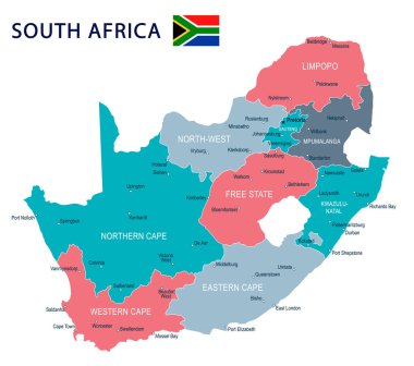
South Africa map and flag - highly detailed vector illustration
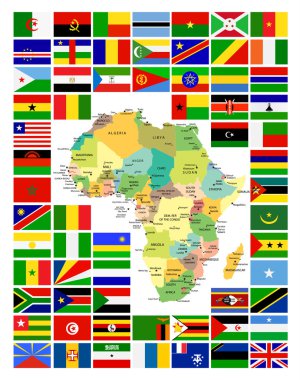
All African Flags Complete Set and It's Map. Flag set in alphabetical order.All elements are separated in editable layers clearly labeled.
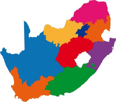
South Africa map designed in illustration with the provinces
High detailed flag of South Africa. National South Africa flag. Africa. 3D illustration.
World map background with pionts
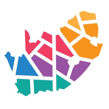
Colorful geometric South Africa map- vector illustration

South Africa map with shadow effect presentation
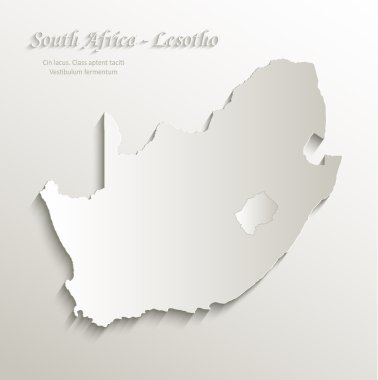
South Africa Lesotho map card paper 3D natural vector
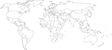
Vector illustration of world map, white color with black outline, isolated

Black vector map of South Africa

South Africa National flag on map contour icon. Map of South Africa with national flag vector design and illustration.

Africa map and travel

Africa patterned map with ethnic sunset landscape. Logo Banner, tribal traditional African colors, strips pattern elements, concept design. Vector Ethnic African continent isolated on white background

Africa patterned map. Banner with tribal traditional grunge African pattern, elements, concept design. Vector isolated on orange background

African map silhouette with a traditional pattern. Concept design

African background, flyer with tribal traditional grunge pattern. Concept design

Africa letters. Banner with tribal traditional grunge pattern, concept design

African woman silhouette with an African map as a head wrap. Concept design and illustration

African background, flyer with tribal traditional pattern. Concept design

African background, flyer with tribal traditional grunge pattern. Concept design

African map silhouette with tribal traditional grunge pattern. Concept design

African background, flyer with tribal traditional pattern. Concept design
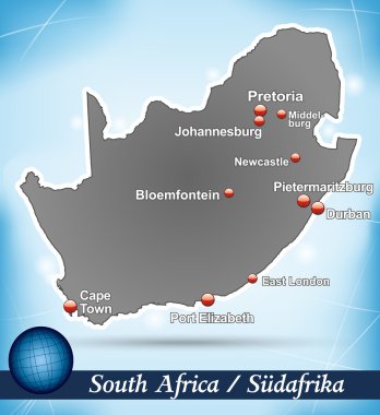
Map of south africa with abstract background in blue

African woman silhouette with an African map as a head wrap. Concept design and illustration

BRICS Brazil, Russia, India, China, South Africa world map in flat style with 4 colors. Modern map design.