
The Southeast Region map and its location in Brazil

United States, geographic regions, colored political map. Five regions, according to their geographic position on the continent. Common but unofficial way of referring to regions of the United States.

Europe with selected Albania map and Albania flag icon.

Socialist Republic of Vietnam - vector map

Southeast Asia, political map with borders. Subregion of Asia with countries south of China, east of India, west of New Guinea, north of Australia. Gray illustration on white background. Vector.

ASEAN Economic Community, AEC, map. Grey map with blue highlighted member countries, Southeast Asia. Vector illustration.

Vector illustration of World Map

Thailand road vector map

City map Singapore, travel vector poster design

Southeast Asia map - highly detailed vector illustration.

Administrative division of the Republic of Mozambique

Indonesia is depicted on a folded paper map and pinned location marker with flag of Indonesia.

Southeast Asia Map - Vintage Detailed Vector Illustration

Map of Southeast Asia. Vector map in shades of grey.
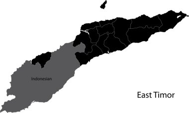
Black East Timor map with districts borders

Map of Socialist Republic of Vietnam with the provinces colored in bright colors

Southeast Asia Region. Map of countries in southeastern Asia. Vector illustration.

Continent Asia, political map with colored single states and countries. With the Asian part of Russia and Turkey and Sinai Peninsula as African part. English labeling. Illustration over white. Vector.

Highlighted Singapore on Global Map with 3D Flag Location Pin of Singapore.

Vector road map of Croatian island Brac

Vector silhouette Singapore map. Vector illustration

Highly detailed Thailand physical map with labeling.

World map in perspective showing the location of the country Vietnam with detailed map with flag of Vietnam.
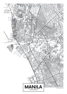
City map Manila, travel vector poster design

City map Taipei, monochrome detailed plan, vector illustration

City map Taipei, travel vector poster design

Vector map of Singapore. Pink highlighted in Southeast Asia region.
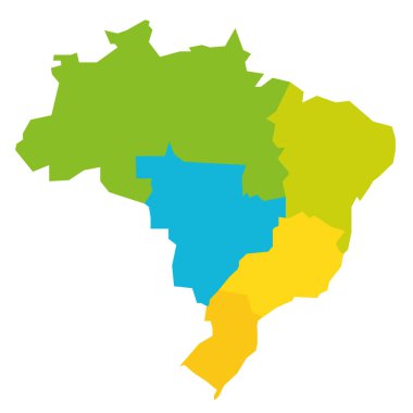
Colorful political map of Brazil. States divide by color into 5 regions . Simple flat blank vector map

Vietnam Map - Vintage Detailed Vector Illustration
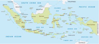
Map of Indonesia with the provinces

Asian Economic Community, Association of Southeast Asia map doodle ,vector Illustration
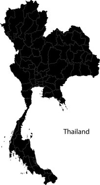
Black map of Kingdom of Thailand with the provinces

Illustration of a map of Brazil with the southeast region highlighted
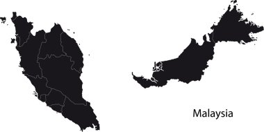
Malaysia map with states

Political vector map of Thailand with all regions and their capitals

Illustration of history and trading, Ancient Silk Road, silk trade with China, The Silk Road was a network of trade routes connecting China and the Far East with the Middle East and Europe

Colorful map of World divided into regions. Simple flat vector illustration.

Southeast Asia map. High detailed political map of southeastern region with country, ocean and sea names labeling.
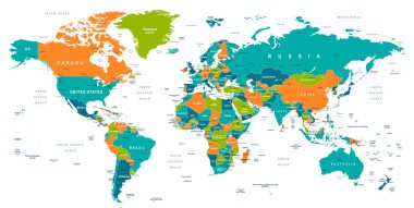
Vector illustration of World Map
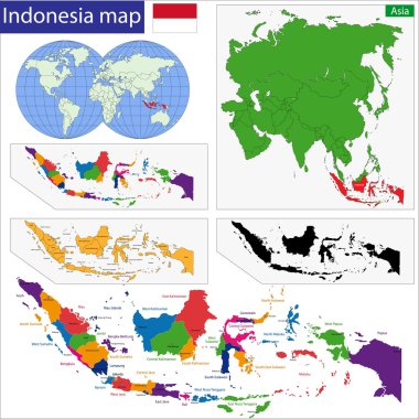
Map of the Republic of Indonesia with the provinces colored in bright colors

Graphical Image of disputed Territories among countries Philippines, China and Vietnam.

Landmarks, Travel and Tourist Attraction

Myanmar vector road map with important cities

Republic of singapore road map

Pacific Centered World map with magnified Indonesia. Flag and map of Indonesia.

Map of Brazil with divisions of states and regions

Sun Belt of the United States, political map. Region with desert, subtropical and tropical climate. Generally considered to stretch across Southwest and Southeast, comprising the southernmost states.
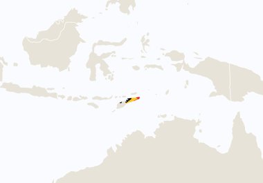
Asia with highlighted East Timor map. Vector Illustration

Southeast Asia map - brown orange hue colored on dark background. High detailed political map of southeastern region with country, ocean and sea names labeling.

Vector map of Southeast Asia.

Map of Indonesia with the provinces

Vietnam map separated on the provinces

Location of Indonesia on Southeast Asia

Southeast Asia map - highly detailed vector illustration.

Browser window with map of Albania, searching Albania in internet.

City map Jakarta, travel vector poster design

Vector map Philippines. Isolated vector Illustration. Black on White background. EPS 10 Illustration.

South Asia Political Map Isolated on White. Detailed vector map of South Asia.

Asian Economic Community, Association of Southeast Asia map vector Illustration

Map of Kingdom of Cambodia with the provinces colored in bright colors

Southeast Region map, Brazil. Vector Illustration.

Landmarks, Travel and Tourist Attraction

Vector illustration of World Map

Political map of Southeast Asia. Colorful hand-drawn cartoon style illustrated map with bathymetry. Handwritten labels of country, capital city, sea and ocean names. Simple flat vector map.

Southeast Asia Map - Vintage Detailed Vector Illustration

Southeast Asia map - white lands and grey water. High detailed political map of southeastern region with country, capital, ocean and sea names labeling.

Southeast Asia map - highly detailed vector illustration.

Digital map of Cambodia. Illustrated with dynamic grid network.

Simplified maps of Brazil with state divisions. Black and white outlines.

Isometric map and flag of Thailand. 3D isometric shape of Thailand. Vector Illustration.

Asean Map dotted with Flags illustration, for background (AEC, AFTA, ASEAN), easy to modify

Vector map of the world with outline style

South Asia Political Map. Detailed vector map of South Asia.

Southeast Asia map - green hue colored on dark background. High detailed political map of southeastern region with country, capital, ocean and sea names labeling.

Southeast Asia Region. Colorful map of countries in southeastern Asia. Vector illustration.

Highly detailed Thailand physical map with labeling.

Malaysia Map - Vintage Detailed Vector Illustration

ASEAN Economic Community, AEC, concept

Highlighted Philippines on Global Map with 3D Flag Location Pin of Philippines.

Simple (only sharp corners) map of Philippines vector drawing. Mercator projection. Filled and outline version.

Black map of Singapore

Southeast Asia blank map. High detailed political map of southeastern asian region

Political map of Southeast Asia. Black outline hand-drawn cartoon style illustrated map with bathymetry. Handwritten labels of country, capital city, sea and ocean names. Simple flat vector map.

Vector color southeast asia map

Map of World divided into regions. Simple flat vector illustration.

Simplified maps of the Africa with countries boundaries. Black and white outlines.

Vector illustration of colorful map. Asia continent with names of countries and borders isolated on white background

Vector map Philippines. Isolated vector Illustration. Black on White background. EPS 10 Illustration.

ASEAN Economic Community, AEC, concept
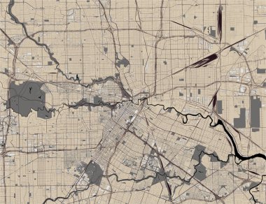
Vector map of the city of Houston, U.S. state of Texas, USA
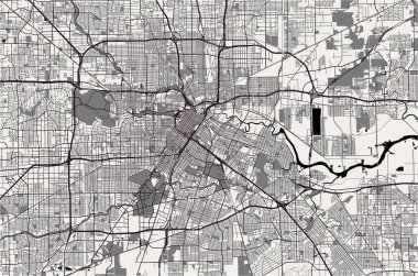
Vector map of the city of Houston, U.S. state of Texas, USA

Kuala Lumpur map poster, administrative area plan view. Black, white and blue detailed design map of Kuala Lumpur city with rivers and streets. Outline silhouette of metropolitan cityscape.

Indonesia Map Vector Illustration - Silhouette, Outline, Indonesia Travel and Tourism Map

Vector map Philippines. Isolated vector Illustration. Black on White background. EPS 10 Illustration.

Vector color map of Vietnam
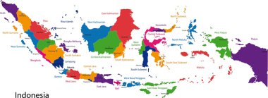
Map of the Republic of Indonesia with the provinces colored in bright colors

Colorful map of World divided into regions. Simple flat vector illustration.

Indonesia infographics, statistical data, Indonesia information, vector illustration

Political vector map of Thailand with all regions and their capitals

City map Kuala Lumpur, travel vector poster design