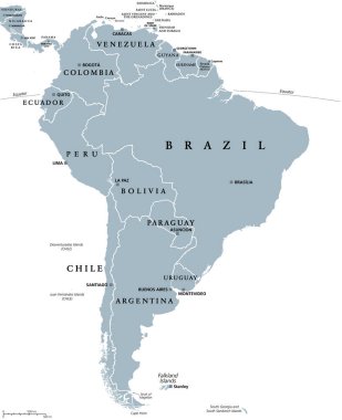
South America, gray political map with international borders and capitals. A continent, bordered by the Pacific and Atlantic Ocean, North America and the Caribbean Sea. Isolated illustration. Vector.

Vector high detailed map of South America. All layers detached and labeled.

South America, multi colored political map with international borders and capitals. Continent, bordered by the Pacific and Atlantic Ocean, North America and the Caribbean Sea. Isolated illustration.

Political map of South America with all countries and national borders. Blue outline illustration on white background and english scaling.
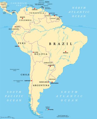
South America, political map with borders, capitals and the largest rivers. A continent, bordered by the Pacific and the Atlantic Ocean, by North America and the Caribbean Sea. Illustration. Vector.
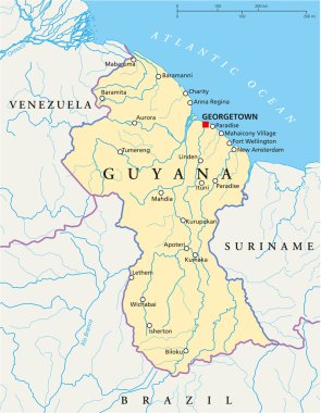
Guyana Political Map with capital Georgetown, national borders, most important cities and rivers. Illustration with labeling and scaling.

Political map of Americas in four shades of turquoise blue on white background. North and South America with country labels. Simple flat vector illustration.
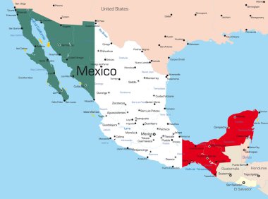
Abstract vector color map of Mexico country colored by national flag

South America map with each country map separately isolated on white background. All layers detached and labeled. Vector

Political map of South America. Blue silhouette illustration on white background with english scaling.
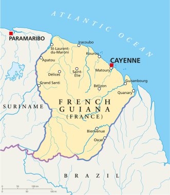
French Guiana Political Map with capital Cayenne, national borders, most important cities, rivers and lakes. Illustration with English labeling and scaling.
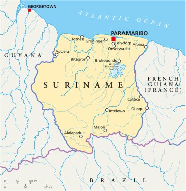
Suriname Political Map with capital Paramaribo, national borders, most important cities, rivers and lakes. Illustration with labeling and scaling.

French Guiana political map with capital Cayenne and borders. Overseas department and region of France, located in South America. Gray illustration on white background. English labeling. Vector.

Map of North and South America. Flags of the Americas

South America political division map - vector illustration.

Map of South America. Political division - countries and capital ciites. Countries are separate objects, you can change color of every country.

South America political division map - vector illustration.

South America countries political map with national borders. Continent surrounded by Pacific and Atlantic Ocean. English labeling. Illustration.
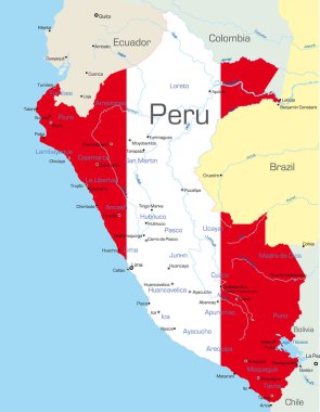
Abstract vector color map of Peru country colored by national flag

Vector color map of South America

Political map of Americas in grey on white background. North and South America with country labels. Simple flat vector illustration.
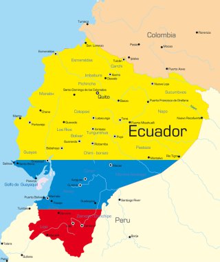
Abstract vector color map of Ecuador country colored by national flag

South America political division map - vector illustration.

South America detailed continent political map with cartoon style flat flags and GPS icons.

Association of the Caribbean States map

Detailed map of the administrative division of Brazil

Highly Detailed South America Blind Map With Capital Dots.

Highly Detailed South America Political Map With Country And Capitals Name.

Political map of South America. Simple flat vector map with country name labels in grey.

Highly Detailed South America Blind Map.

Vector map of South America Continent with Countries, Capitals, Main Cities and Seas and islands names in brilliant colors.

South America political map with each country selectable independent
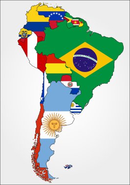
Highly Detailed South America Map With Country Flags.

Suriname high detailed vector representation of country silhouette. White color on transparent background with dropped shadow. For educational, decorative, or informational use.

Hand drawn watercolor map of South America isolated on white. Vector version
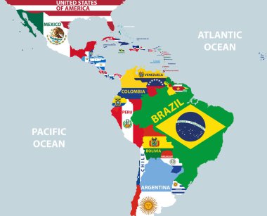
Vector part of world map with region of Latin American countries mixed with their national flags

Blank political map of South America. Simple flat vector outline map.

Abstract vector color map of Argentina country

Vector map of Chile country
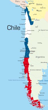
Abstract vector color map of Chile country colored by national flag

Political map of South America. Vector illustration.
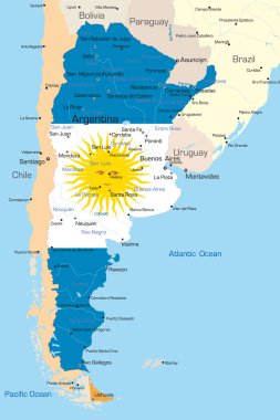
Abstract vector color map of Argentina country colored by national flag

Political map of Americas in four shades of green on white background. North and South America with country labels. Simple flat vector illustration.

Political map of Americas in four shades of orange on white background. North and South America with country labels. Simple flat vector illustration.
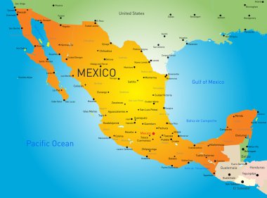
Abstract vector color map of Mexico country

Political map of Americas in four shades of blue on white background. North and South America with country labels. Simple flat vector illustration.

Silhouette American continent isolated over white background. vector

Outline maps of the countries in North and South America continent , vector illustration

South America detailed continent blind map, silhouette map and political map.

Political map of Americas in four colors on dark grey background. North and South America with country labels. Simple flat vector illustration.

Political map of Americas in four shades of grey on white background. North and South America with country labels. Simple flat vector illustration.
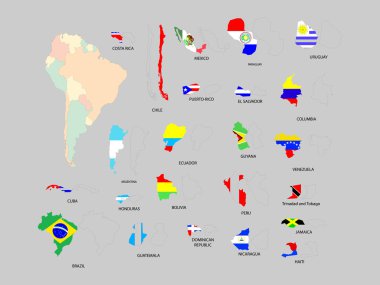
Vector illustration of south American countries with flags

Political map of South America. Simple flat vector map with country name labels in four shades of turquoise blue.

Political map of Americas in four shades of orange. North and South America with country labels. Simple flat vector illustration.

Outline maps of the countries in North and South America continent , vector illustration

Political map of Americas in CMYK colors on white background. North and South America. Simple flat vector illustration.

Travel around the world to South America

Political map of South America. Simple flat blank vector map in four shades of turquoise blue.

Hand drawn watercolor map of South America isolated on white. Vector version

Highly Detailed South America political map

Highly Detailed South America Silhouette with borders, vector illustration. White&Blue.
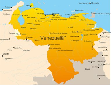
Abstract vector color map of Venezuela country

Colorful map of South America on blue background.
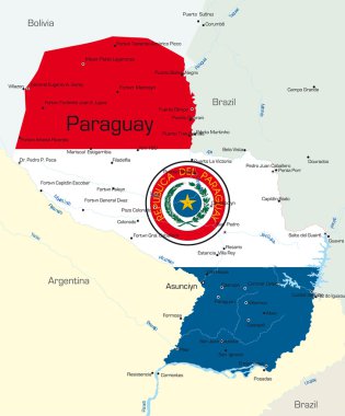
Abstract vector color map of Paraguay country colored by national flag

Travel around the world. Argentina. Watercolor map

Political map of South America. Simple flat vector map with country name labels in four shades of gray.
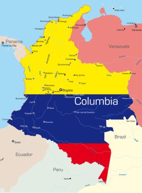
Abstract vector color map of Colombia country colored by national flag
South america Color vector icon on dark background

Vector map of South America Continent with Countries, Capitals, Main Cities and Seas and islands names in classic soft colors.
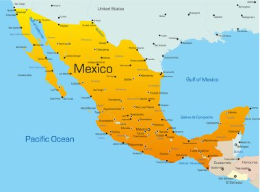
Abstract vector color map of Mexico country
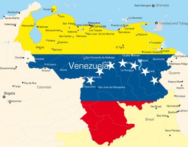
Abstract vector color map of Venezuela country colored by national flag

Colorful South America texture made by strokes, vector

Map of South America. Political division - countries and capital ciites. Countries are separate objects, you can change color of every country.

Hand drawn pencil stroke map of South America isolated on white. Vector version

Abstract vector color map of Brazil country

The illustration of Colombia map with national flag. Vector Image.
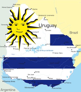
Abstract vector color map of Uruguay country colored by national flag

Map of South America. Political division. Countries are separate objects, you can change color of every country.

Highly Detailed South America Map Silhouette.

South america Gold vector icon with black contour line. Flat computer symbol

Republic of Suriname administrative and political vector map.
Vector map Suriname. Isolated vector Illustration. Black on White background. EPS 10 Illustration.
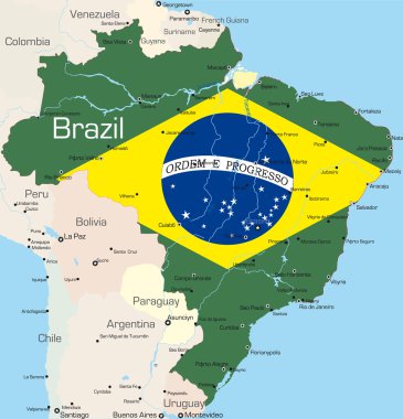
Abstract vector color map of Brazil country colored by national flag

South america Simple line vector button. Thin line illustration icon. White outline symbol on grey background

Set of Camera Lens with South American Flags. Vector design.
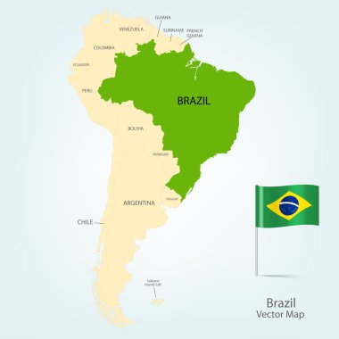
The illustration of Brazil map with country borders. Vector Image.

South American political map set with map pointers

The illustration of Peru map with national flag. Vector Image.
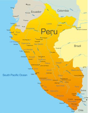
Abstract vector color map of Peru country

Vector map of Colombia country

South America single states political map. All countries in different colors, with national borders and country names. English labeling and scaling. Illustration on white background.

The illustration of Peru map with national flag. Vector Image.

South America map

The illustration of Uruguay map. Vector Image

Detailed vector map of South America Region on white

Map of South America in hand drawn style
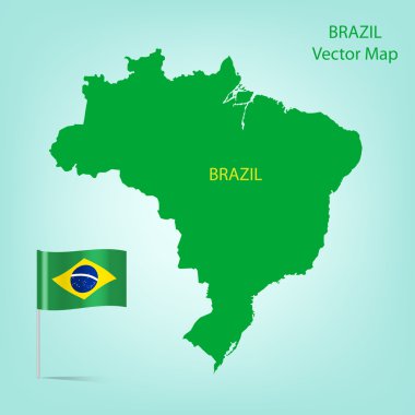
The illustration of Brazil map with national flag. Vector Image

Map of South America. Political division - countries and capital ciites. Countries are separate objects, you can change color of every country.

Suriname - vintage map and flag - High Detailed Vector Illustration

Abstract vector color map of Ecuador country