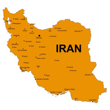
Iran Detailed Map Isolated on White Background. Vector Illustration

Tabriz Linear City Skyline, Iran
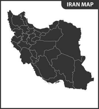
The detailed map of Iran with regions or states. Administrative division.

Illustration of a bright multicolored carpet with floral ornaments
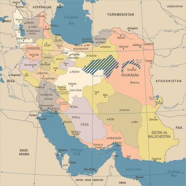
Iran Map - Vintage High Detailed Vector Illustration
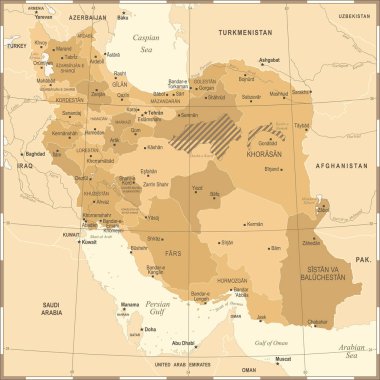
Iran Map - Vintage High Detailed Vector Illustration
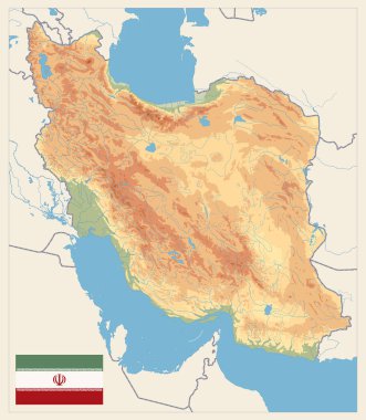
Physical map of Iran Retro Colors. No text. Image contains layers with shaded contours, land names, city names, water objects and it's names.
Peace Sign of the Iranian flag
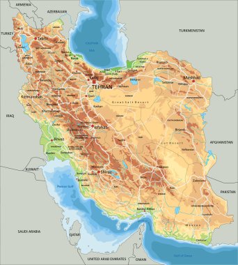
High detailed Iran physical map with labeling.

Vintage ancient eastern carpet in detail. Vector illustration
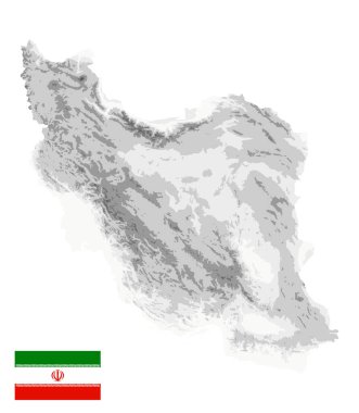
Iran Physical Map White and Gray Colors Isolated On White. No text. All elements are separated in editable layers clearly labeled. Vector illustration.

Iran map and flag - High Detailed Vector Illustration

Iran Map -Vintage High Detailed Vector Illustration
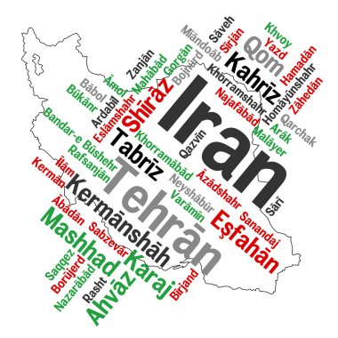
Map of Iran and text design with major cities

The detailed map of Iran with regions or states and cities, capital. Administrative division.

Illustration of a bright multicolored carpet with floral ornaments

Highly Detailed Physical Map of Iran. Image contains layers with shaded contours, land names, city names, water objects and it's names, highways.

High detailed vector map. Iran. New Map 2023

Detailed Iran administrative map with country flag and location on a blue globe. Vector illustration

Illustration of a bright multicolored carpet with floral ornaments

Iran Physical Map White and Gray Colors. No text. All elements are separated in editable layers clearly labeled. Vector illustration.

Illustration of a bright multicolored carpet with floral ornaments

Vector detailed map of Iran country

Cities in Iran. Famous places of big cities

Vector detailed map of Iran country
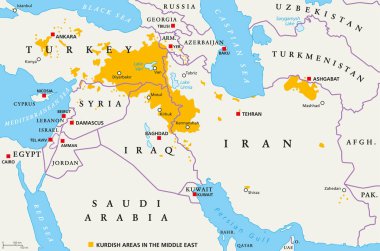
Kurdish areas in the Middle East, political map. Countries with their capitals, national borders and important cities. Kurdish areas in orange color. Illustration with English labeling. Vector.
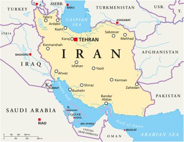
Iran Political Map with capital Tehran, national borders, most important cities, rivers and lakes. English labeling and scaling. Illustration.

Physical map of Iran Old Colors. Image contains layers with shaded contours, land names, city names, water objects and it's names.