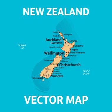
NZ map. Vector map of New Zealand with cities, rivers and roads on separate layers.

Tonga highly detailed political map
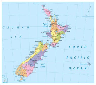
New Zealand Political Map. Detailed Administrative Map of New Zealand. Vector illustration.

Road map of the Australian state New South Wales map

Vector map of the alaska highway, united states, canada
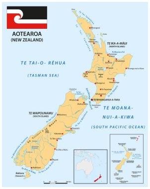
Vector map of New Zealand in Maori language

Vector map with the most important wine regions of New Zealand

Vector color map of New Zealand country

Vector map of the australian island tasmania

New Zealand Political Map Isolated on White. Detailed Administrative Map of New Zealand. Vector illustration.
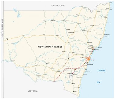
Road map of the Australian state New South Wales map

Color, detailed map of New Zealand divided into regions. Each division is on a separate layer (concerning vector file).

Tasmania road and national park map
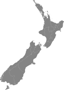
Detailed map of New Zealand divided into regions. Each division is on a separate layer (concerning vector file).

New Zealand map in blue color with national borders. Vector illustration.

Vector highly detailed political map of Australia with regions and their capitals. All elements are separated in editable layers clearly labeled. EPS 10
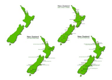
A set of four detailed maps of New Zealand isolated on a white background.

New zealand administrative and political vector map with flag

New Zealand map hand draw vector. illustration EPS10.

Vector map of the australian island tasmania

Southern Midlands, Tasman, Waratah - Wynyard, West Coast, West Tamar outline maps

New South Wales county map, Australia

Administrative and political map of the New Zealand city Auckland

Tasman (New Zealand) blank outline map set

Road map of the Taranaki Peninsula, New Zealand

Tasman region blank outline map

Map of the local board of the New Zealand city of Auckland